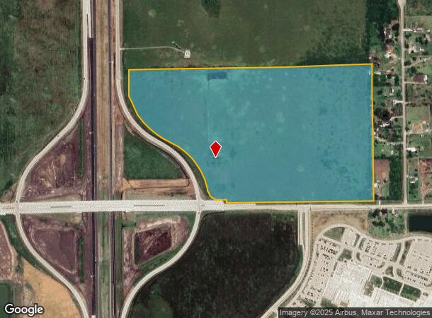
Property Record
Highway 288, Rosharon, TX 77583
NEARBY LISTINGS FOR SALE OR LEASE
Property Detail
Highway 288
Houston-Pasadena-The Woodlands, TX
H T & B R R
0513-0003-000
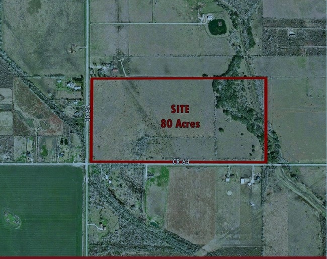
A0513 H T & B R R TRACT 15-16-16A ACRES 59.59
Agriculturalland
Brazoria
AE
Texas
48039C0120K
59.59 AC
2024
South Hwy 35
2025
Houston
661902
DEMOGRAPHICS near Highway 288
1 Mile
3 Mile
5 Mile
2024 Total Population
3,275
16,272
33,401
2029 Population
3,830
18,977
39,548
Pop Growth 2024-2029
+ 16.95%
+ 16.62%
+ 18.40%
Average Age
35
35
35
2024 Total Households
1,049
5,125
10,101
HH Growth 2024-2029
+ 17.16%
+ 16.80%
+ 19.31%
Median Household Inc
$92,366
$89,427
$81,664
Avg Household Size
3.10
3.20
3.10
2024 Avg HH Vehicles
2.00
2.00
2.00
Median Home Value
$326,064
$310,618
$267,675
Median Year Built
2011
2011
2010
Nearby Places
Map Layers
Map Styles
 Street
 Aerial
- Restaurants
- Banks
- Shops
- Fitness
- Groceries
PUBLIC TRANSPORTATION
AIRPORT
William P Hobby
DRIVE
WALK
Distance
William P Hobby
34 min
22.1 mi
Freight Ports
Port of Houston
DRIVE
WALK
Distance
Port of Houston
39 min
28.9 mi
Nearby Properties
Address
Land Use
TOTAL SIZE
Lot Size
Zoning
Address
Land Use
TOTAL SIZE
Lot Size
Zoning
170.62 AC
Address
Land Use
TOTAL SIZE
Lot Size
Zoning
125,750 SF
28.32 AC
Address
Land Use
TOTAL SIZE
Lot Size
Zoning
Address
Land Use
TOTAL SIZE
Lot Size
Zoning
199,508 SF
18.04 AC
Address
Land Use
TOTAL SIZE
Lot Size
Zoning
121,138 SF
11.52 AC
Address
Land Use
TOTAL SIZE
Lot Size
Zoning
65,403 SF
14.65 AC
Address
Land Use
TOTAL SIZE
Lot Size
Zoning
14,968 SF
1.81 AC
Address
Land Use
TOTAL SIZE
Lot Size
Zoning
47,500 SF
Address
Land Use
TOTAL SIZE
Lot Size
Zoning
16,298 SF
2.87 AC
Address
Land Use
TOTAL SIZE
Lot Size
Zoning
17,250 SF
2.39 AC
Address
Land Use
TOTAL SIZE
Lot Size
Zoning
7,298 SF
7.97 AC
Address
Land Use
TOTAL SIZE
Lot Size
Zoning
17,756 SF
3.27 AC
Address
Land Use
TOTAL SIZE
Lot Size
Zoning
14,726 SF
1.80 AC
Address
Land Use
TOTAL SIZE
Lot Size
Zoning
17,700 SF
2.59 AC
Address
Land Use
TOTAL SIZE
Lot Size
Zoning
4,743 SF
1.35 AC
Address
Land Use
TOTAL SIZE
Lot Size
Zoning
25,613 SF
10.11 AC
0034
Address
Land Use
TOTAL SIZE
Lot Size
Zoning
10,080 SF
4.06 AC
Address
Land Use
TOTAL SIZE
Lot Size
Zoning
7,256 SF
1.91 AC
Address
Land Use
TOTAL SIZE
Lot Size
Zoning
7,946 SF
2.31 AC
Address
Land Use
TOTAL SIZE
Lot Size
Zoning
7,200 SF
1.91 AC
0011
Address
Land Use
TOTAL SIZE
Lot Size
Zoning
22,650 SF
10 AC
0027
Address
Land Use
TOTAL SIZE
Lot Size
Zoning
13,075 SF
1.57 AC
Address
Land Use
TOTAL SIZE
Lot Size
Zoning
10.40 AC
Address
Land Use
TOTAL SIZE
Lot Size
Zoning
15,750 SF
14.46 AC
Address
Land Use
TOTAL SIZE
Lot Size
Zoning
17.42 AC
QY
Address
Land Use
TOTAL SIZE
Lot Size
Zoning
11,391 SF
14.54 AC
0009
Address
Land Use
TOTAL SIZE
Lot Size
Zoning
19,420 SF
3 AC
Address
Land Use
TOTAL SIZE
Lot Size
Zoning
3,769 SF
117.39 AC
0001
Address
Land Use
TOTAL SIZE
Lot Size
Zoning
102.36 AC
0001
Address
Land Use
TOTAL SIZE
Lot Size
Zoning
15,400 SF
2.35 AC
The World's #1 Commercial Real Estate Marketplace
Connect with us
© 2026 CoStar Group
The information above has been obtained from sources believed reliable. While we do not doubt its accuracy we have not verified it and make no guarantee, warranty or representation about it. It is your responsibility to independently confirm its accuracy and completeness. Any projections, opinions, assumptions, or estimates used are for example only and do not represent the current or future performance of the property. The value of this transaction to you depends on tax and other factors which should be evaluated by your tax, financial, and legal advisors. You and your advisors should conduct a careful, independent investigation of the property to determine to your satisfaction the suitability of the property for your needs.