Property Record
Highway 31, Clarksville, IN 47129
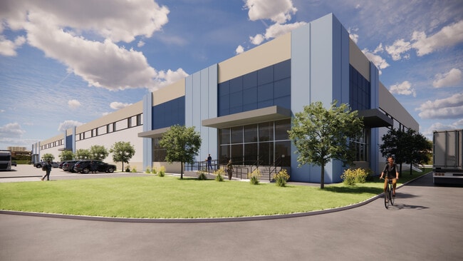
Current Lease Availabilities
NEARBY LISTINGS FOR SALE OR LEASE
Property Detail
Highway 31
Louisville-Jefferson County, KY-IN
GT 48 BEAMS SUBD. PARTS LOT 4 5.3309 AC BY SURVEY
10-24-04-800-023.000-013
Clark
Agriculturalland
Indiana
X
4
18019C0276E
5.33 AC
2024
South Clark County
2024
Louisville
050403
DEMOGRAPHICS near Highway 31
1 Mile
3 Mile
5 Mile
2024 Total Population
2,788
43,945
120,243
2029 Population
3,069
46,413
125,912
Pop Growth 2024-2029
+ 10.08%
+ 5.62%
+ 4.71%
Average Age
42
41
41
2024 Total Households
1,043
17,844
49,455
HH Growth 2024-2029
+ 10.45%
+ 5.80%
+ 4.73%
Median Household Inc
$52,143
$65,403
$60,575
Avg Household Size
2.50
2.40
2.30
2024 Avg HH Vehicles
2.00
2.00
2.00
Median Home Value
$126,356
$189,045
$173,866
Median Year Built
1996
1992
1979
Nearby Places
Map Layers
Map Styles
 Street
 Aerial
- Restaurants
- Banks
- Shops
- Fitness
- Groceries
PUBLIC TRANSPORTATION
AIRPORT
Louisville Muhammad Ali International
DRIVE
WALK
Distance
Louisville Muhammad Ali International
24 min
14.1 mi
Freight Ports
Port of Toledo
DRIVE
WALK
Distance
Port of Toledo
354 min
306.5 mi
Nearby Properties
Address
Land Use
TOTAL SIZE
Lot Size
Zoning
Address
Land Use
TOTAL SIZE
Lot Size
Zoning
662,942 SF
77.29 AC
Address
Land Use
TOTAL SIZE
Lot Size
Zoning
13,240 SF
20.84 AC
Address
Land Use
TOTAL SIZE
Lot Size
Zoning
4,361 SF
18.18 AC
Address
Land Use
TOTAL SIZE
Lot Size
Zoning
3,452 SF
13.22 AC
Address
Land Use
TOTAL SIZE
Lot Size
Zoning
620,000 SF
33.95 AC
Address
Land Use
TOTAL SIZE
Lot Size
Zoning
607,500 SF
34.89 AC
Address
Land Use
TOTAL SIZE
Lot Size
Zoning
4,402 SF
9.99 AC
Address
Land Use
TOTAL SIZE
Lot Size
Zoning
4,178 SF
10.39 AC
Address
Land Use
TOTAL SIZE
Lot Size
Zoning
Address
Land Use
TOTAL SIZE
Lot Size
Zoning
14,720 SF
13 AC
Address
Land Use
TOTAL SIZE
Lot Size
Zoning
27,360 SF
10.17 AC
Address
Land Use
TOTAL SIZE
Lot Size
Zoning
120,337 SF
18.20 AC
Address
Land Use
TOTAL SIZE
Lot Size
Zoning
8,752 SF
19.78 AC
Address
Land Use
TOTAL SIZE
Lot Size
Zoning
2,208 SF
26.20 AC
Address
Land Use
TOTAL SIZE
Lot Size
Zoning
2,000 SF
13.11 AC
Address
Land Use
TOTAL SIZE
Lot Size
Zoning
136,949 SF
36.89 AC
Address
Land Use
TOTAL SIZE
Lot Size
Zoning
21,540 SF
9.35 AC
Address
Land Use
TOTAL SIZE
Lot Size
Zoning
128,269 SF
10.18 AC
Address
Land Use
TOTAL SIZE
Lot Size
Zoning
84,873 SF
15.71 AC
Address
Land Use
TOTAL SIZE
Lot Size
Zoning
3,116 SF
16.22 AC
Address
Land Use
TOTAL SIZE
Lot Size
Zoning
56,775 SF
5.30 AC
Address
Land Use
TOTAL SIZE
Lot Size
Zoning
11,695 SF
18.33 AC
Address
Land Use
TOTAL SIZE
Lot Size
Zoning
1,679 SF
7.87 AC
Address
Land Use
TOTAL SIZE
Lot Size
Zoning
75,560 SF
8.18 AC
Address
Land Use
TOTAL SIZE
Lot Size
Zoning
173,121 SF
15.82 AC
Address
Land Use
TOTAL SIZE
Lot Size
Zoning
9,900 SF
11.23 AC
Address
Land Use
TOTAL SIZE
Lot Size
Zoning
204,750 SF
26.96 AC
Address
Land Use
TOTAL SIZE
Lot Size
Zoning
131,510 SF
14.62 AC
Address
Land Use
TOTAL SIZE
Lot Size
Zoning
76,929 SF
10.03 AC
Address
Land Use
TOTAL SIZE
Lot Size
Zoning
58,884 SF
7.92 AC
The World's #1 Commercial Real Estate Marketplace
Connect with us
© 2025 CoStar Group
The information above has been obtained from sources believed reliable. While we do not doubt its accuracy we have not verified it and make no guarantee, warranty or representation about it. It is your responsibility to independently confirm its accuracy and completeness. Any projections, opinions, assumptions, or estimates used are for example only and do not represent the current or future performance of the property. The value of this transaction to you depends on tax and other factors which should be evaluated by your tax, financial, and legal advisors. You and your advisors should conduct a careful, independent investigation of the property to determine to your satisfaction the suitability of the property for your needs.