Property Record
5470 Norman Bridge Rd, Montgomery, AL 36105


Property Detail
5470 Norman Bridge Rd
14-06-13-0-000-002.000
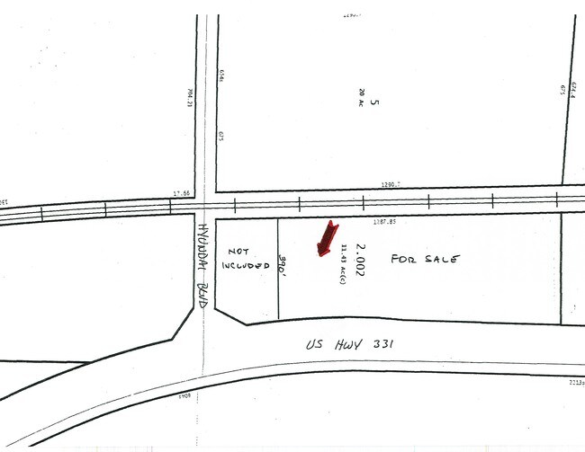
SEC 13 T15N R17E 7.3 AC IN NW1/4 1406130000002000
Commercialacreage
MONTGOMERY
AGR-1
Alabama
B and X Area of moderate flood hazard, usually the area between the limits of the 100-year and 500-year floods.
7.30 AC
2025
South Montgomery
2025
Montgomery
005904
Montgomery, AL
NEARBY LISTINGS FOR SALE OR LEASE
DEMOGRAPHICS near 5470 Norman Bridge Rd
1 mile
3 mile
5 mile
2025 Total Population
14
7,188
46,730
2030 Population
15
7,114
46,468
Pop Growth 2025-2030
+ 7.14%
(1.03%)
(0.56%)
Average Age
40
41
40
2025 Total Households
6
2,829
18,827
HH Growth 2025-2030
0.00%
(0.99%)
(0.49%)
Median Household Inc
$59,999
$56,992
$48,741
Avg Household Size
1.80
2.40
2.40
2025 Avg HH Vehicles
2.00
2.00
2.00
Median Home Value
$199,999
$88,014
$107,668
Median Year Built
1987
1972
1970
Nearby Places
Map Layers
Map Styles
 Street
 Aerial
Transit
 Traffic
 Biking
Places
Listings with unknown addresses are not visible on the map
- Restaurants
- Banks
- Shops
- Fitness
- Groceries
PUBLIC TRANSPORTATION
AIRPORT
Montgomery Regional (Dannelly Field)
Drive
Walk
Distance
Montgomery Regional (Dannelly Field)
14 min
9.9 mi
Freight Ports
Port of Panama City
Drive
Walk
Distance
Port of Panama City
239 min
189.4 mi
SALE & LEASE HISTORY
LISTING DATE
SALE/LEASE

Sep 24, 2016
For Sale
Nearby Properties
Address
Land Use
TOTAL SIZE
Lot Size
Zoning
Address
Land Use
TOTAL SIZE
Lot Size
Zoning
909,718 SF
310.14 AC
M-3
Address
Land Use
TOTAL SIZE
Lot Size
Zoning
1,408 SF
Address
Land Use
TOTAL SIZE
Lot Size
Zoning
3,670 SF
239.11 AC
Address
Land Use
TOTAL SIZE
Lot Size
Zoning
403,088 SF
114.39 AC
M-1
Address
Land Use
TOTAL SIZE
Lot Size
Zoning
9,060 SF
524.11 AC
Address
Land Use
TOTAL SIZE
Lot Size
Zoning
482.36 AC
AGR-1
Address
Land Use
TOTAL SIZE
Lot Size
Zoning
92,810 SF
100 AC
M-3
Address
Land Use
TOTAL SIZE
Lot Size
Zoning
93,745 SF
16 AC
B-4
Address
Land Use
TOTAL SIZE
Lot Size
Zoning
16,016 SF
30 AC
AGR-1
Address
Land Use
TOTAL SIZE
Lot Size
Zoning
396 SF
312.19 AC
AGR-1
Address
Land Use
TOTAL SIZE
Lot Size
Zoning
271.07 AC
AGR-1
Address
Land Use
TOTAL SIZE
Lot Size
Zoning
52,355 SF
2.19 AC
B-2
Address
Land Use
TOTAL SIZE
Lot Size
Zoning
21,252 SF
4.59 AC
R-65-M
Address
Land Use
TOTAL SIZE
Lot Size
Zoning
231.10 AC
Address
Land Use
TOTAL SIZE
Lot Size
Zoning
1,627 SF
14 AC
R-65-M
Address
Land Use
TOTAL SIZE
Lot Size
Zoning
5,040 SF
162.48 AC
Address
Land Use
TOTAL SIZE
Lot Size
Zoning
7,792 SF
7.20 AC
R-65-M
Address
Land Use
TOTAL SIZE
Lot Size
Zoning
5,263 SF
0.99 AC
R-65-M
Address
Land Use
TOTAL SIZE
Lot Size
Zoning
39,050 SF
13 AC
R-65-S
Address
Land Use
TOTAL SIZE
Lot Size
Zoning
27,888 SF
1.20 AC
M-1
Address
Land Use
TOTAL SIZE
Lot Size
Zoning
34,846 SF
6 AC
M1
Address
Land Use
TOTAL SIZE
Lot Size
Zoning
115 AC
M-3
Address
Land Use
TOTAL SIZE
Lot Size
Zoning
4,926 SF
3.30 AC
INST
Address
Land Use
TOTAL SIZE
Lot Size
Zoning
79.25 AC
Address
Land Use
TOTAL SIZE
Lot Size
Zoning
2,767 SF
43.60 AC
AGR-1
Address
Land Use
TOTAL SIZE
Lot Size
Zoning
77.54 AC
AGR-1
Address
Land Use
TOTAL SIZE
Lot Size
Zoning
1,100 SF
3.50 AC
AGR-1
Address
Land Use
TOTAL SIZE
Lot Size
Zoning
7,150 SF
2.01 AC
R-60-A
Address
Land Use
TOTAL SIZE
Lot Size
Zoning
60.70 AC
M-3
Address
Land Use
TOTAL SIZE
Lot Size
Zoning
4,089 SF
1.70 AC
B-2
The World's #1 Commercial Real Estate Marketplace
Connect with us
© 2026 CoStar Group
The information above has been obtained from sources believed reliable. While we do not doubt its accuracy we have not verified it and make no guarantee, warranty or representation about it. It is your responsibility to independently confirm its accuracy and completeness. Any projections, opinions, assumptions, or estimates used are for example only and do not represent the current or future performance of the property. The value of this transaction to you depends on tax and other factors which should be evaluated by your tax, financial, and legal advisors. You and your advisors should conduct a careful, independent investigation of the property to determine to your satisfaction the suitability of the property for your needs.