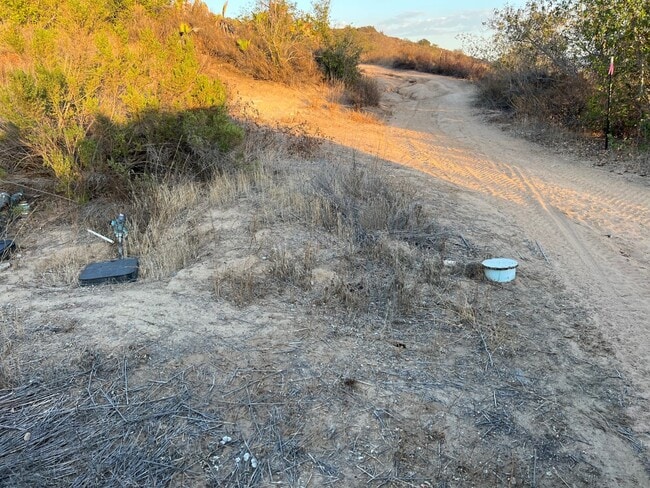
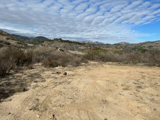
Property Record
Highway 395, Fallbrook, CA 92028

Property Detail
Highway 395
108-170-28
TCT A POR TR PB0001PG108
Residentialacreage
SAN DIEGO
RV
California
B and X Area of moderate flood hazard, usually the area between the limits of the 100-year and 500-year floods.
1.87 AC
2024
Outlying SD County N
2025
San Diego
019001
San Diego-Chula Vista-Carlsbad, CA
NEARBY LISTINGS FOR SALE OR LEASE
DEMOGRAPHICS near Highway 395
1 mile
3 mile
5 mile
2024 Total Population
1,622
13,109
49,185
2029 Population
1,645
13,125
49,037
Pop Growth 2024-2029
+ 1.42%
+ 0.12%
(0.30%)
Average Age
48
46
41
2024 Total Households
675
4,856
16,416
HH Growth 2024-2029
+ 1.19%
(0.08%)
(0.46%)
Median Household Inc
$109,821
$113,681
$91,375
Avg Household Size
2.40
2.70
2.90
2024 Avg HH Vehicles
2.00
3.00
2.00
Median Home Value
$700,450
$770,182
$727,145
Median Year Built
1993
1988
1983
Nearby Places
Map Layers
Map Styles
 Street
 Aerial
Transit
 Traffic
 Biking
Places
Listings with unknown addresses are not visible on the map
- Restaurants
- Banks
- Shops
- Fitness
- Groceries
SALE & LEASE HISTORY
LISTING DATE
SALE/LEASE

Sep 27, 2022
For Sale
Nearby Properties
Address
Land Use
TOTAL SIZE
Lot Size
Zoning
Address
Land Use
TOTAL SIZE
Lot Size
Zoning
97.01 AC
A70
Address
Land Use
TOTAL SIZE
Lot Size
Zoning
11,840 SF
6.59 AC
A70
Address
Land Use
TOTAL SIZE
Lot Size
Zoning
39.82 AC
RMH5
Address
Land Use
TOTAL SIZE
Lot Size
Zoning
119.48 AC
A70
Address
Land Use
TOTAL SIZE
Lot Size
Zoning
19,391 SF
1.71 AC
C36
Address
Land Use
TOTAL SIZE
Lot Size
Zoning
4.65 AC
RR
Address
Land Use
TOTAL SIZE
Lot Size
Zoning
7,174 SF
3.88 AC
C36
Address
Land Use
TOTAL SIZE
Lot Size
Zoning
5.04 AC
A70
Address
Land Use
TOTAL SIZE
Lot Size
Zoning
5 AC
A70
Address
Land Use
TOTAL SIZE
Lot Size
Zoning
177.93 AC
A70
Address
Land Use
TOTAL SIZE
Lot Size
Zoning
6,487 SF
15.42 AC
A70
Address
Land Use
TOTAL SIZE
Lot Size
Zoning
6.26 AC
A70
Address
Land Use
TOTAL SIZE
Lot Size
Zoning
7,329 SF
9.56 AC
A70
Address
Land Use
TOTAL SIZE
Lot Size
Zoning
23.55 AC
A70
Address
Land Use
TOTAL SIZE
Lot Size
Zoning
6.51 AC
RR
Address
Land Use
TOTAL SIZE
Lot Size
Zoning
14.33 AC
A70
Address
Land Use
TOTAL SIZE
Lot Size
Zoning
2,140 SF
6.27 AC
A70
Address
Land Use
TOTAL SIZE
Lot Size
Zoning
2.20 AC
A70
Address
Land Use
TOTAL SIZE
Lot Size
Zoning
8.07 AC
A70
Address
Land Use
TOTAL SIZE
Lot Size
Zoning
6,012 SF
4.13 AC
A70
Address
Land Use
TOTAL SIZE
Lot Size
Zoning
6,542 SF
10.04 AC
A70
Address
Land Use
TOTAL SIZE
Lot Size
Zoning
7.28 AC
A70
Address
Land Use
TOTAL SIZE
Lot Size
Zoning
7.80 AC
A70
Address
Land Use
TOTAL SIZE
Lot Size
Zoning
60.24 AC
A70
Address
Land Use
TOTAL SIZE
Lot Size
Zoning
2,934 SF
2.46 AC
A70
Address
Land Use
TOTAL SIZE
Lot Size
Zoning
4,004 SF
2.38 AC
A70
Address
Land Use
TOTAL SIZE
Lot Size
Zoning
6,145 SF
10.57 AC
A70
Address
Land Use
TOTAL SIZE
Lot Size
Zoning
5.96 AC
A70
Address
Land Use
TOTAL SIZE
Lot Size
Zoning
3,758 SF
7.16 AC
A70
Address
Land Use
TOTAL SIZE
Lot Size
Zoning
9.60 AC
A70
The World's #1 Commercial Real Estate Marketplace
Connect with us
© 2026 CoStar Group
The information above has been obtained from sources believed reliable. While we do not doubt its accuracy we have not verified it and make no guarantee, warranty or representation about it. It is your responsibility to independently confirm its accuracy and completeness. Any projections, opinions, assumptions, or estimates used are for example only and do not represent the current or future performance of the property. The value of this transaction to you depends on tax and other factors which should be evaluated by your tax, financial, and legal advisors. You and your advisors should conduct a careful, independent investigation of the property to determine to your satisfaction the suitability of the property for your needs.