Property Record
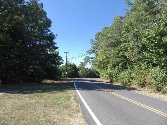
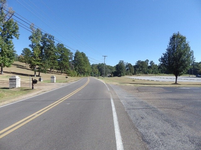
Highway 45 N, Columbus, MS 39705

Property Detail
Highway 45 N
Columbus, MS
8.2 ACRES HWY 45 N & HOLLY HILLS RD
46W20-00-06900
LOWNDES
Servicestation
Mississippi
AE The base floodplain where base flood elevations are provided. AE Zones are now used on new format FIRMs instead of A1-A30 Zones.
8.20 AC
2025
Vicksburg/Central Area
2025
Other Market Areas
000302
NEARBY LISTINGS FOR SALE OR LEASE
DEMOGRAPHICS near Highway 45 N
1 mile
3 mile
5 mile
2025 Total Population
2,743
12,154
26,592
2030 Population
2,644
11,990
26,235
Pop Growth 2025-2030
(3.61%)
(1.35%)
(1.34%)
Average Age
39
41
41
2025 Total Households
1,312
5,430
11,106
HH Growth 2025-2030
(3.58%)
(1.40%)
(1.35%)
Median Household Inc
$64,558
$52,268
$46,804
Avg Household Size
2.00
2.20
2.20
2025 Avg HH Vehicles
2.00
2.00
2.00
Median Home Value
$259,588
$200,594
$166,820
Median Year Built
1982
1978
1976
Nearby Places
Map Layers
Map Styles
 Street
 Aerial
Layers
 Traffic
 Biking
Places
Listings with unknown addresses are not visible on the map
- Restaurants
- Banks
- Shops
- Fitness
- Groceries
PUBLIC TRANSPORTATION
AIRPORT
Golden Triangle Regional
Drive
Walk
Distance
Golden Triangle Regional
24 min
14.9 mi
Freight Ports
Port of Mobile
Drive
Walk
Distance
Port of Mobile
261 min
224.4 mi
SALE & LEASE HISTORY
LISTING DATE
SALE/LEASE

Nov 11, 2016
For Sale
Nearby Properties
Address
Land Use
TOTAL SIZE
Lot Size
Zoning
Address
Land Use
TOTAL SIZE
Lot Size
Zoning
210,798 SF
12.88 AC
Address
Land Use
TOTAL SIZE
Lot Size
Zoning
76,286 SF
0.02 AC
Address
Land Use
TOTAL SIZE
Lot Size
Zoning
38,000 SF
1.80 AC
Address
Land Use
TOTAL SIZE
Lot Size
Zoning
11,402 SF
30.30 AC
Address
Land Use
TOTAL SIZE
Lot Size
Zoning
4,000 SF
11.40 AC
Address
Land Use
TOTAL SIZE
Lot Size
Zoning
16,589 SF
47.50 AC
Address
Land Use
TOTAL SIZE
Lot Size
Zoning
134,799 SF
15.29 AC
Address
Land Use
TOTAL SIZE
Lot Size
Zoning
3,063 SF
10.19 AC
Address
Land Use
TOTAL SIZE
Lot Size
Zoning
60,623 SF
3.33 AC
Address
Land Use
TOTAL SIZE
Lot Size
Zoning
5,400 SF
0.36 AC
Address
Land Use
TOTAL SIZE
Lot Size
Zoning
45,903 SF
2 AC
Address
Land Use
TOTAL SIZE
Lot Size
Zoning
47,304 SF
4.60 AC
Address
Land Use
TOTAL SIZE
Lot Size
Zoning
57,175 SF
3.03 AC
Address
Land Use
TOTAL SIZE
Lot Size
Zoning
40,929 SF
2.65 AC
Address
Land Use
TOTAL SIZE
Lot Size
Zoning
35,057 SF
1.83 AC
Address
Land Use
TOTAL SIZE
Lot Size
Zoning
48,539 SF
0.02 AC
Address
Land Use
TOTAL SIZE
Lot Size
Zoning
1,795 SF
8.60 AC
Address
Land Use
TOTAL SIZE
Lot Size
Zoning
68,428 SF
8.70 AC
Address
Land Use
TOTAL SIZE
Lot Size
Zoning
6,290 SF
1 AC
Address
Land Use
TOTAL SIZE
Lot Size
Zoning
8,412 SF
7.10 AC
Address
Land Use
TOTAL SIZE
Lot Size
Zoning
103,842 SF
0.02 AC
Address
Land Use
TOTAL SIZE
Lot Size
Zoning
50,570 SF
2.50 AC
Address
Land Use
TOTAL SIZE
Lot Size
Zoning
86,498 SF
8.46 AC
Address
Land Use
TOTAL SIZE
Lot Size
Zoning
10,220 SF
3.70 AC
Address
Land Use
TOTAL SIZE
Lot Size
Zoning
33,134 SF
0.02 AC
Address
Land Use
TOTAL SIZE
Lot Size
Zoning
171,387 SF
29.73 AC
Address
Land Use
TOTAL SIZE
Lot Size
Zoning
4,608 SF
5 AC
Address
Land Use
TOTAL SIZE
Lot Size
Zoning
5,682 SF
10 AC
Address
Land Use
TOTAL SIZE
Lot Size
Zoning
26,807 SF
1.67 AC
Address
Land Use
TOTAL SIZE
Lot Size
Zoning
42,666 SF
2 AC
The World's #1 Commercial Real Estate Marketplace
Connect with us
© 2026 CoStar Group
The information above has been obtained from sources believed reliable. While we do not doubt its accuracy we have not verified it and make no guarantee, warranty or representation about it. It is your responsibility to independently confirm its accuracy and completeness. Any projections, opinions, assumptions, or estimates used are for example only and do not represent the current or future performance of the property. The value of this transaction to you depends on tax and other factors which should be evaluated by your tax, financial, and legal advisors. You and your advisors should conduct a careful, independent investigation of the property to determine to your satisfaction the suitability of the property for your needs.