Property Record
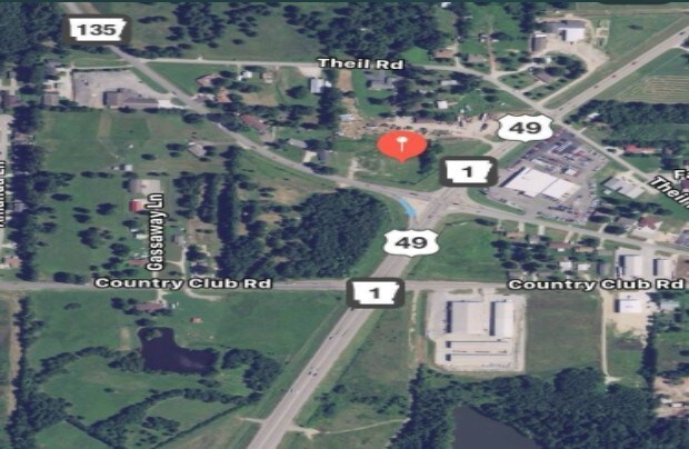
Highway 49, Paragould, AR 72450

Property Detail
Highway 49
Paragould, AR
THAT PT NE SE & THAT PT SE SE SEC 33 TWP 16N RNG 5E DAF BEG AT NW COR OF SD SE SE TH N0*47'E 179.7' TO TRUE POB TH N0*47'E 37
0011-33400-007
GREENE
Commercialacreage
Arkansas
B and X Area of moderate flood hazard, usually the area between the limits of the 100-year and 500-year floods.
0.35 AC
2025
Arkansas North Area
2025
Other Market Areas
480401
NEARBY LISTINGS FOR SALE OR LEASE
-
-
View all Paragould listings for sale on LoopNet.com
DEMOGRAPHICS near Highway 49
1 mile
3 mile
5 mile
2025 Total Population
3,695
24,982
32,286
2030 Population
3,767
25,350
32,729
Pop Growth 2025-2030
+ 1.95%
+ 1.47%
+ 1.37%
Average Age
38
38
39
2025 Total Households
1,440
9,708
12,460
HH Growth 2025-2030
+ 2.01%
+ 1.48%
+ 1.40%
Median Household Inc
$54,566
$51,908
$54,119
Avg Household Size
2.50
2.50
2.50
2025 Avg HH Vehicles
2.00
2.00
2.00
Median Home Value
$162,464
$163,048
$170,896
Median Year Built
1991
1987
1988
Nearby Places
Map Layers
Map Styles
 Street
 Aerial
Layers
 Traffic
 Biking
Places
Listings with unknown addresses are not visible on the map
- Restaurants
- Banks
- Shops
- Fitness
- Groceries
SALE & LEASE HISTORY
LISTING DATE
SALE/LEASE

Mar 01, 2018
For Sale
Nearby Properties
Address
Land Use
TOTAL SIZE
Lot Size
Zoning
Address
Land Use
TOTAL SIZE
Lot Size
Zoning
22,826 SF
10 AC
Address
Land Use
TOTAL SIZE
Lot Size
Zoning
38,250 SF
8.37 AC
Address
Land Use
TOTAL SIZE
Lot Size
Zoning
17,558 SF
1.69 AC
Address
Land Use
TOTAL SIZE
Lot Size
Zoning
1,446 SF
5.11 AC
Address
Land Use
TOTAL SIZE
Lot Size
Zoning
18,368 SF
2.47 AC
Address
Land Use
TOTAL SIZE
Lot Size
Zoning
12,400 SF
3 AC
Address
Land Use
TOTAL SIZE
Lot Size
Zoning
12,797 SF
6.70 AC
Address
Land Use
TOTAL SIZE
Lot Size
Zoning
11,250 SF
2.05 AC
Address
Land Use
TOTAL SIZE
Lot Size
Zoning
16,893 SF
5 AC
Address
Land Use
TOTAL SIZE
Lot Size
Zoning
4,556 SF
3.07 AC
Address
Land Use
TOTAL SIZE
Lot Size
Zoning
11,750 SF
2.09 AC
Address
Land Use
TOTAL SIZE
Lot Size
Zoning
10,250 SF
2.96 AC
Address
Land Use
TOTAL SIZE
Lot Size
Zoning
23,600 SF
1.20 AC
Address
Land Use
TOTAL SIZE
Lot Size
Zoning
7,800 SF
6.83 AC
Address
Land Use
TOTAL SIZE
Lot Size
Zoning
11,200 SF
2.01 AC
Address
Land Use
TOTAL SIZE
Lot Size
Zoning
25,500 SF
1.90 AC
Address
Land Use
TOTAL SIZE
Lot Size
Zoning
9,000 SF
2.03 AC
Address
Land Use
TOTAL SIZE
Lot Size
Zoning
160 AC
Address
Land Use
TOTAL SIZE
Lot Size
Zoning
Address
Land Use
TOTAL SIZE
Lot Size
Zoning
8,000 SF
2.58 AC
Address
Land Use
TOTAL SIZE
Lot Size
Zoning
12,520 SF
3.04 AC
Address
Land Use
TOTAL SIZE
Lot Size
Zoning
6,810 SF
3.04 AC
Address
Land Use
TOTAL SIZE
Lot Size
Zoning
6,750 SF
3 AC
Address
Land Use
TOTAL SIZE
Lot Size
Zoning
9,300 SF
0.82 AC
Address
Land Use
TOTAL SIZE
Lot Size
Zoning
13,950 SF
1.93 AC
Address
Land Use
TOTAL SIZE
Lot Size
Zoning
4,556 SF
1.90 AC
Address
Land Use
TOTAL SIZE
Lot Size
Zoning
10,000 SF
17.67 AC
Address
Land Use
TOTAL SIZE
Lot Size
Zoning
7,500 SF
4.40 AC
Address
Land Use
TOTAL SIZE
Lot Size
Zoning
12,000 SF
5.53 AC
Address
Land Use
TOTAL SIZE
Lot Size
Zoning
5.51 AC
The World's #1 Commercial Real Estate Marketplace
Connect with us
© 2026 CoStar Group
The information above has been obtained from sources believed reliable. While we do not doubt its accuracy we have not verified it and make no guarantee, warranty or representation about it. It is your responsibility to independently confirm its accuracy and completeness. Any projections, opinions, assumptions, or estimates used are for example only and do not represent the current or future performance of the property. The value of this transaction to you depends on tax and other factors which should be evaluated by your tax, financial, and legal advisors. You and your advisors should conduct a careful, independent investigation of the property to determine to your satisfaction the suitability of the property for your needs.