Property Record
Highway 5, Thomasville, AL 36784


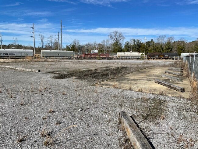
This Property Is For Sale
Property Detail
Highway 5
1103050000006010
BEG 1295'(S) W OF SE COR S5; S'LY 1748'(S); W'LY 272'(S); S' LY 318'(S); W'LY 1077'(S); N'LY 713.2'; E'LY 25'(S); N'LY 49
Officebuilding
CLARKE
B and X Area of moderate flood hazard, usually the area between the limits of the 100-year and 500-year floods.
Alabama
2024
62 AC
2025
Alabama South Area
957601
Other Market Areas
3,018 SF
NEARBY LISTINGS FOR SALE OR LEASE
-
-
View all Thomasville listings for sale on LoopNet.com
DEMOGRAPHICS near Highway 5
1 mile
3 mile
5 mile
2025 Total Population
132
474
3,259
2030 Population
127
448
3,133
Pop Growth 2025-2030
(3.79%)
(5.49%)
(3.87%)
Average Age
44
43
42
2025 Total Households
48
184
1,341
HH Growth 2025-2030
(2.08%)
(5.43%)
(3.65%)
Median Household Inc
$9,791
$35,357
$44,556
Avg Household Size
2.40
2.40
2.30
2025 Avg HH Vehicles
2.00
2.00
2.00
Median Home Value
$118,182
$118,254
$157,705
Median Year Built
1983
1984
1985
Nearby Places
Map Layers
Map Styles
 Street
 Aerial
Transit
 Traffic
 Biking
Places
Listings with unknown addresses are not visible on the map
- Restaurants
- Banks
- Shops
- Fitness
- Groceries
Nearby Properties
Address
Land Use
TOTAL SIZE
Lot Size
Zoning
Address
Land Use
TOTAL SIZE
Lot Size
Zoning
54,330 SF
7.97 AC
Address
Land Use
TOTAL SIZE
Lot Size
Zoning
2,113 SF
3.27 AC
Address
Land Use
TOTAL SIZE
Lot Size
Zoning
1,680 SF
67 AC
Address
Land Use
TOTAL SIZE
Lot Size
Zoning
1,894 SF
35 AC
Address
Land Use
TOTAL SIZE
Lot Size
Zoning
6,209 SF
1.89 AC
Address
Land Use
TOTAL SIZE
Lot Size
Zoning
Address
Land Use
TOTAL SIZE
Lot Size
Zoning
3,565 SF
0.75 AC
Address
Land Use
TOTAL SIZE
Lot Size
Zoning
9,100 SF
0.53 AC
Address
Land Use
TOTAL SIZE
Lot Size
Zoning
Address
Land Use
TOTAL SIZE
Lot Size
Zoning
Address
Land Use
TOTAL SIZE
Lot Size
Zoning
Address
Land Use
TOTAL SIZE
Lot Size
Zoning
10.60 AC
Address
Land Use
TOTAL SIZE
Lot Size
Zoning
Address
Land Use
TOTAL SIZE
Lot Size
Zoning
Address
Land Use
TOTAL SIZE
Lot Size
Zoning
193 AC
Address
Land Use
TOTAL SIZE
Lot Size
Zoning
194 AC
Address
Land Use
TOTAL SIZE
Lot Size
Zoning
192 AC
Address
Land Use
TOTAL SIZE
Lot Size
Zoning
2,460 SF
3.89 AC
Address
Land Use
TOTAL SIZE
Lot Size
Zoning
145.27 AC
Address
Land Use
TOTAL SIZE
Lot Size
Zoning
Address
Land Use
TOTAL SIZE
Lot Size
Zoning
3.70 AC
Address
Land Use
TOTAL SIZE
Lot Size
Zoning
Address
Land Use
TOTAL SIZE
Lot Size
Zoning
Address
Land Use
TOTAL SIZE
Lot Size
Zoning
44.10 AC
Address
Land Use
TOTAL SIZE
Lot Size
Zoning
Address
Land Use
TOTAL SIZE
Lot Size
Zoning
120 AC
Address
Land Use
TOTAL SIZE
Lot Size
Zoning
Address
Land Use
TOTAL SIZE
Lot Size
Zoning
3,600 SF
8 AC
Address
Land Use
TOTAL SIZE
Lot Size
Zoning
The World's #1 Commercial Real Estate Marketplace
Connect with us
© 2026 CoStar Group
The information above has been obtained from sources believed reliable. While we do not doubt its accuracy we have not verified it and make no guarantee, warranty or representation about it. It is your responsibility to independently confirm its accuracy and completeness. Any projections, opinions, assumptions, or estimates used are for example only and do not represent the current or future performance of the property. The value of this transaction to you depends on tax and other factors which should be evaluated by your tax, financial, and legal advisors. You and your advisors should conduct a careful, independent investigation of the property to determine to your satisfaction the suitability of the property for your needs.