Property Record
Highway 6, , TX


Property Detail
Highway 6
Houston-Pasadena-The Woodlands, TX
0032 A HODGE, TRACT 8, ACRES 2.681, IMPERIAL HS-2 COMMERCIAL TRACT REPLAT OF RESERVE B, RESERVE A (COMMERCIAL)
0032-00-000-0020-907
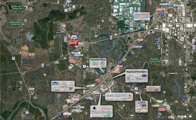
FORT BEND
Taxexempt
Texas
AE The base floodplain where base flood elevations are provided. AE Zones are now used on new format FIRMs instead of A1-A30 Zones.
14.58 AC
2024
E Fort Bend Co/Sugar Land
2025
Houston
672100
NEARBY LISTINGS FOR SALE OR LEASE
DEMOGRAPHICS near Highway 6
1 mile
3 mile
5 mile
2024 Total Population
4,389
83,744
284,805
2029 Population
5,340
100,121
331,254
Pop Growth 2024-2029
+ 21.67%
+ 19.56%
+ 16.31%
Average Age
40
40
39
2024 Total Households
1,661
27,473
92,391
HH Growth 2024-2029
+ 22.28%
+ 20.15%
+ 17.01%
Median Household Inc
$109,189
$96,485
$83,163
Avg Household Size
2.50
3.00
3.00
2024 Avg HH Vehicles
2.00
2.00
2.00
Median Home Value
$468,656
$330,292
$289,698
Median Year Built
2010
1998
1994
Nearby Places
Map Layers
Map Styles
 Street
 Aerial
Transit
 Traffic
 Biking
Places
Listings with unknown addresses are not visible on the map
- Restaurants
- Banks
- Shops
- Fitness
- Groceries
PUBLIC TRANSPORTATION
AIRPORT
William P Hobby
Drive
Walk
Distance
William P Hobby
43 min
26.8 mi
Freight Ports
Port of Houston
Drive
Walk
Distance
Port of Houston
43 min
28.9 mi
SALE & LEASE HISTORY
LISTING DATE
SALE/LEASE

Sep 08, 2023
For Sale
Oct 17, 2024
For Sale
Nearby Properties
Address
Land Use
TOTAL SIZE
Lot Size
Zoning
Address
Land Use
TOTAL SIZE
Lot Size
Zoning
448,502 SF
35.66 AC
Address
Land Use
TOTAL SIZE
Lot Size
Zoning
171,425 SF
29.96 AC
Address
Land Use
TOTAL SIZE
Lot Size
Zoning
221,618 SF
6.50 AC
Address
Land Use
TOTAL SIZE
Lot Size
Zoning
94,547 SF
13.59 AC
Address
Land Use
TOTAL SIZE
Lot Size
Zoning
378,797 SF
10.97 AC
Address
Land Use
TOTAL SIZE
Lot Size
Zoning
Address
Land Use
TOTAL SIZE
Lot Size
Zoning
287,350 SF
59.38 AC
Address
Land Use
TOTAL SIZE
Lot Size
Zoning
77,850 SF
8.53 AC
YQZ
Address
Land Use
TOTAL SIZE
Lot Size
Zoning
104,287 SF
13.56 AC
M
Address
Land Use
TOTAL SIZE
Lot Size
Zoning
88,705 SF
17.04 AC
SY
Address
Land Use
TOTAL SIZE
Lot Size
Zoning
260,269 SF
8.53 AC
Address
Land Use
TOTAL SIZE
Lot Size
Zoning
Address
Land Use
TOTAL SIZE
Lot Size
Zoning
171,800 SF
11.92 AC
Address
Land Use
TOTAL SIZE
Lot Size
Zoning
343,438 SF
54.92 AC
S
Address
Land Use
TOTAL SIZE
Lot Size
Zoning
61,006 SF
13.16 AC
X
Address
Land Use
TOTAL SIZE
Lot Size
Zoning
20.47 AC
Address
Land Use
TOTAL SIZE
Lot Size
Zoning
89,033 SF
12.46 AC
Address
Land Use
TOTAL SIZE
Lot Size
Zoning
254,210 SF
10.59 AC
JT
Address
Land Use
TOTAL SIZE
Lot Size
Zoning
49,976 SF
0.79 AC
X
Address
Land Use
TOTAL SIZE
Lot Size
Zoning
194,593 SF
2.29 AC
X
Address
Land Use
TOTAL SIZE
Lot Size
Zoning
291,196 SF
30.06 AC
SXY
Address
Land Use
TOTAL SIZE
Lot Size
Zoning
218,755 SF
19.69 AC
MQY
Address
Land Use
TOTAL SIZE
Lot Size
Zoning
190,152 SF
13.17 AC
I
Address
Land Use
TOTAL SIZE
Lot Size
Zoning
194,211 SF
26.22 AC
Y
Address
Land Use
TOTAL SIZE
Lot Size
Zoning
156,259 SF
9.28 AC
IT
Address
Land Use
TOTAL SIZE
Lot Size
Zoning
226,700 SF
19.14 AC
M
Address
Land Use
TOTAL SIZE
Lot Size
Zoning
85,872 SF
12.65 AC
S
Address
Land Use
TOTAL SIZE
Lot Size
Zoning
172,513 SF
10.26 AC
Y
Address
Land Use
TOTAL SIZE
Lot Size
Zoning
699,266 SF
53.01 AC
Address
Land Use
TOTAL SIZE
Lot Size
Zoning
637,364 SF
11.57 AC
YQ
The World's #1 Commercial Real Estate Marketplace
Connect with us
© 2026 CoStar Group
The information above has been obtained from sources believed reliable. While we do not doubt its accuracy we have not verified it and make no guarantee, warranty or representation about it. It is your responsibility to independently confirm its accuracy and completeness. Any projections, opinions, assumptions, or estimates used are for example only and do not represent the current or future performance of the property. The value of this transaction to you depends on tax and other factors which should be evaluated by your tax, financial, and legal advisors. You and your advisors should conduct a careful, independent investigation of the property to determine to your satisfaction the suitability of the property for your needs.