Property Record
Highway 67, Lakeside, CA 92040


Property Detail
Highway 67
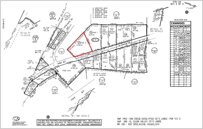
375-041-24
PAR 2 TR PM13685
Residentialacreage
SAN DIEGO
M58
California
AE The base floodplain where base flood elevations are provided. AE Zones are now used on new format FIRMs instead of A1-A30 Zones.
8 AC
2024
Outlying SD County S
2025
San Diego
016804
San Diego-Chula Vista-Carlsbad, CA
NEARBY LISTINGS FOR SALE OR LEASE
DEMOGRAPHICS near Highway 67
1 mile
3 mile
5 mile
2025 Total Population
668
11,228
74,651
2030 Population
662
11,169
74,493
Pop Growth 2025-2030
(0.90%)
(0.53%)
(0.21%)
Average Age
43
41
40
2025 Total Households
222
3,844
25,565
HH Growth 2025-2030
(1.35%)
(0.65%)
(0.34%)
Median Household Inc
$184,523
$119,330
$111,003
Avg Household Size
2.90
2.90
2.80
2025 Avg HH Vehicles
3.00
3.00
2.00
Median Home Value
$938,678
$785,250
$723,299
Median Year Built
1976
1977
1978
Nearby Places
Map Layers
Map Styles
 Street
 Aerial
Layers
 Traffic
 Biking
Places
Listings with unknown addresses are not visible on the map
- Restaurants
- Banks
- Shops
- Fitness
- Groceries
PUBLIC TRANSPORTATION
AIRPORT
San Diego International
Drive
Walk
Distance
San Diego International
35 min
25.8 mi
Freight Ports
Port of San Diego
Drive
Walk
Distance
Port of San Diego
34 min
24.6 mi
SALE & LEASE HISTORY
LISTING DATE
SALE/LEASE

Feb 15, 2024
For Sale
Nearby Properties
Address
Land Use
TOTAL SIZE
Lot Size
Zoning
Address
Land Use
TOTAL SIZE
Lot Size
Zoning
78,577 SF
14.03 AC
M54
Address
Land Use
TOTAL SIZE
Lot Size
Zoning
103.57 AC
M58
Address
Land Use
TOTAL SIZE
Lot Size
Zoning
80.56 AC
S88
Address
Land Use
TOTAL SIZE
Lot Size
Zoning
2,781 SF
8.10 AC
M58
Address
Land Use
TOTAL SIZE
Lot Size
Zoning
119.25 AC
A70
Address
Land Use
TOTAL SIZE
Lot Size
Zoning
41,310 SF
3.51 AC
M54
Address
Land Use
TOTAL SIZE
Lot Size
Zoning
64,572 SF
2.32 AC
RU
Address
Land Use
TOTAL SIZE
Lot Size
Zoning
44,144 SF
2.39 AC
RU
Address
Land Use
TOTAL SIZE
Lot Size
Zoning
4.80 AC
RU
Address
Land Use
TOTAL SIZE
Lot Size
Zoning
9,200 SF
4.30 AC
M58
Address
Land Use
TOTAL SIZE
Lot Size
Zoning
1,624 SF
4 AC
M58
Address
Land Use
TOTAL SIZE
Lot Size
Zoning
20,154 SF
0.90 AC
RU
Address
Land Use
TOTAL SIZE
Lot Size
Zoning
5.35 AC
M58
Address
Land Use
TOTAL SIZE
Lot Size
Zoning
34,000 SF
67.94 AC
A70
Address
Land Use
TOTAL SIZE
Lot Size
Zoning
10,000 SF
8.44 AC
M58
Address
Land Use
TOTAL SIZE
Lot Size
Zoning
13,264 SF
3.01 AC
S88
Address
Land Use
TOTAL SIZE
Lot Size
Zoning
17.70 AC
M58
Address
Land Use
TOTAL SIZE
Lot Size
Zoning
36,875 SF
2.90 AC
S88
Address
Land Use
TOTAL SIZE
Lot Size
Zoning
41,547 SF
2.13 AC
RR
Address
Land Use
TOTAL SIZE
Lot Size
Zoning
49,488 SF
4.20 AC
C36
Address
Land Use
TOTAL SIZE
Lot Size
Zoning
56,704 SF
2.50 AC
RU
Address
Land Use
TOTAL SIZE
Lot Size
Zoning
40.43 AC
M58
Address
Land Use
TOTAL SIZE
Lot Size
Zoning
40 AC
M58
Address
Land Use
TOTAL SIZE
Lot Size
Zoning
28,132 SF
1.22 AC
RU
Address
Land Use
TOTAL SIZE
Lot Size
Zoning
2.16 AC
RU
Address
Land Use
TOTAL SIZE
Lot Size
Zoning
13.89 AC
RMH9
Address
Land Use
TOTAL SIZE
Lot Size
Zoning
24,400 SF
0.84 AC
S88
Address
Land Use
TOTAL SIZE
Lot Size
Zoning
17,755 SF
1.39 AC
M58
Address
Land Use
TOTAL SIZE
Lot Size
Zoning
5,883 SF
2.37 AC
M58
The World's #1 Commercial Real Estate Marketplace
Connect with us
© 2026 CoStar Group
The information above has been obtained from sources believed reliable. While we do not doubt its accuracy we have not verified it and make no guarantee, warranty or representation about it. It is your responsibility to independently confirm its accuracy and completeness. Any projections, opinions, assumptions, or estimates used are for example only and do not represent the current or future performance of the property. The value of this transaction to you depends on tax and other factors which should be evaluated by your tax, financial, and legal advisors. You and your advisors should conduct a careful, independent investigation of the property to determine to your satisfaction the suitability of the property for your needs.