Property Record
Highway 71 N, , TX

Property Detail
Highway 71 N
Texarkana, TX-AR
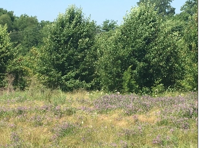
WM BURNSIDE A-47 LOT 14A 2021-13640 11/09/21 BLK/TRACT 14 5.158 ACRES
03200001400
BOWIE
Vacantlandnec
Texas
A Areas with a 1% annual chance of flooding and a 26% chance of flooding over the life of a 30-year mortgage.
14a
2024
5.16 AC
2025
Texas East Area
010901
Other Market Areas
NEARBY LISTINGS FOR SALE OR LEASE
-
-
View all listings for sale on LoopNet.com
DEMOGRAPHICS near Highway 71 N
1 mile
3 mile
5 mile
2024 Total Population
21
3,199
31,017
2029 Population
21
3,174
30,789
Pop Growth 2024-2029
0.00%
(0.78%)
(0.74%)
Average Age
40
45
41
2024 Total Households
8
1,260
12,918
HH Growth 2024-2029
(12.50%)
(0.79%)
(0.72%)
Median Household Inc
$74,999
$112,599
$57,846
Avg Household Size
2.70
2.40
2.30
2024 Avg HH Vehicles
2.00
2.00
2.00
Median Home Value
$325,000
$316,667
$172,724
Median Year Built
1984
1990
1983
Nearby Places
Map Layers
Map Styles
 Street
 Aerial
Transit
 Traffic
 Biking
Places
Listings with unknown addresses are not visible on the map
- Restaurants
- Banks
- Shops
- Fitness
- Groceries
SALE & LEASE HISTORY
LISTING DATE
SALE/LEASE

Jul 20, 2018
For Sale
Nearby Properties
Address
Land Use
TOTAL SIZE
Lot Size
Zoning
Address
Land Use
TOTAL SIZE
Lot Size
Zoning
41,627 SF
6.12 AC
Address
Land Use
TOTAL SIZE
Lot Size
Zoning
47,110 SF
5.33 AC
Address
Land Use
TOTAL SIZE
Lot Size
Zoning
37,930 SF
10.45 AC
Address
Land Use
TOTAL SIZE
Lot Size
Zoning
12,742 SF
2.18 AC
Address
Land Use
TOTAL SIZE
Lot Size
Zoning
94,554 SF
4.08 AC
Address
Land Use
TOTAL SIZE
Lot Size
Zoning
150,522 SF
38.85 AC
Address
Land Use
TOTAL SIZE
Lot Size
Zoning
24,000 SF
3.57 AC
Address
Land Use
TOTAL SIZE
Lot Size
Zoning
11,625 SF
8.75 AC
Address
Land Use
TOTAL SIZE
Lot Size
Zoning
8,075 SF
8.75 AC
Address
Land Use
TOTAL SIZE
Lot Size
Zoning
96,550 SF
3.38 AC
Address
Land Use
TOTAL SIZE
Lot Size
Zoning
28,014 SF
5.33 AC
Address
Land Use
TOTAL SIZE
Lot Size
Zoning
174,538 SF
17.82 AC
Address
Land Use
TOTAL SIZE
Lot Size
Zoning
31,444 SF
4.13 AC
Address
Land Use
TOTAL SIZE
Lot Size
Zoning
31,885 SF
3.82 AC
Address
Land Use
TOTAL SIZE
Lot Size
Zoning
14,792 SF
4.60 AC
Address
Land Use
TOTAL SIZE
Lot Size
Zoning
10.60 AC
Address
Land Use
TOTAL SIZE
Lot Size
Zoning
1,424 SF
30.61 AC
Address
Land Use
TOTAL SIZE
Lot Size
Zoning
22,000 SF
9.95 AC
Address
Land Use
TOTAL SIZE
Lot Size
Zoning
5,796 SF
1.22 AC
Address
Land Use
TOTAL SIZE
Lot Size
Zoning
53,351 SF
2.27 AC
Address
Land Use
TOTAL SIZE
Lot Size
Zoning
8,550 SF
0.80 AC
Address
Land Use
TOTAL SIZE
Lot Size
Zoning
29,837 SF
1.58 AC
Address
Land Use
TOTAL SIZE
Lot Size
Zoning
14,492 SF
5.10 AC
Address
Land Use
TOTAL SIZE
Lot Size
Zoning
43,476 SF
2.07 AC
Address
Land Use
TOTAL SIZE
Lot Size
Zoning
6,719 SF
0.58 AC
Address
Land Use
TOTAL SIZE
Lot Size
Zoning
4,212 SF
0.85 AC
Address
Land Use
TOTAL SIZE
Lot Size
Zoning
4,877 SF
0.65 AC
Address
Land Use
TOTAL SIZE
Lot Size
Zoning
5,288 SF
0.78 AC
Address
Land Use
TOTAL SIZE
Lot Size
Zoning
53,728 SF
1.93 AC
Address
Land Use
TOTAL SIZE
Lot Size
Zoning
6,000 SF
0.69 AC
The World's #1 Commercial Real Estate Marketplace
Connect with us
© 2026 CoStar Group
The information above has been obtained from sources believed reliable. While we do not doubt its accuracy we have not verified it and make no guarantee, warranty or representation about it. It is your responsibility to independently confirm its accuracy and completeness. Any projections, opinions, assumptions, or estimates used are for example only and do not represent the current or future performance of the property. The value of this transaction to you depends on tax and other factors which should be evaluated by your tax, financial, and legal advisors. You and your advisors should conduct a careful, independent investigation of the property to determine to your satisfaction the suitability of the property for your needs.