Property Record
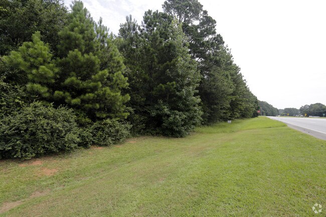
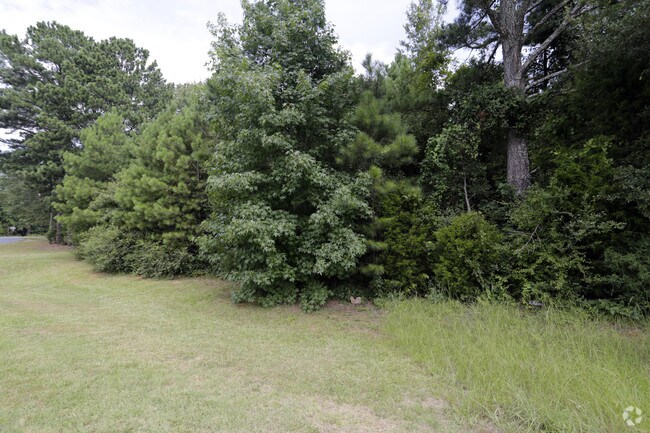
Highway 78, , GA

Save to a Folder
{{folder.Name}}
{{folder.ListingIds.length}} Properties
{{folder.ListingIds.length}} Property
Create a New Folder
Property Detail
Highway 78
C061000000122000
2.72AC
Residentialacreage
WALTON
A2
Georgia
B and X Area of moderate flood hazard, usually the area between the limits of the 100-year and 500-year floods.
2.72 AC
2025
Walton County
2025
Atlanta
110503
Atlanta-Sandy Springs-Roswell, GA
NEARBY LISTINGS FOR SALE OR LEASE
DEMOGRAPHICS near Highway 78
1 mile
3 mile
5 mile
2025 Total Population
1,497
13,726
43,266
2030 Population
1,666
15,301
48,162
Pop Growth 2025-2030
+ 11.29%
+ 11.47%
+ 11.32%
Average Age
41
41
40
2025 Total Households
502
4,666
14,593
HH Growth 2025-2030
+ 11.35%
+ 11.55%
+ 11.38%
Median Household Inc
$90,277
$94,107
$91,796
Avg Household Size
2.90
2.90
2.90
2025 Avg HH Vehicles
2.00
2.00
2.00
Median Home Value
$357,251
$350,258
$360,475
Median Year Built
1999
2000
1999
Nearby Places
Map Layers
Map Styles
 Street
 Aerial
Layers
 Traffic
 Biking
Places
Listings with unknown addresses are not visible on the map
- Restaurants
- Banks
- Shops
- Fitness
- Groceries
Nearby Properties
Address
Land Use
TOTAL SIZE
Lot Size
Zoning
Address
Land Use
TOTAL SIZE
Lot Size
Zoning
96,129 SF
32.74 AC
A1
Address
Land Use
TOTAL SIZE
Lot Size
Zoning
4,950 SF
6.96 AC
M1
Address
Land Use
TOTAL SIZE
Lot Size
Zoning
8,640 SF
53 AC
A1
Address
Land Use
TOTAL SIZE
Lot Size
Zoning
12,800 SF
7.36 AC
B3
Address
Land Use
TOTAL SIZE
Lot Size
Zoning
25,340 SF
7.59 AC
B1
Address
Land Use
TOTAL SIZE
Lot Size
Zoning
12,000 SF
3 AC
B2
Address
Land Use
TOTAL SIZE
Lot Size
Zoning
6,300 SF
1.64 AC
B2
Address
Land Use
TOTAL SIZE
Lot Size
Zoning
336.93 AC
A1 WP2
Address
Land Use
TOTAL SIZE
Lot Size
Zoning
188.42 AC
B2 R1
Address
Land Use
TOTAL SIZE
Lot Size
Zoning
4,336 SF
3.76 AC
M1
Address
Land Use
TOTAL SIZE
Lot Size
Zoning
10,903 SF
9.92 AC
A1
Address
Land Use
TOTAL SIZE
Lot Size
Zoning
16,450 SF
7.06 AC
B2
Address
Land Use
TOTAL SIZE
Lot Size
Zoning
5,000 SF
5.83 AC
B2
Address
Land Use
TOTAL SIZE
Lot Size
Zoning
25,300 SF
5.21 AC
B2
Address
Land Use
TOTAL SIZE
Lot Size
Zoning
18,180 SF
10 AC
A1
Address
Land Use
TOTAL SIZE
Lot Size
Zoning
160.43 AC
R1
Address
Land Use
TOTAL SIZE
Lot Size
Zoning
21,500 SF
2 AC
M1
Address
Land Use
TOTAL SIZE
Lot Size
Zoning
8,135 SF
16.22 AC
B2
Address
Land Use
TOTAL SIZE
Lot Size
Zoning
13,500 SF
2.99 AC
I1
Address
Land Use
TOTAL SIZE
Lot Size
Zoning
9,000 SF
3.69 AC
B3
Address
Land Use
TOTAL SIZE
Lot Size
Zoning
28.01 AC
B2 R1
Address
Land Use
TOTAL SIZE
Lot Size
Zoning
25,067 SF
4.07 AC
B2
Address
Land Use
TOTAL SIZE
Lot Size
Zoning
22.59 AC
B2
Address
Land Use
TOTAL SIZE
Lot Size
Zoning
12,000 SF
1.44 AC
M1
Address
Land Use
TOTAL SIZE
Lot Size
Zoning
52.14 AC
A1 WP2
Address
Land Use
TOTAL SIZE
Lot Size
Zoning
11,500 SF
4.40 AC
B2
Address
Land Use
TOTAL SIZE
Lot Size
Zoning
6,000 SF
1.36 AC
B3
Address
Land Use
TOTAL SIZE
Lot Size
Zoning
9,272 SF
3.70 AC
B2
Address
Land Use
TOTAL SIZE
Lot Size
Zoning
21.97 AC
B2
Address
Land Use
TOTAL SIZE
Lot Size
Zoning
14,000 SF
4.63 AC
B2
The World's #1 Commercial Real Estate Marketplace
Connect with us
© 2026 CoStar Group
The information above has been obtained from sources believed reliable. While we do not doubt its accuracy we have not verified it and make no guarantee, warranty or representation about it. It is your responsibility to independently confirm its accuracy and completeness. Any projections, opinions, assumptions, or estimates used are for example only and do not represent the current or future performance of the property. The value of this transaction to you depends on tax and other factors which should be evaluated by your tax, financial, and legal advisors. You and your advisors should conduct a careful, independent investigation of the property to determine to your satisfaction the suitability of the property for your needs.