Property Record
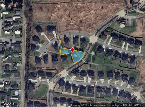
Horizon Dr, Blaine, WA 98230
NEARBY LISTINGS FOR SALE OR LEASE
-
-
View all Blaine listings for sale on LoopNet.com
Property Detail
Horizon Dr
Other Market Areas
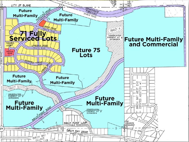
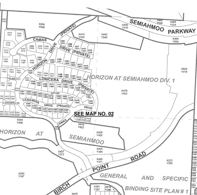
Horizon At Semiahmoo Div 1
Bellingham, WA
Whatcom
405123-352507-0000
Washington
Notresolvable
0.49 AC
X
Bellingham/Northwest
53073C0634F
DEMOGRAPHICS near Horizon Dr
1 Mile
3 Mile
5 Mile
2024 Total Population
1,129
9,280
19,505
2029 Population
1,220
9,937
20,897
Pop Growth 2024-2029
+ 8.06%
+ 7.08%
+ 7.14%
Average Age
54
48
45
2024 Total Households
516
4,055
8,233
HH Growth 2024-2029
+ 7.95%
+ 7.20%
+ 7.36%
Median Household Inc
$78,017
$79,533
$75,515
Avg Household Size
2.20
2.30
2.30
2024 Avg HH Vehicles
2.00
2.00
2.00
Median Home Value
$710,045
$481,546
$462,993
Median Year Built
1999
1992
1993
Nearby Places
Map Layers
Map Styles
 Street
 Aerial
- Restaurants
- Banks
- Shops
- Fitness
- Groceries
PUBLIC TRANSPORTATION
AIRPORT
Bellingham International
DRIVE
WALK
Distance
Bellingham International
30 min
20.1 mi
Abbotsford International
DRIVE
WALK
Distance
Abbotsford International
53 min
28.5 mi
Vancouver International
DRIVE
WALK
Distance
Vancouver International
63 min
34.8 mi
Freight Ports
Port of Bellingham, WA
DRIVE
WALK
Distance
Port of Bellingham, WA
34 min
23.1 mi
SALE & LEASE HISTORY
LISTING DATE
SALE/LEASE

Feb 13, 2021
For Sale
Nearby Properties
Address
Land Use
TOTAL SIZE
Lot Size
Zoning
Address
Land Use
TOTAL SIZE
Lot Size
Zoning
212,347 SF
6.09 AC
MPR
Address
Land Use
TOTAL SIZE
Lot Size
Zoning
15,029 SF
81.12 AC
RC
Address
Land Use
TOTAL SIZE
Lot Size
Zoning
5,952 SF
17.92 AC
RPR
Address
Land Use
TOTAL SIZE
Lot Size
Zoning
14,910 SF
21.98 AC
RC
Address
Land Use
TOTAL SIZE
Lot Size
Zoning
48,610 SF
161.69 AC
RPR
Address
Land Use
TOTAL SIZE
Lot Size
Zoning
43,200 SF
9.22 AC
GC
Address
Land Use
TOTAL SIZE
Lot Size
Zoning
40,960 SF
57.29 AC
R10A
Address
Land Use
TOTAL SIZE
Lot Size
Zoning
25,570 SF
0.74 AC
HCAB
Address
Land Use
TOTAL SIZE
Lot Size
Zoning
22,068 SF
0.94 AC
RO
Address
Land Use
TOTAL SIZE
Lot Size
Zoning
30,510 SF
8.19 AC
GC
Address
Land Use
TOTAL SIZE
Lot Size
Zoning
3,715 SF
0.15 AC
RPR
Address
Land Use
TOTAL SIZE
Lot Size
Zoning
7,236 SF
30.59 AC
NC
Address
Land Use
TOTAL SIZE
Lot Size
Zoning
6,933 SF
4.42 AC
GC
Address
Land Use
TOTAL SIZE
Lot Size
Zoning
16.17 AC
C
Address
Land Use
TOTAL SIZE
Lot Size
Zoning
4.11 AC
RC
Address
Land Use
TOTAL SIZE
Lot Size
Zoning
6,549 SF
5.01 AC
RC
Address
Land Use
TOTAL SIZE
Lot Size
Zoning
2,765 SF
7.86 AC
RC
Address
Land Use
TOTAL SIZE
Lot Size
Zoning
24,182 SF
0.72 AC
RO32
Address
Land Use
TOTAL SIZE
Lot Size
Zoning
21,742 SF
4.15 AC
GC
Address
Land Use
TOTAL SIZE
Lot Size
Zoning
2,339 SF
0.93 AC
RC
Address
Land Use
TOTAL SIZE
Lot Size
Zoning
3.27 AC
MPR
Address
Land Use
TOTAL SIZE
Lot Size
Zoning
12,691 SF
2 AC
GC
Address
Land Use
TOTAL SIZE
Lot Size
Zoning
10,338 SF
1.36 AC
RC
Address
Land Use
TOTAL SIZE
Lot Size
Zoning
40 AC
R5A
Address
Land Use
TOTAL SIZE
Lot Size
Zoning
3,704 SF
0.11 AC
RC
Address
Land Use
TOTAL SIZE
Lot Size
Zoning
6,398 SF
2.63 AC
MPR
Address
Land Use
TOTAL SIZE
Lot Size
Zoning
2,400 SF
19.67 AC
R5A
Address
Land Use
TOTAL SIZE
Lot Size
Zoning
6,617 SF
0.99 AC
RPR
Address
Land Use
TOTAL SIZE
Lot Size
Zoning
13,104 SF
5.61 AC
R5A
The World's #1 Commercial Real Estate Marketplace
Connect with us
© 2025 CoStar Group
The information above has been obtained from sources believed reliable. While we do not doubt its accuracy we have not verified it and make no guarantee, warranty or representation about it. It is your responsibility to independently confirm its accuracy and completeness. Any projections, opinions, assumptions, or estimates used are for example only and do not represent the current or future performance of the property. The value of this transaction to you depends on tax and other factors which should be evaluated by your tax, financial, and legal advisors. You and your advisors should conduct a careful, independent investigation of the property to determine to your satisfaction the suitability of the property for your needs.