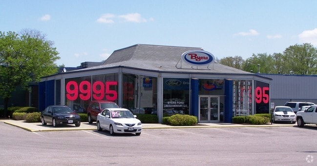
Property Record
Hull Dr, Delaware, OH 43015


Property Detail
Hull Dr
Columbus, OH
LANDS 19 4 1 15
419-130-04-008-001
DELAWARE
Commercialacreage
Ohio
B and X Area of moderate flood hazard, usually the area between the limits of the 100-year and 500-year floods.
15
2025
1.37 AC
2025
Outlying Delaware County
010530
Columbus
NEARBY LISTINGS FOR SALE OR LEASE
DEMOGRAPHICS near Hull Dr
1 mile
3 mile
5 mile
2025 Total Population
6,579
36,234
66,728
2030 Population
7,199
39,615
73,621
Pop Growth 2025-2030
+ 9.42%
+ 9.33%
+ 10.33%
Average Age
42
39
39
2025 Total Households
2,760
13,797
24,807
HH Growth 2025-2030
+ 9.60%
+ 9.43%
+ 10.32%
Median Household Inc
$84,562
$89,705
$100,373
Avg Household Size
2.30
2.50
2.60
2025 Avg HH Vehicles
2.00
2.00
2.00
Median Home Value
$321,689
$331,081
$375,168
Median Year Built
1993
1993
1997
Nearby Places
Map Layers
Map Styles
 Street
 Aerial
Layers
 Traffic
 Biking
Places
Listings with unknown addresses are not visible on the map
- Restaurants
- Banks
- Shops
- Fitness
- Groceries
PUBLIC TRANSPORTATION
AIRPORT
John Glenn Columbus International
Drive
Walk
Distance
John Glenn Columbus International
39 min
26.7 mi
Freight Ports
Port of Toledo
Drive
Walk
Distance
Port of Toledo
149 min
121.9 mi
Nearby Properties
Address
Land Use
TOTAL SIZE
Lot Size
Zoning
Address
Land Use
TOTAL SIZE
Lot Size
Zoning
349,949 SF
22.53 AC
Address
Land Use
TOTAL SIZE
Lot Size
Zoning
4,324 SF
23.28 AC
Address
Land Use
TOTAL SIZE
Lot Size
Zoning
202,185 SF
7.97 AC
Address
Land Use
TOTAL SIZE
Lot Size
Zoning
376,140 SF
28.71 AC
Address
Land Use
TOTAL SIZE
Lot Size
Zoning
421,200 SF
33.08 AC
Address
Land Use
TOTAL SIZE
Lot Size
Zoning
154,070 SF
29.10 AC
Address
Land Use
TOTAL SIZE
Lot Size
Zoning
5.93 AC
Address
Land Use
TOTAL SIZE
Lot Size
Zoning
941,795 SF
162.29 AC
Address
Land Use
TOTAL SIZE
Lot Size
Zoning
234,776 SF
15.94 AC
Address
Land Use
TOTAL SIZE
Lot Size
Zoning
271,443 SF
15.63 AC
Address
Land Use
TOTAL SIZE
Lot Size
Zoning
78,668 SF
9.73 AC
Address
Land Use
TOTAL SIZE
Lot Size
Zoning
113,813 SF
1.99 AC
Address
Land Use
TOTAL SIZE
Lot Size
Zoning
135,780 SF
17.32 AC
Address
Land Use
TOTAL SIZE
Lot Size
Zoning
110,793 SF
54.70 AC
Address
Land Use
TOTAL SIZE
Lot Size
Zoning
79,389 SF
15.51 AC
Address
Land Use
TOTAL SIZE
Lot Size
Zoning
202,800 SF
14.03 AC
Address
Land Use
TOTAL SIZE
Lot Size
Zoning
67,833 SF
102.26 AC
Address
Land Use
TOTAL SIZE
Lot Size
Zoning
39,600 SF
15.70 AC
Address
Land Use
TOTAL SIZE
Lot Size
Zoning
162,878 SF
3.18 AC
Address
Land Use
TOTAL SIZE
Lot Size
Zoning
75,278 SF
2.34 AC
Address
Land Use
TOTAL SIZE
Lot Size
Zoning
362,100 SF
26 AC
Address
Land Use
TOTAL SIZE
Lot Size
Zoning
41,368 SF
22 AC
Address
Land Use
TOTAL SIZE
Lot Size
Zoning
110,664 SF
13.84 AC
Address
Land Use
TOTAL SIZE
Lot Size
Zoning
52,848 SF
10.63 AC
Address
Land Use
TOTAL SIZE
Lot Size
Zoning
159,435 SF
20 AC
Address
Land Use
TOTAL SIZE
Lot Size
Zoning
147,000 SF
9.05 AC
Address
Land Use
TOTAL SIZE
Lot Size
Zoning
147,000 SF
8.53 AC
Address
Land Use
TOTAL SIZE
Lot Size
Zoning
47,615 SF
Address
Land Use
TOTAL SIZE
Lot Size
Zoning
88,191 SF
34.68 AC
Address
Land Use
TOTAL SIZE
Lot Size
Zoning
51,288 SF
1.19 AC
The World's #1 Commercial Real Estate Marketplace
Connect with us
© 2026 CoStar Group
The information above has been obtained from sources believed reliable. While we do not doubt its accuracy we have not verified it and make no guarantee, warranty or representation about it. It is your responsibility to independently confirm its accuracy and completeness. Any projections, opinions, assumptions, or estimates used are for example only and do not represent the current or future performance of the property. The value of this transaction to you depends on tax and other factors which should be evaluated by your tax, financial, and legal advisors. You and your advisors should conduct a careful, independent investigation of the property to determine to your satisfaction the suitability of the property for your needs.