Property Record
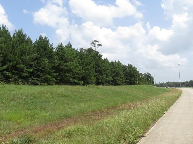
Highway 59, Shepherd, TX 77371


Property Detail
Highway 59
Houston-Pasadena-The Woodlands, TX
A084 SOLOMON COLE, TRACT 3 & 66, ACRES 24.3793
45487
SAN JACINTO
Commercialnec
Texas
B and X Area of moderate flood hazard, usually the area between the limits of the 100-year and 500-year floods.
24.38 AC
2024
San Jacinto County
2025
Houston
200104
NEARBY LISTINGS FOR SALE OR LEASE
DEMOGRAPHICS near Highway 59
1 mile
3 mile
5 mile
2025 Total Population
1,262
4,694
6,615
2030 Population
1,333
4,946
7,007
Pop Growth 2025-2030
+ 5.63%
+ 5.37%
+ 5.93%
Average Age
38
38
38
2025 Total Households
443
1,630
2,301
HH Growth 2025-2030
+ 5.19%
+ 5.03%
+ 5.69%
Median Household Inc
$49,499
$73,470
$79,320
Avg Household Size
2.90
2.90
2.80
2025 Avg HH Vehicles
2.00
2.00
2.00
Median Home Value
$127,778
$158,208
$160,211
Median Year Built
1990
1992
1992
Nearby Places
Map Layers
Map Styles
 Street
 Aerial
Layers
 Traffic
 Biking
Places
Listings with unknown addresses are not visible on the map
- Restaurants
- Banks
- Shops
- Fitness
- Groceries
SALE & LEASE HISTORY
LISTING DATE
SALE/LEASE

Oct 30, 2019
For Sale
Feb 02, 2021
For Sale
Nearby Properties
Address
Land Use
TOTAL SIZE
Lot Size
Zoning
Address
Land Use
TOTAL SIZE
Lot Size
Zoning
128,569 SF
27.47 AC
Address
Land Use
TOTAL SIZE
Lot Size
Zoning
132,704 SF
18.73 AC
Address
Land Use
TOTAL SIZE
Lot Size
Zoning
75,786 SF
11.40 AC
Address
Land Use
TOTAL SIZE
Lot Size
Zoning
15,863 SF
30.08 AC
Address
Land Use
TOTAL SIZE
Lot Size
Zoning
77,141 SF
7.07 AC
Address
Land Use
TOTAL SIZE
Lot Size
Zoning
15,442 SF
0.93 AC
Address
Land Use
TOTAL SIZE
Lot Size
Zoning
23,748 SF
0.61 AC
Address
Land Use
TOTAL SIZE
Lot Size
Zoning
22,992 SF
2.07 AC
Address
Land Use
TOTAL SIZE
Lot Size
Zoning
46,800 SF
10 AC
Address
Land Use
TOTAL SIZE
Lot Size
Zoning
28,656 SF
15.71 AC
Address
Land Use
TOTAL SIZE
Lot Size
Zoning
8,325 SF
2.11 AC
Address
Land Use
TOTAL SIZE
Lot Size
Zoning
40,656 SF
3.81 AC
Address
Land Use
TOTAL SIZE
Lot Size
Zoning
12,746 SF
1.35 AC
Address
Land Use
TOTAL SIZE
Lot Size
Zoning
6,342 SF
130.71 AC
Address
Land Use
TOTAL SIZE
Lot Size
Zoning
18,644 SF
1.15 AC
Address
Land Use
TOTAL SIZE
Lot Size
Zoning
13,108 SF
6.50 AC
Address
Land Use
TOTAL SIZE
Lot Size
Zoning
12,482 SF
9.94 AC
Address
Land Use
TOTAL SIZE
Lot Size
Zoning
8,445 SF
1.61 AC
Address
Land Use
TOTAL SIZE
Lot Size
Zoning
9,388 SF
8 AC
Address
Land Use
TOTAL SIZE
Lot Size
Zoning
38,693 SF
4.50 AC
Address
Land Use
TOTAL SIZE
Lot Size
Zoning
6,900 SF
15.75 AC
Address
Land Use
TOTAL SIZE
Lot Size
Zoning
3,500 SF
1.33 AC
Address
Land Use
TOTAL SIZE
Lot Size
Zoning
8,691 SF
1.30 AC
Address
Land Use
TOTAL SIZE
Lot Size
Zoning
6,018 SF
3.16 AC
Address
Land Use
TOTAL SIZE
Lot Size
Zoning
4,059 SF
25.35 AC
Address
Land Use
TOTAL SIZE
Lot Size
Zoning
6,600 SF
1.72 AC
Address
Land Use
TOTAL SIZE
Lot Size
Zoning
5,420 SF
15 AC
Address
Land Use
TOTAL SIZE
Lot Size
Zoning
576 SF
182.90 AC
Address
Land Use
TOTAL SIZE
Lot Size
Zoning
70.25 AC
Address
Land Use
TOTAL SIZE
Lot Size
Zoning
4,429 SF
27.63 AC
The World's #1 Commercial Real Estate Marketplace
Connect with us
© 2026 CoStar Group
The information above has been obtained from sources believed reliable. While we do not doubt its accuracy we have not verified it and make no guarantee, warranty or representation about it. It is your responsibility to independently confirm its accuracy and completeness. Any projections, opinions, assumptions, or estimates used are for example only and do not represent the current or future performance of the property. The value of this transaction to you depends on tax and other factors which should be evaluated by your tax, financial, and legal advisors. You and your advisors should conduct a careful, independent investigation of the property to determine to your satisfaction the suitability of the property for your needs.