Property Record
0 Interstate 10 Hwy, Baytown, TX 77521
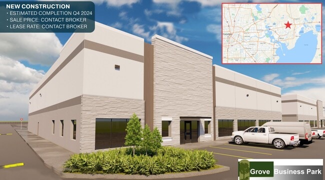

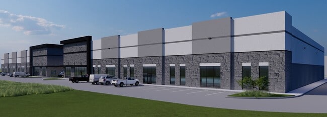
This Property Is For Sale
NEARBY LISTINGS FOR SALE OR LEASE
Property Detail
0 Interstate 10 Hwy
Houston-The Woodlands-Sugar Land, TX
Abst 954 A Smith
0460540000110
TR 1R ABST 954 A SMITH
Commercialacreage
Harris
X
Texas
48201C0765M
11.49 AC
2023
East-Southeast Far
2025
Houston
253202
DEMOGRAPHICS near 0 Interstate 10 Hwy
1 Mile
3 Mile
5 Mile
2024 Total Population
928
32,854
93,054
2029 Population
967
35,751
99,039
Pop Growth 2024-2029
+ 4.20%
+ 8.82%
+ 6.43%
Average Age
36
35
35
2024 Total Households
334
10,636
31,906
HH Growth 2024-2029
+ 4.19%
+ 8.85%
+ 6.10%
Median Household Inc
$67,607
$85,335
$65,475
Avg Household Size
2.70
3.10
2.90
2024 Avg HH Vehicles
2.00
2.00
2.00
Median Home Value
$278,703
$221,336
$191,590
Median Year Built
1994
2002
1994
Nearby Places
Map Layers
Map Styles
 Street
 Aerial
- Restaurants
- Banks
- Shops
- Fitness
- Groceries
PUBLIC TRANSPORTATION
AIRPORT
William P Hobby
DRIVE
WALK
Distance
William P Hobby
48 min
32.5 mi
George Bush Intcntl/Houston
DRIVE
WALK
Distance
George Bush Intcntl/Houston
45 min
36.7 mi
Freight Ports
Port of Houston
DRIVE
WALK
Distance
Port of Houston
34 min
24.5 mi
Nearby Properties
Address
Land Use
TOTAL SIZE
Lot Size
Zoning
Address
Land Use
TOTAL SIZE
Lot Size
Zoning
0.58 AC
Address
Land Use
TOTAL SIZE
Lot Size
Zoning
63,224 SF
738.31 AC
Address
Land Use
TOTAL SIZE
Lot Size
Zoning
738.47 AC
Address
Land Use
TOTAL SIZE
Lot Size
Zoning
463.62 AC
Address
Land Use
TOTAL SIZE
Lot Size
Zoning
738.31 AC
Address
Land Use
TOTAL SIZE
Lot Size
Zoning
Address
Land Use
TOTAL SIZE
Lot Size
Zoning
Address
Land Use
TOTAL SIZE
Lot Size
Zoning
738.47 AC
Address
Land Use
TOTAL SIZE
Lot Size
Zoning
383,631 SF
22.45 AC
Address
Land Use
TOTAL SIZE
Lot Size
Zoning
504,680 SF
29.61 AC
Address
Land Use
TOTAL SIZE
Lot Size
Zoning
291,462 SF
13.43 AC
Address
Land Use
TOTAL SIZE
Lot Size
Zoning
352,067 SF
19.78 AC
Address
Land Use
TOTAL SIZE
Lot Size
Zoning
284,794 SF
10.18 AC
Address
Land Use
TOTAL SIZE
Lot Size
Zoning
251,498 SF
16.36 AC
Address
Land Use
TOTAL SIZE
Lot Size
Zoning
103.45 AC
Address
Land Use
TOTAL SIZE
Lot Size
Zoning
59.21 AC
Address
Land Use
TOTAL SIZE
Lot Size
Zoning
122,554 SF
12.85 AC
Address
Land Use
TOTAL SIZE
Lot Size
Zoning
738.47 AC
Address
Land Use
TOTAL SIZE
Lot Size
Zoning
103,107 SF
15.56 AC
Address
Land Use
TOTAL SIZE
Lot Size
Zoning
221,571 SF
21.28 AC
Address
Land Use
TOTAL SIZE
Lot Size
Zoning
69,976 SF
7.37 AC
Address
Land Use
TOTAL SIZE
Lot Size
Zoning
43,228 SF
6.88 AC
Address
Land Use
TOTAL SIZE
Lot Size
Zoning
187,383 SF
18.95 AC
Address
Land Use
TOTAL SIZE
Lot Size
Zoning
138,240 SF
2.95 AC
Address
Land Use
TOTAL SIZE
Lot Size
Zoning
94,350 SF
8 AC
Address
Land Use
TOTAL SIZE
Lot Size
Zoning
224,472 SF
12 AC
Address
Land Use
TOTAL SIZE
Lot Size
Zoning
83,772 SF
8.09 AC
Address
Land Use
TOTAL SIZE
Lot Size
Zoning
39,869 SF
7.97 AC
Address
Land Use
TOTAL SIZE
Lot Size
Zoning
44,652 SF
12.33 AC
Address
Land Use
TOTAL SIZE
Lot Size
Zoning
79,777 SF
3.96 AC
The World's #1 Commercial Real Estate Marketplace
Connect with us
© 2026 CoStar Group
The information above has been obtained from sources believed reliable. While we do not doubt its accuracy we have not verified it and make no guarantee, warranty or representation about it. It is your responsibility to independently confirm its accuracy and completeness. Any projections, opinions, assumptions, or estimates used are for example only and do not represent the current or future performance of the property. The value of this transaction to you depends on tax and other factors which should be evaluated by your tax, financial, and legal advisors. You and your advisors should conduct a careful, independent investigation of the property to determine to your satisfaction the suitability of the property for your needs.