Property Record
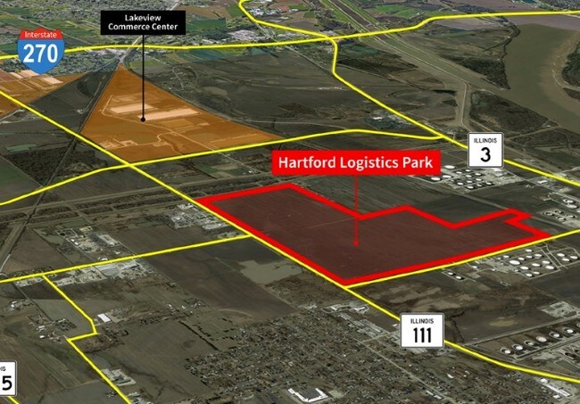
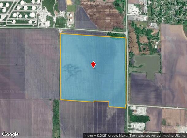
State Route 111, Hartford, IL 62048
NEARBY LISTINGS FOR SALE OR LEASE
Property Detail
State Route 111
St. Louis, MO-IL
NW 1/4 EXC THAT PT TO STATE OF ILL
18-1-14-11-00-000-004
Madison
Agriculturalland
Illinois
2024
159.24 AC
2024
Illinois
404100
St. Louis
DEMOGRAPHICS near State Route 111
1 Mile
3 Mile
5 Mile
2024 Total Population
514
8,107
31,917
2029 Population
517
8,047
31,602
Pop Growth 2024-2029
+ 0.58%
(0.74%)
(0.99%)
Average Age
38
40
40
2024 Total Households
196
3,370
12,787
HH Growth 2024-2029
+ 0.51%
(0.86%)
(1.09%)
Median Household Inc
$42,666
$53,277
$60,118
Avg Household Size
2.60
2.40
2.30
2024 Avg HH Vehicles
2.00
2.00
2.00
Median Home Value
$77,142
$93,349
$107,413
Median Year Built
1977
1957
1959
Nearby Places
Map Layers
Map Styles
 Street
 Aerial
- Restaurants
- Banks
- Shops
- Fitness
- Groceries
PUBLIC TRANSPORTATION
AIRPORT
St Louis Lambert International
DRIVE
WALK
Distance
St Louis Lambert International
30 min
20.7 mi
Scott AFB/Midamerica St Louis
DRIVE
WALK
Distance
Scott AFB/Midamerica St Louis
50 min
34.2 mi
Freight Ports
Port Milwaukee
DRIVE
WALK
Distance
Port Milwaukee
410 min
358.3 mi
SALE & LEASE HISTORY
LISTING DATE
SALE/LEASE

Sep 24, 2016
For Sale
Feb 26, 2019
For Sale
Nearby Properties
Address
Land Use
TOTAL SIZE
Lot Size
Zoning
Address
Land Use
TOTAL SIZE
Lot Size
Zoning
610.24 AC
Address
Land Use
TOTAL SIZE
Lot Size
Zoning
24,564 SF
90.20 AC
Address
Land Use
TOTAL SIZE
Lot Size
Zoning
Address
Land Use
TOTAL SIZE
Lot Size
Zoning
7,076 SF
55.77 AC
Address
Land Use
TOTAL SIZE
Lot Size
Zoning
19.26 AC
Address
Land Use
TOTAL SIZE
Lot Size
Zoning
Address
Land Use
TOTAL SIZE
Lot Size
Zoning
652,425 SF
51.21 AC
Address
Land Use
TOTAL SIZE
Lot Size
Zoning
Address
Land Use
TOTAL SIZE
Lot Size
Zoning
73.24 AC
Address
Land Use
TOTAL SIZE
Lot Size
Zoning
476.79 AC
Address
Land Use
TOTAL SIZE
Lot Size
Zoning
374,400 SF
83.25 AC
Address
Land Use
TOTAL SIZE
Lot Size
Zoning
532,080 SF
32.38 AC
Address
Land Use
TOTAL SIZE
Lot Size
Zoning
422,826 SF
26.15 AC
Address
Land Use
TOTAL SIZE
Lot Size
Zoning
404,739 SF
39.87 AC
Address
Land Use
TOTAL SIZE
Lot Size
Zoning
50.23 AC
Address
Land Use
TOTAL SIZE
Lot Size
Zoning
345,948 SF
32.94 AC
Address
Land Use
TOTAL SIZE
Lot Size
Zoning
59.04 AC
Address
Land Use
TOTAL SIZE
Lot Size
Zoning
272,420 SF
18.40 AC
Address
Land Use
TOTAL SIZE
Lot Size
Zoning
199.57 AC
Address
Land Use
TOTAL SIZE
Lot Size
Zoning
209,100 SF
25.87 AC
Address
Land Use
TOTAL SIZE
Lot Size
Zoning
42,904 SF
9.69 AC
Address
Land Use
TOTAL SIZE
Lot Size
Zoning
63.13 AC
Address
Land Use
TOTAL SIZE
Lot Size
Zoning
4,000 SF
23.25 AC
Address
Land Use
TOTAL SIZE
Lot Size
Zoning
242.45 AC
Address
Land Use
TOTAL SIZE
Lot Size
Zoning
6,240 SF
12.32 AC
Address
Land Use
TOTAL SIZE
Lot Size
Zoning
455.04 AC
Address
Land Use
TOTAL SIZE
Lot Size
Zoning
46,642 SF
10.50 AC
Address
Land Use
TOTAL SIZE
Lot Size
Zoning
101,185 SF
4.15 AC
Address
Land Use
TOTAL SIZE
Lot Size
Zoning
23,636 SF
24.36 AC
Address
Land Use
TOTAL SIZE
Lot Size
Zoning
22,902 SF
408.34 AC
The World's #1 Commercial Real Estate Marketplace
Connect with us
© 2025 CoStar Group
The information above has been obtained from sources believed reliable. While we do not doubt its accuracy we have not verified it and make no guarantee, warranty or representation about it. It is your responsibility to independently confirm its accuracy and completeness. Any projections, opinions, assumptions, or estimates used are for example only and do not represent the current or future performance of the property. The value of this transaction to you depends on tax and other factors which should be evaluated by your tax, financial, and legal advisors. You and your advisors should conduct a careful, independent investigation of the property to determine to your satisfaction the suitability of the property for your needs.