Property Record
I-65 Access Rd E, Millbrook, AL 36054
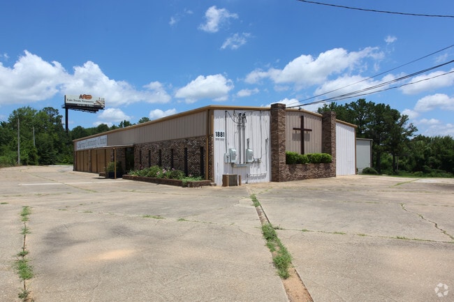


Property Detail
I-65 Access Rd E
26-04-17-0-001-010001-0
2.5 AC(C): BEG NE COR SEC 17 T17 R17; TH W 1920.89'; S 128.4' TH S R/W COBBS FORD RD; W 638.42' TO E R/W I-65; S'LY ALONG R/W
Autorepair
ELMORE
B and X Area of moderate flood hazard, usually the area between the limits of the 100-year and 500-year floods.
Alabama
2025
2.50 AC
2025
Prattville/Millbrook
031001
Montgomery
6,500 SF
Montgomery, AL
NEARBY LISTINGS FOR SALE OR LEASE
-
-
View all Millbrook listings for sale on LoopNet.com
DEMOGRAPHICS near I-65 Access Rd E
1 mile
3 mile
5 mile
2025 Total Population
630
19,056
45,582
2030 Population
631
19,553
46,699
Pop Growth 2025-2030
+ 0.16%
+ 2.61%
+ 2.45%
Average Age
40
38
39
2025 Total Households
262
7,785
17,944
HH Growth 2025-2030
+ 0.38%
+ 2.57%
+ 2.39%
Median Household Inc
$79,643
$74,741
$70,668
Avg Household Size
2.30
2.40
2.50
2025 Avg HH Vehicles
2.00
2.00
2.00
Median Home Value
$207,895
$208,473
$198,764
Median Year Built
1986
1997
1993
Nearby Places
Map Layers
Map Styles
 Street
 Aerial
Layers
 Traffic
 Biking
Places
Listings with unknown addresses are not visible on the map
- Restaurants
- Banks
- Shops
- Fitness
- Groceries
PUBLIC TRANSPORTATION
AIRPORT
Montgomery Regional (Dannelly Field)
Drive
Walk
Distance
Montgomery Regional (Dannelly Field)
21 min
16.1 mi
Freight Ports
Port of Mobile
Drive
Walk
Distance
Port of Mobile
192 min
175.2 mi
SALE & LEASE HISTORY
LISTING DATE
SALE/LEASE

Sep 24, 2016
For Sale
Jan 25, 2023
For Sale
Jan 25, 2023
For Lease
Apr 12, 2017
For Sale
Nearby Properties
Address
Land Use
TOTAL SIZE
Lot Size
Zoning
Address
Land Use
TOTAL SIZE
Lot Size
Zoning
22,743 SF
20 AC
Address
Land Use
TOTAL SIZE
Lot Size
Zoning
22,194 SF
17.30 AC
Address
Land Use
TOTAL SIZE
Lot Size
Zoning
53,641 SF
47.75 AC
Address
Land Use
TOTAL SIZE
Lot Size
Zoning
40,962 SF
122.97 AC
Address
Land Use
TOTAL SIZE
Lot Size
Zoning
3,852 SF
24 AC
Address
Land Use
TOTAL SIZE
Lot Size
Zoning
136,080 SF
26.42 AC
Address
Land Use
TOTAL SIZE
Lot Size
Zoning
3,254 SF
15.24 AC
Address
Land Use
TOTAL SIZE
Lot Size
Zoning
24,160 SF
10.45 AC
Address
Land Use
TOTAL SIZE
Lot Size
Zoning
9,976 SF
8.26 AC
Address
Land Use
TOTAL SIZE
Lot Size
Zoning
7,032 SF
8.52 AC
Address
Land Use
TOTAL SIZE
Lot Size
Zoning
9,176 SF
11.39 AC
Address
Land Use
TOTAL SIZE
Lot Size
Zoning
217,253 SF
29.84 AC
Address
Land Use
TOTAL SIZE
Lot Size
Zoning
18,592 SF
5 AC
Address
Land Use
TOTAL SIZE
Lot Size
Zoning
199,677 SF
22.90 AC
Address
Land Use
TOTAL SIZE
Lot Size
Zoning
128,384 SF
9.07 AC
Address
Land Use
TOTAL SIZE
Lot Size
Zoning
56,588 SF
22.74 AC
Address
Land Use
TOTAL SIZE
Lot Size
Zoning
136,297 SF
16.32 AC
Address
Land Use
TOTAL SIZE
Lot Size
Zoning
57,954 SF
8.15 AC
Address
Land Use
TOTAL SIZE
Lot Size
Zoning
75,571 SF
17.63 AC
Address
Land Use
TOTAL SIZE
Lot Size
Zoning
12,960 SF
13 AC
Address
Land Use
TOTAL SIZE
Lot Size
Zoning
56,900 SF
2.20 AC
Address
Land Use
TOTAL SIZE
Lot Size
Zoning
60,727 SF
2.41 AC
Address
Land Use
TOTAL SIZE
Lot Size
Zoning
31.40 AC
Address
Land Use
TOTAL SIZE
Lot Size
Zoning
90,997 SF
24.80 AC
Address
Land Use
TOTAL SIZE
Lot Size
Zoning
29,094 SF
14.90 AC
Address
Land Use
TOTAL SIZE
Lot Size
Zoning
44,892 SF
2.18 AC
Address
Land Use
TOTAL SIZE
Lot Size
Zoning
104,965 SF
10.13 AC
Address
Land Use
TOTAL SIZE
Lot Size
Zoning
38,672 SF
1.66 AC
Address
Land Use
TOTAL SIZE
Lot Size
Zoning
57,782 SF
3.30 AC
Address
Land Use
TOTAL SIZE
Lot Size
Zoning
18,384 SF
2.40 AC
The World's #1 Commercial Real Estate Marketplace
Connect with us
© 2026 CoStar Group
The information above has been obtained from sources believed reliable. While we do not doubt its accuracy we have not verified it and make no guarantee, warranty or representation about it. It is your responsibility to independently confirm its accuracy and completeness. Any projections, opinions, assumptions, or estimates used are for example only and do not represent the current or future performance of the property. The value of this transaction to you depends on tax and other factors which should be evaluated by your tax, financial, and legal advisors. You and your advisors should conduct a careful, independent investigation of the property to determine to your satisfaction the suitability of the property for your needs.