Property Record
I 69, Pendleton, IN 46064
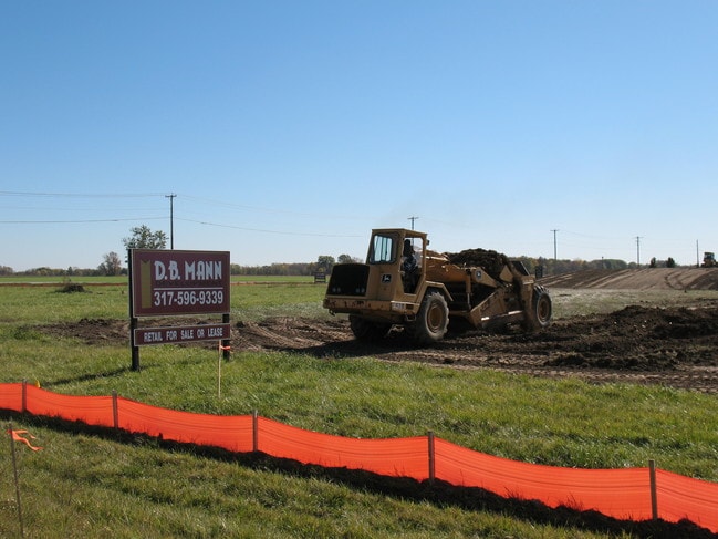


Property Detail
I 69
Indianapolis-Carmel-Greenwood, IN
I-69 ROW 0.0000ACRES STR: 22186 SECTION: PLAT: IN: OUT:
48-15-22-900-001.000-015
MADISON
Stateproperty
Indiana
B and X Area of moderate flood hazard, usually the area between the limits of the 100-year and 500-year floods.
42.56 AC
0
Anderson/Madison Cnty
2025
Indianapolis
011501
NEARBY LISTINGS FOR SALE OR LEASE
DEMOGRAPHICS near I 69
1 mile
3 mile
5 mile
2025 Total Population
1,987
11,080
46,251
2030 Population
2,119
11,861
49,505
Pop Growth 2025-2030
+ 6.64%
+ 7.05%
+ 7.04%
Average Age
35
43
39
2025 Total Households
680
4,242
15,422
HH Growth 2025-2030
+ 6.76%
+ 7.31%
+ 7.59%
Median Household Inc
$111,301
$112,632
$121,229
Avg Household Size
2.90
2.60
2.80
2025 Avg HH Vehicles
3.00
2.00
2.00
Median Home Value
$272,916
$358,262
$389,090
Median Year Built
2005
2009
2007
Nearby Places
Map Layers
Map Styles
 Street
 Aerial
Layers
 Traffic
 Biking
Places
Listings with unknown addresses are not visible on the map
- Restaurants
- Banks
- Shops
- Fitness
- Groceries
Nearby Properties
Address
Land Use
TOTAL SIZE
Lot Size
Zoning
Address
Land Use
TOTAL SIZE
Lot Size
Zoning
93,140 SF
24 AC
Address
Land Use
TOTAL SIZE
Lot Size
Zoning
62,860 SF
19.43 AC
Address
Land Use
TOTAL SIZE
Lot Size
Zoning
20,700 SF
9.93 AC
Address
Land Use
TOTAL SIZE
Lot Size
Zoning
75,740 SF
7.25 AC
Address
Land Use
TOTAL SIZE
Lot Size
Zoning
13,814 SF
17.52 AC
Address
Land Use
TOTAL SIZE
Lot Size
Zoning
10,240 SF
39.51 AC
Address
Land Use
TOTAL SIZE
Lot Size
Zoning
18,250 SF
6.38 AC
Address
Land Use
TOTAL SIZE
Lot Size
Zoning
18,557 SF
9.92 AC
Address
Land Use
TOTAL SIZE
Lot Size
Zoning
9,600 SF
13.27 AC
Address
Land Use
TOTAL SIZE
Lot Size
Zoning
1,352 SF
57.81 AC
Address
Land Use
TOTAL SIZE
Lot Size
Zoning
46.13 AC
Address
Land Use
TOTAL SIZE
Lot Size
Zoning
17,580 SF
5 AC
Address
Land Use
TOTAL SIZE
Lot Size
Zoning
15,352 SF
3.44 AC
Address
Land Use
TOTAL SIZE
Lot Size
Zoning
Address
Land Use
TOTAL SIZE
Lot Size
Zoning
8,700 SF
2.93 AC
Address
Land Use
TOTAL SIZE
Lot Size
Zoning
15,520 SF
2.41 AC
Address
Land Use
TOTAL SIZE
Lot Size
Zoning
5,706 SF
10.16 AC
Address
Land Use
TOTAL SIZE
Lot Size
Zoning
5,880 SF
10.16 AC
Address
Land Use
TOTAL SIZE
Lot Size
Zoning
6,278 SF
4.53 AC
Address
Land Use
TOTAL SIZE
Lot Size
Zoning
5,552 SF
12.23 AC
Address
Land Use
TOTAL SIZE
Lot Size
Zoning
2,322 SF
1.61 AC
Address
Land Use
TOTAL SIZE
Lot Size
Zoning
21.76 AC
Address
Land Use
TOTAL SIZE
Lot Size
Zoning
8,000 SF
40.72 AC
Address
Land Use
TOTAL SIZE
Lot Size
Zoning
1,444 SF
24.89 AC
Address
Land Use
TOTAL SIZE
Lot Size
Zoning
7,200 SF
3.43 AC
Address
Land Use
TOTAL SIZE
Lot Size
Zoning
20,000 SF
5.42 AC
Address
Land Use
TOTAL SIZE
Lot Size
Zoning
5.08 AC
Address
Land Use
TOTAL SIZE
Lot Size
Zoning
18,210 SF
5 AC
Address
Land Use
TOTAL SIZE
Lot Size
Zoning
3,415 SF
13.35 AC
Address
Land Use
TOTAL SIZE
Lot Size
Zoning
1,553 SF
0.75 AC
The World's #1 Commercial Real Estate Marketplace
Connect with us
© 2026 CoStar Group
The information above has been obtained from sources believed reliable. While we do not doubt its accuracy we have not verified it and make no guarantee, warranty or representation about it. It is your responsibility to independently confirm its accuracy and completeness. Any projections, opinions, assumptions, or estimates used are for example only and do not represent the current or future performance of the property. The value of this transaction to you depends on tax and other factors which should be evaluated by your tax, financial, and legal advisors. You and your advisors should conduct a careful, independent investigation of the property to determine to your satisfaction the suitability of the property for your needs.