Property Record
6001 Up River Rd, Corpus Christi, TX 78407


Property Detail
6001 Up River Rd
227602
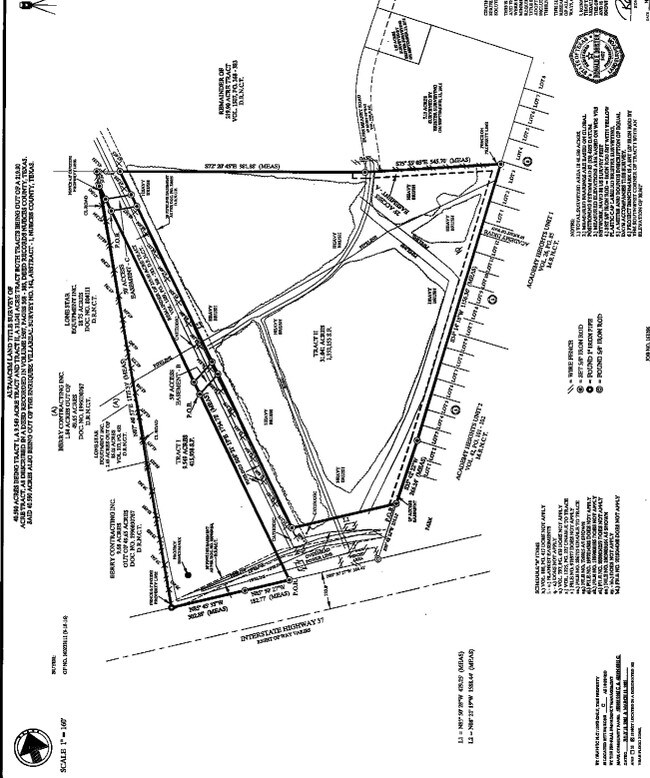
DUNN TR 68.37 ACS OUT OF OHLER TR
Industrialgeneral
NUECES
OCL
Texas
B and X Area of moderate flood hazard, usually the area between the limits of the 100-year and 500-year floods.
68.37 AC
2024
Port Area
2025
Corpus Christi
000602
Corpus Christi, TX
NEARBY LISTINGS FOR SALE OR LEASE
DEMOGRAPHICS near 6001 Up River Rd
1 mile
3 mile
5 mile
2025 Total Population
3,689
10,466
50,916
2030 Population
3,650
10,405
50,756
Pop Growth 2025-2030
(1.06%)
(0.58%)
(0.31%)
Average Age
39
39
39
2025 Total Households
1,417
3,798
17,566
HH Growth 2025-2030
(1.34%)
(0.79%)
(0.42%)
Median Household Inc
$45,983
$47,094
$44,837
Avg Household Size
2.50
2.60
2.70
2025 Avg HH Vehicles
1.00
2.00
2.00
Median Home Value
$74,330
$80,229
$81,471
Median Year Built
1980
1972
1966
Nearby Places
Map Layers
Map Styles
 Street
 Aerial
Transit
 Traffic
 Biking
Places
Listings with unknown addresses are not visible on the map
- Restaurants
- Banks
- Shops
- Fitness
- Groceries
PUBLIC TRANSPORTATION
AIRPORT
Corpus Christi International
Drive
Walk
Distance
Corpus Christi International
13 min
6.2 mi
Freight Ports
Port of Corpus Christi
Drive
Walk
Distance
Port of Corpus Christi
11 min
6.2 mi
SALE & LEASE HISTORY
LISTING DATE
SALE/LEASE

Jul 11, 2017
For Sale
Nearby Properties
Address
Land Use
TOTAL SIZE
Lot Size
Zoning
Address
Land Use
TOTAL SIZE
Lot Size
Zoning
174,650 SF
1.95 AC
I3
Address
Land Use
TOTAL SIZE
Lot Size
Zoning
233,436 SF
Address
Land Use
TOTAL SIZE
Lot Size
Zoning
368.71 AC
OCL
Address
Land Use
TOTAL SIZE
Lot Size
Zoning
105,979 SF
25 AC
I2SP92
Address
Land Use
TOTAL SIZE
Lot Size
Zoning
67,009 SF
6.99 AC
R1B
Address
Land Use
TOTAL SIZE
Lot Size
Zoning
600.26 AC
Address
Land Use
TOTAL SIZE
Lot Size
Zoning
Address
Land Use
TOTAL SIZE
Lot Size
Zoning
72.29 AC
OCL
Address
Land Use
TOTAL SIZE
Lot Size
Zoning
141,800 SF
6 AC
Address
Land Use
TOTAL SIZE
Lot Size
Zoning
72,689 SF
4.07 AC
B-4&B-1
Address
Land Use
TOTAL SIZE
Lot Size
Zoning
120,822 SF
0.50 AC
I3
Address
Land Use
TOTAL SIZE
Lot Size
Zoning
139.72 AC
OCL
Address
Land Use
TOTAL SIZE
Lot Size
Zoning
50.32 AC
OCL
Address
Land Use
TOTAL SIZE
Lot Size
Zoning
71,839 SF
30.18 AC
Address
Land Use
TOTAL SIZE
Lot Size
Zoning
26,200 SF
4.86 AC
I-2
Address
Land Use
TOTAL SIZE
Lot Size
Zoning
101.58 AC
I-3
Address
Land Use
TOTAL SIZE
Lot Size
Zoning
108,360 SF
8.12 AC
B4
Address
Land Use
TOTAL SIZE
Lot Size
Zoning
119.40 AC
OCL
Address
Land Use
TOTAL SIZE
Lot Size
Zoning
20,744 SF
23.64 AC
Address
Land Use
TOTAL SIZE
Lot Size
Zoning
56,431 SF
21.27 AC
Address
Land Use
TOTAL SIZE
Lot Size
Zoning
50,348 SF
11.17 AC
Address
Land Use
TOTAL SIZE
Lot Size
Zoning
96.23 AC
OCL
Address
Land Use
TOTAL SIZE
Lot Size
Zoning
7,400 SF
43.16 AC
OCL
Address
Land Use
TOTAL SIZE
Lot Size
Zoning
84.74 AC
Address
Land Use
TOTAL SIZE
Lot Size
Zoning
52,096 SF
1.88 AC
B-4
Address
Land Use
TOTAL SIZE
Lot Size
Zoning
124,012 SF
7.27 AC
I2
Address
Land Use
TOTAL SIZE
Lot Size
Zoning
3,456 SF
3.82 AC
B-1&B-4
Address
Land Use
TOTAL SIZE
Lot Size
Zoning
36.26 AC
OCL
Address
Land Use
TOTAL SIZE
Lot Size
Zoning
39,858 SF
29 AC
Address
Land Use
TOTAL SIZE
Lot Size
Zoning
29,400 SF
35.99 AC
The World's #1 Commercial Real Estate Marketplace
Connect with us
© 2026 CoStar Group
The information above has been obtained from sources believed reliable. While we do not doubt its accuracy we have not verified it and make no guarantee, warranty or representation about it. It is your responsibility to independently confirm its accuracy and completeness. Any projections, opinions, assumptions, or estimates used are for example only and do not represent the current or future performance of the property. The value of this transaction to you depends on tax and other factors which should be evaluated by your tax, financial, and legal advisors. You and your advisors should conduct a careful, independent investigation of the property to determine to your satisfaction the suitability of the property for your needs.