Property Record
Indianhead Dr, Jacksonville, AR 72076


NEARBY LISTINGS FOR SALE OR LEASE
Property Detail
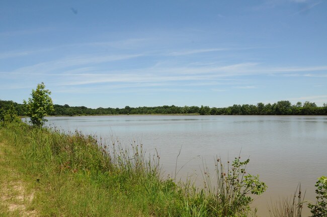
Indianhead Dr
Little Rock-North Little Rock-Conway, AR
AHWD ROW 91-0660 (1991000660). PT OF NE SECTION 34 MPDA COM AT NE CORNER TH N88*1451W 2044.15 FT TO POB TH S47*4922E 2715.76 FT S00*5948W 497.68 FT N47*2227W 3451.59 FT S88*1451E 535.99 FT TO POB *THIS LEGAL CREATED IN HOUSE FOR TAXA
22J-034-00-004-00
Pulaski
Taxexempt
Arkansas
AE
27,43
05119C0358G
65.13 AC
0
Outlying Pulaski County
2025
Little Rock/N Little Rock
003604
DEMOGRAPHICS near Indianhead Dr
1 Mile
3 Mile
5 Mile
2024 Total Population
1,603
28,068
70,997
2029 Population
1,605
27,960
70,724
Pop Growth 2024-2029
+ 0.12%
(0.38%)
(0.38%)
Average Age
42
39
39
2024 Total Households
686
11,511
28,998
HH Growth 2024-2029
+ 0.15%
(0.43%)
(0.47%)
Median Household Inc
$56,982
$60,115
$57,122
Avg Household Size
2.30
2.40
2.40
2024 Avg HH Vehicles
2.00
2.00
2.00
Median Home Value
$173,962
$180,532
$172,872
Median Year Built
1982
1988
1982
Nearby Places
Map Layers
Map Styles
 Street
 Aerial
- Restaurants
- Banks
- Shops
- Fitness
- Groceries
PUBLIC TRANSPORTATION
AIRPORT
Bill and Hillary Clinton Ntl/Adams Field
DRIVE
WALK
Distance
Bill and Hillary Clinton Ntl/Adams Field
24 min
16.0 mi
Freight Ports
Port of Shreveport
DRIVE
WALK
Distance
Port of Shreveport
266 min
243.8 mi
SALE & LEASE HISTORY
LISTING DATE
SALE/LEASE

Sep 13, 2019
For Sale
Sep 12, 2019
For Sale
Nearby Properties
Address
Land Use
TOTAL SIZE
Lot Size
Zoning
Address
Land Use
TOTAL SIZE
Lot Size
Zoning
78,183 SF
2.77 AC
Address
Land Use
TOTAL SIZE
Lot Size
Zoning
338,000 SF
22.81 AC
Address
Land Use
TOTAL SIZE
Lot Size
Zoning
17,352 SF
42.55 AC
Address
Land Use
TOTAL SIZE
Lot Size
Zoning
130,195 SF
10.11 AC
Address
Land Use
TOTAL SIZE
Lot Size
Zoning
92,654 SF
50.12 AC
Address
Land Use
TOTAL SIZE
Lot Size
Zoning
36,934 SF
15.06 AC
Address
Land Use
TOTAL SIZE
Lot Size
Zoning
72,157 SF
9.45 AC
Address
Land Use
TOTAL SIZE
Lot Size
Zoning
45,500 SF
12.07 AC
Address
Land Use
TOTAL SIZE
Lot Size
Zoning
60,232 SF
12.88 AC
Address
Land Use
TOTAL SIZE
Lot Size
Zoning
44,092 SF
7.97 AC
Address
Land Use
TOTAL SIZE
Lot Size
Zoning
37,333 SF
6.43 AC
Address
Land Use
TOTAL SIZE
Lot Size
Zoning
26,334 SF
4.51 AC
Address
Land Use
TOTAL SIZE
Lot Size
Zoning
36,642 SF
3.99 AC
Address
Land Use
TOTAL SIZE
Lot Size
Zoning
86,675 SF
4.73 AC
Address
Land Use
TOTAL SIZE
Lot Size
Zoning
68,246 SF
10.71 AC
Address
Land Use
TOTAL SIZE
Lot Size
Zoning
89,724 SF
7.60 AC
Address
Land Use
TOTAL SIZE
Lot Size
Zoning
19,514 SF
54.85 AC
Address
Land Use
TOTAL SIZE
Lot Size
Zoning
29,600 SF
4.43 AC
Address
Land Use
TOTAL SIZE
Lot Size
Zoning
32,256 SF
6.22 AC
Address
Land Use
TOTAL SIZE
Lot Size
Zoning
1,353 SF
0.68 AC
M-H
Address
Land Use
TOTAL SIZE
Lot Size
Zoning
14,416 SF
3.54 AC
Address
Land Use
TOTAL SIZE
Lot Size
Zoning
46,051 SF
12.58 AC
Address
Land Use
TOTAL SIZE
Lot Size
Zoning
34,988 SF
9.14 AC
Address
Land Use
TOTAL SIZE
Lot Size
Zoning
6,576 SF
122.66 AC
Address
Land Use
TOTAL SIZE
Lot Size
Zoning
1,426 SF
3.28 AC
Address
Land Use
TOTAL SIZE
Lot Size
Zoning
50,708 SF
6.39 AC
Address
Land Use
TOTAL SIZE
Lot Size
Zoning
7,486 SF
5.27 AC
Address
Land Use
TOTAL SIZE
Lot Size
Zoning
32,661 SF
6.06 AC
Address
Land Use
TOTAL SIZE
Lot Size
Zoning
28,329 SF
10.40 AC
Address
Land Use
TOTAL SIZE
Lot Size
Zoning
203,943 SF
10.82 AC
The World's #1 Commercial Real Estate Marketplace
Connect with us
© 2026 CoStar Group
The information above has been obtained from sources believed reliable. While we do not doubt its accuracy we have not verified it and make no guarantee, warranty or representation about it. It is your responsibility to independently confirm its accuracy and completeness. Any projections, opinions, assumptions, or estimates used are for example only and do not represent the current or future performance of the property. The value of this transaction to you depends on tax and other factors which should be evaluated by your tax, financial, and legal advisors. You and your advisors should conduct a careful, independent investigation of the property to determine to your satisfaction the suitability of the property for your needs.