Property Record
Industrial Dr, Lexington, SC 29072

Property Detail
Industrial Dr
005498-05-002
NONE
Residentialacreage
LEXINGTON
ID
South Carolina
B and X Area of moderate flood hazard, usually the area between the limits of the 100-year and 500-year floods.
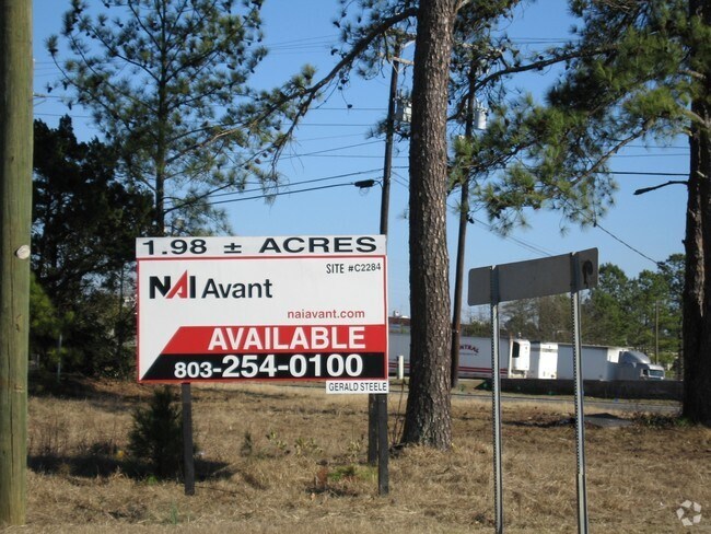
4.08 AC
2025
Lexington
2024
Columbia
021050
Columbia, SC
NEARBY LISTINGS FOR SALE OR LEASE
DEMOGRAPHICS near Industrial Dr
1 mile
3 mile
5 mile
2025 Total Population
2,294
34,174
97,478
2030 Population
2,442
35,884
102,133
Pop Growth 2025-2030
+ 6.45%
+ 5.00%
+ 4.78%
Average Age
42
40
39
2025 Total Households
980
13,611
36,854
HH Growth 2025-2030
+ 6.84%
+ 5.22%
+ 4.95%
Median Household Inc
$72,911
$81,552
$90,022
Avg Household Size
2.20
2.40
2.60
2025 Avg HH Vehicles
2.00
2.00
2.00
Median Home Value
$234,130
$246,070
$261,567
Median Year Built
1995
1998
1999
Nearby Places
Map Layers
Map Styles
 Street
 Aerial
Layers
 Traffic
 Biking
Places
Listings with unknown addresses are not visible on the map
- Restaurants
- Banks
- Shops
- Fitness
- Groceries
PUBLIC TRANSPORTATION
AIRPORT
Columbia Metro
Drive
Walk
Distance
Columbia Metro
26 min
9.2 mi
Freight Ports
North Charleston Terminal
Drive
Walk
Distance
North Charleston Terminal
128 min
110.6 mi
Nearby Properties
Address
Land Use
TOTAL SIZE
Lot Size
Zoning
Address
Land Use
TOTAL SIZE
Lot Size
Zoning
336,700 SF
80.12 AC
ID
Address
Land Use
TOTAL SIZE
Lot Size
Zoning
78,966 SF
10.34 AC
Address
Land Use
TOTAL SIZE
Lot Size
Zoning
1,485 SF
19.51 AC
GC
Address
Land Use
TOTAL SIZE
Lot Size
Zoning
37,794 SF
22.37 AC
ID
Address
Land Use
TOTAL SIZE
Lot Size
Zoning
4,198 SF
23.54 AC
Address
Land Use
TOTAL SIZE
Lot Size
Zoning
3,383 SF
20.65 AC
Address
Land Use
TOTAL SIZE
Lot Size
Zoning
3,406 SF
19.99 AC
HDR
Address
Land Use
TOTAL SIZE
Lot Size
Zoning
204,927 SF
24.82 AC
GC
Address
Land Use
TOTAL SIZE
Lot Size
Zoning
58.81 AC
RD
Address
Land Use
TOTAL SIZE
Lot Size
Zoning
39,713 SF
11.70 AC
GC
Address
Land Use
TOTAL SIZE
Lot Size
Zoning
37,722 SF
6.41 AC
GC
Address
Land Use
TOTAL SIZE
Lot Size
Zoning
64,281 SF
11.71 AC
GC
Address
Land Use
TOTAL SIZE
Lot Size
Zoning
79,246 SF
9.04 AC
GC
Address
Land Use
TOTAL SIZE
Lot Size
Zoning
3,079 SF
15.93 AC
HDR
Address
Land Use
TOTAL SIZE
Lot Size
Zoning
59.61 AC
ID
Address
Land Use
TOTAL SIZE
Lot Size
Zoning
102,553 SF
13.30 AC
GC
Address
Land Use
TOTAL SIZE
Lot Size
Zoning
9,792 SF
7.47 AC
HDR
Address
Land Use
TOTAL SIZE
Lot Size
Zoning
85,508 SF
9.22 AC
GC
Address
Land Use
TOTAL SIZE
Lot Size
Zoning
41,883 SF
21.77 AC
ID
Address
Land Use
TOTAL SIZE
Lot Size
Zoning
835 SF
6.58 AC
ID
Address
Land Use
TOTAL SIZE
Lot Size
Zoning
62,141 SF
7.28 AC
GC
Address
Land Use
TOTAL SIZE
Lot Size
Zoning
8,269 SF
12.99 AC
RD
Address
Land Use
TOTAL SIZE
Lot Size
Zoning
78,665 SF
7.58 AC
GC
Address
Land Use
TOTAL SIZE
Lot Size
Zoning
10.52 AC
ID
Address
Land Use
TOTAL SIZE
Lot Size
Zoning
33,218 SF
4.40 AC
GC
Address
Land Use
TOTAL SIZE
Lot Size
Zoning
15,343 SF
1.30 AC
GC
Address
Land Use
TOTAL SIZE
Lot Size
Zoning
55,686 SF
6.42 AC
ID
Address
Land Use
TOTAL SIZE
Lot Size
Zoning
1,572 SF
21.04 AC
GC
Address
Land Use
TOTAL SIZE
Lot Size
Zoning
35,109 SF
11.06 AC
GC
Address
Land Use
TOTAL SIZE
Lot Size
Zoning
60,000 SF
4.77 AC
ID
The World's #1 Commercial Real Estate Marketplace
Connect with us
© 2026 CoStar Group
The information above has been obtained from sources believed reliable. While we do not doubt its accuracy we have not verified it and make no guarantee, warranty or representation about it. It is your responsibility to independently confirm its accuracy and completeness. Any projections, opinions, assumptions, or estimates used are for example only and do not represent the current or future performance of the property. The value of this transaction to you depends on tax and other factors which should be evaluated by your tax, financial, and legal advisors. You and your advisors should conduct a careful, independent investigation of the property to determine to your satisfaction the suitability of the property for your needs.