Property Record
520 J F Smith Ave, Slidell, LA 70460
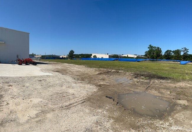

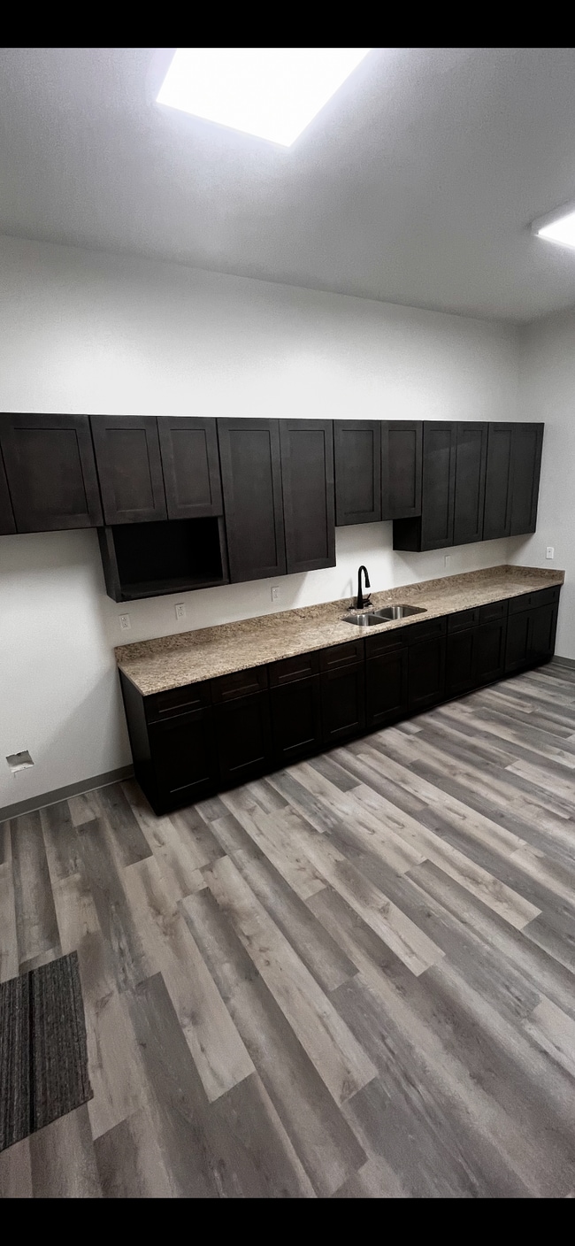

Property Detail
520 J F Smith Ave
Slidell-Mandeville-Covington, LA
JOHNNY F SMITH MEMORIAL BUSINESS PARK LT6A3
113231
ST TAMMANY
Commercialnec
Louisiana
2025
6a1
2025
3.90 AC
040713
Slidell
32,357 SF
New Orleans/Metairie/Kenner
NEARBY LISTINGS FOR SALE OR LEASE
DEMOGRAPHICS near 520 J F Smith Ave
1 mile
3 mile
5 mile
2025 Total Population
3,349
34,582
80,680
2030 Population
3,462
35,622
83,132
Pop Growth 2025-2030
+ 3.37%
+ 3.01%
+ 3.04%
Average Age
38
40
40
2025 Total Households
1,261
13,105
30,685
HH Growth 2025-2030
+ 3.33%
+ 3.03%
+ 3.10%
Median Household Inc
$52,228
$69,478
$69,225
Avg Household Size
2.60
2.60
2.60
2025 Avg HH Vehicles
2.00
2.00
2.00
Median Home Value
$168,122
$225,732
$224,215
Median Year Built
1992
1983
1987
Nearby Places
Map Layers
Map Styles
 Street
 Aerial
Transit
 Traffic
 Biking
Places
Listings with unknown addresses are not visible on the map
- Restaurants
- Banks
- Shops
- Fitness
- Groceries
PUBLIC TRANSPORTATION
COMMUTER RAIL
Slidell Amtrak Station (Crescent - Amtrak)
Drive
Walk
Distance
Slidell Amtrak Station (Crescent - Amtrak)
8 min
3.5 mi
Freight Ports
Port of New Orleans
Drive
Walk
Distance
Port of New Orleans
54 min
39.7 mi
SALE & LEASE HISTORY
LISTING DATE
SALE/LEASE

Sep 26, 2025
For Sale
Mar 11, 2025
For Lease
Dec 10, 2024
For Sale
Nearby Properties
Address
Land Use
TOTAL SIZE
Lot Size
Zoning
Address
Land Use
TOTAL SIZE
Lot Size
Zoning
858,000 SF
59.39 AC
Address
Land Use
TOTAL SIZE
Lot Size
Zoning
660,450 SF
68.42 AC
Address
Land Use
TOTAL SIZE
Lot Size
Zoning
120,000 SF
6.75 AC
Address
Land Use
TOTAL SIZE
Lot Size
Zoning
104,000 SF
12.89 AC
Address
Land Use
TOTAL SIZE
Lot Size
Zoning
205,496 SF
27.47 AC
Address
Land Use
TOTAL SIZE
Lot Size
Zoning
157,561 SF
10.06 AC
Address
Land Use
TOTAL SIZE
Lot Size
Zoning
137,402 SF
76.02 AC
Address
Land Use
TOTAL SIZE
Lot Size
Zoning
137,402 SF
52.77 AC
Address
Land Use
TOTAL SIZE
Lot Size
Zoning
123,155 SF
15 AC
Address
Land Use
TOTAL SIZE
Lot Size
Zoning
127,681 SF
3 AC
Address
Land Use
TOTAL SIZE
Lot Size
Zoning
63,135 SF
12.49 AC
Address
Land Use
TOTAL SIZE
Lot Size
Zoning
105,633 SF
11 AC
Address
Land Use
TOTAL SIZE
Lot Size
Zoning
104,821 SF
10.09 AC
Address
Land Use
TOTAL SIZE
Lot Size
Zoning
84,000 SF
10.84 AC
Address
Land Use
TOTAL SIZE
Lot Size
Zoning
105,300 SF
8.75 AC
Address
Land Use
TOTAL SIZE
Lot Size
Zoning
94,980 SF
10 AC
Address
Land Use
TOTAL SIZE
Lot Size
Zoning
137,759 SF
1 AC
Address
Land Use
TOTAL SIZE
Lot Size
Zoning
104,702 SF
11.69 AC
Address
Land Use
TOTAL SIZE
Lot Size
Zoning
144,674 SF
13.10 AC
Address
Land Use
TOTAL SIZE
Lot Size
Zoning
98,353 SF
4.38 AC
Address
Land Use
TOTAL SIZE
Lot Size
Zoning
184,551 SF
20 AC
Address
Land Use
TOTAL SIZE
Lot Size
Zoning
44,390 SF
1.69 AC
Address
Land Use
TOTAL SIZE
Lot Size
Zoning
116,077 SF
9.14 AC
Address
Land Use
TOTAL SIZE
Lot Size
Zoning
114,806 SF
10.22 AC
Address
Land Use
TOTAL SIZE
Lot Size
Zoning
91,149 SF
4.26 AC
Address
Land Use
TOTAL SIZE
Lot Size
Zoning
66,634 SF
14 AC
Address
Land Use
TOTAL SIZE
Lot Size
Zoning
42,995 SF
5.20 AC
Address
Land Use
TOTAL SIZE
Lot Size
Zoning
1,378 SF
1.19 AC
Address
Land Use
TOTAL SIZE
Lot Size
Zoning
24,082 SF
8.49 AC
Address
Land Use
TOTAL SIZE
Lot Size
Zoning
32,287 SF
4.74 AC
The World's #1 Commercial Real Estate Marketplace
Connect with us
© 2026 CoStar Group
The information above has been obtained from sources believed reliable. While we do not doubt its accuracy we have not verified it and make no guarantee, warranty or representation about it. It is your responsibility to independently confirm its accuracy and completeness. Any projections, opinions, assumptions, or estimates used are for example only and do not represent the current or future performance of the property. The value of this transaction to you depends on tax and other factors which should be evaluated by your tax, financial, and legal advisors. You and your advisors should conduct a careful, independent investigation of the property to determine to your satisfaction the suitability of the property for your needs.