Property Record
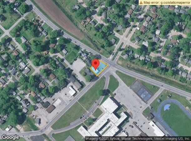
Jerome Lane At Range Ln, Cahokia, IL 62206

NEARBY LISTINGS FOR SALE OR LEASE
Property Detail
Jerome Lane At Range Ln
St. Louis
Cahokia Commonfields
St. Louis, MO-IL
CAHOKIA COMMONFIELDS LOT/SEC-212B PT 212B DOC A01864449
06-02.0-211-020
St. Clair
Conveniencestore
Illinois
2024
212
2024
0.31 AC
502602
SE Metro Illinois
2,345 SF
DEMOGRAPHICS near Jerome Lane At Range Ln
1 Mile
3 Mile
5 Mile
2024 Total Population
5,955
23,059
115,224
2029 Population
5,980
23,250
111,320
Pop Growth 2024-2029
+ 0.42%
+ 0.83%
(3.39%)
Average Age
37
38
38
2024 Total Households
2,116
8,636
51,580
HH Growth 2024-2029
+ 0.52%
+ 0.89%
(3.58%)
Median Household Inc
$41,411
$34,593
$47,132
Avg Household Size
2.70
2.60
2.10
2024 Avg HH Vehicles
1.00
1.00
1.00
Median Home Value
$53,379
$58,194
$128,947
Median Year Built
1967
1969
1948
Nearby Places
Map Layers
Map Styles
 Street
 Aerial
- Restaurants
- Banks
- Shops
- Fitness
- Groceries
PUBLIC TRANSPORTATION
COMMUTER RAIL
5Th And Missouri (Lambert Airport Shiloh-Scott - St. Louis MetroLink (MetroLink), Shrewsbury-Lansdowne I-44 Emerson Park - St. Louis MetroLink (MetroLink))
DRIVE
WALK
Distance
5Th And Missouri (Lambert Airport Shiloh-Scott - St. Louis MetroLink (MetroLink), Shrewsbury-Lansdowne I-44 Emerson Park - St. Louis MetroLink (MetroLink))
9 min
4.8 mi
Stadium (Lambert Airport Shiloh-Scott - St. Louis MetroLink (MetroLink), Shrewsbury-Lansdowne I-44 Emerson Park - St. Louis MetroLink (MetroLink))
DRIVE
WALK
Distance
Stadium (Lambert Airport Shiloh-Scott - St. Louis MetroLink (MetroLink), Shrewsbury-Lansdowne I-44 Emerson Park - St. Louis MetroLink (MetroLink))
10 min
5.5 mi
AIRPORT
St Louis Lambert International
DRIVE
WALK
Distance
St Louis Lambert International
31 min
19.6 mi
Scott AFB/Midamerica St Louis
DRIVE
WALK
Distance
Scott AFB/Midamerica St Louis
40 min
25.4 mi
Freight Ports
Port Milwaukee
DRIVE
WALK
Distance
Port Milwaukee
421 min
371.5 mi
Nearby Properties
Address
Land Use
TOTAL SIZE
Lot Size
Zoning
Address
Land Use
TOTAL SIZE
Lot Size
Zoning
Address
Land Use
TOTAL SIZE
Lot Size
Zoning
Address
Land Use
TOTAL SIZE
Lot Size
Zoning
12,308 SF
18.44 AC
Address
Land Use
TOTAL SIZE
Lot Size
Zoning
2,550 SF
16.69 AC
Address
Land Use
TOTAL SIZE
Lot Size
Zoning
273 SF
232.96 AC
Address
Land Use
TOTAL SIZE
Lot Size
Zoning
Address
Land Use
TOTAL SIZE
Lot Size
Zoning
Address
Land Use
TOTAL SIZE
Lot Size
Zoning
353,728 SF
10.67 AC
K
Address
Land Use
TOTAL SIZE
Lot Size
Zoning
20,140 SF
20.42 AC
Address
Land Use
TOTAL SIZE
Lot Size
Zoning
28.07 AC
Address
Land Use
TOTAL SIZE
Lot Size
Zoning
197,690 SF
32.20 AC
Address
Land Use
TOTAL SIZE
Lot Size
Zoning
118,030 SF
6.78 AC
Address
Land Use
TOTAL SIZE
Lot Size
Zoning
80,000 SF
71.47 AC
Address
Land Use
TOTAL SIZE
Lot Size
Zoning
0.07 AC
Address
Land Use
TOTAL SIZE
Lot Size
Zoning
15,323 SF
10.38 AC
Address
Land Use
TOTAL SIZE
Lot Size
Zoning
Address
Land Use
TOTAL SIZE
Lot Size
Zoning
9,016 SF
25.15 AC
Address
Land Use
TOTAL SIZE
Lot Size
Zoning
8,249 SF
5.03 AC
Address
Land Use
TOTAL SIZE
Lot Size
Zoning
Address
Land Use
TOTAL SIZE
Lot Size
Zoning
Address
Land Use
TOTAL SIZE
Lot Size
Zoning
8,745 SF
14.55 AC
Address
Land Use
TOTAL SIZE
Lot Size
Zoning
3,300 SF
95.72 AC
Address
Land Use
TOTAL SIZE
Lot Size
Zoning
61,580 SF
16.32 AC
Address
Land Use
TOTAL SIZE
Lot Size
Zoning
166,943 SF
8.59 AC
K
Address
Land Use
TOTAL SIZE
Lot Size
Zoning
Address
Land Use
TOTAL SIZE
Lot Size
Zoning
Address
Land Use
TOTAL SIZE
Lot Size
Zoning
28.47 AC
Address
Land Use
TOTAL SIZE
Lot Size
Zoning
38 AC
K
Address
Land Use
TOTAL SIZE
Lot Size
Zoning
12,354 SF
52.25 AC
Address
Land Use
TOTAL SIZE
Lot Size
Zoning
The World's #1 Commercial Real Estate Marketplace
Connect with us
© 2025 CoStar Group
The information above has been obtained from sources believed reliable. While we do not doubt its accuracy we have not verified it and make no guarantee, warranty or representation about it. It is your responsibility to independently confirm its accuracy and completeness. Any projections, opinions, assumptions, or estimates used are for example only and do not represent the current or future performance of the property. The value of this transaction to you depends on tax and other factors which should be evaluated by your tax, financial, and legal advisors. You and your advisors should conduct a careful, independent investigation of the property to determine to your satisfaction the suitability of the property for your needs.