Property Record
Ketcham Rd, Howell, NJ 07731
NEARBY LISTINGS FOR SALE OR LEASE
Property Detail
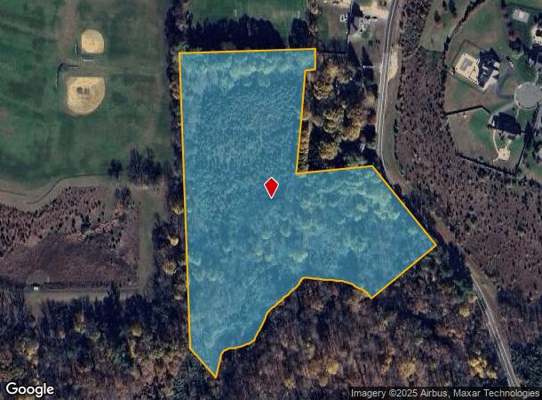
Ketcham Rd
New York-Jersey City-White Plains, NY-NJ
Monmouth Chase
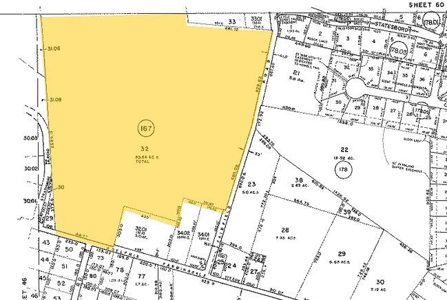
21-00152-0000-00065-01
FACILITY NAME: DEDICATED OPEN SPACE
Governmentalpublicusegeneral
Monmouth
AE
New Jersey
34025C0304F
65.1
0
11.48 AC
2025
Western Monmouth
811402
Northern New Jersey
DEMOGRAPHICS near Ketcham Rd
1 Mile
3 Mile
5 Mile
2024 Total Population
2,337
24,968
81,207
2029 Population
2,306
24,702
80,559
Pop Growth 2024-2029
(1.33%)
(1.07%)
(0.80%)
Average Age
43
43
41
2024 Total Households
827
9,573
28,462
HH Growth 2024-2029
(1.57%)
(1.21%)
(1.06%)
Median Household Inc
$135,495
$98,822
$111,614
Avg Household Size
2.70
2.50
2.80
2024 Avg HH Vehicles
2.00
2.00
2.00
Median Home Value
$580,052
$450,292
$442,699
Median Year Built
1985
1986
1981
Nearby Places
Map Layers
Map Styles
 Street
 Aerial
- Restaurants
- Banks
- Shops
- Fitness
- Groceries
Nearby Properties
Address
Land Use
TOTAL SIZE
Lot Size
Zoning
Address
Land Use
TOTAL SIZE
Lot Size
Zoning
36.48 AC
HD-2
Address
Land Use
TOTAL SIZE
Lot Size
Zoning
25.63 AC
HD-1
Address
Land Use
TOTAL SIZE
Lot Size
Zoning
136,800 SF
14.08 AC
ARE1
Address
Land Use
TOTAL SIZE
Lot Size
Zoning
13 AC
R-40
Address
Land Use
TOTAL SIZE
Lot Size
Zoning
81,657 SF
12.62 AC
B-10
Address
Land Use
TOTAL SIZE
Lot Size
Zoning
126,300 SF
10.12 AC
M-1
Address
Land Use
TOTAL SIZE
Lot Size
Zoning
120,000 SF
77 AC
ARE2
Address
Land Use
TOTAL SIZE
Lot Size
Zoning
8,694 SF
73.93 AC
R-40
Address
Land Use
TOTAL SIZE
Lot Size
Zoning
43.22 AC
ARE2
Address
Land Use
TOTAL SIZE
Lot Size
Zoning
106,345 SF
10.53 AC
LI-3
Address
Land Use
TOTAL SIZE
Lot Size
Zoning
240,362 SF
61.13 AC
ARE6
Address
Land Use
TOTAL SIZE
Lot Size
Zoning
117,975 SF
21.20 AC
HD-1
Address
Land Use
TOTAL SIZE
Lot Size
Zoning
7,966 SF
44.17 AC
MH
Address
Land Use
TOTAL SIZE
Lot Size
Zoning
161,000 SF
21.60 AC
ARE2
Address
Land Use
TOTAL SIZE
Lot Size
Zoning
94,480 SF
11.11 AC
HD-1
Address
Land Use
TOTAL SIZE
Lot Size
Zoning
66,768 SF
10.90 AC
ARE2
Address
Land Use
TOTAL SIZE
Lot Size
Zoning
2,104 SF
22.90 AC
MHP
Address
Land Use
TOTAL SIZE
Lot Size
Zoning
52,985 SF
20.92 AC
HD-1
Address
Land Use
TOTAL SIZE
Lot Size
Zoning
55,984 SF
16.11 AC
LI
Address
Land Use
TOTAL SIZE
Lot Size
Zoning
10.11 AC
SED
Address
Land Use
TOTAL SIZE
Lot Size
Zoning
86,936 SF
3.42 AC
LI
Address
Land Use
TOTAL SIZE
Lot Size
Zoning
69,465 SF
7.70 AC
HD-1
Address
Land Use
TOTAL SIZE
Lot Size
Zoning
600 SF
12.47 AC
RMLD
Address
Land Use
TOTAL SIZE
Lot Size
Zoning
42.76 AC
SED
Address
Land Use
TOTAL SIZE
Lot Size
Zoning
33,128 SF
12.68 AC
ARE6
Address
Land Use
TOTAL SIZE
Lot Size
Zoning
29,000 SF
9.24 AC
HD-1
Address
Land Use
TOTAL SIZE
Lot Size
Zoning
75,288 SF
5.50 AC
HD-1
Address
Land Use
TOTAL SIZE
Lot Size
Zoning
13.33 AC
SED
Address
Land Use
TOTAL SIZE
Lot Size
Zoning
7.04 AC
SED
Address
Land Use
TOTAL SIZE
Lot Size
Zoning
14.69 AC
LI-3
The World's #1 Commercial Real Estate Marketplace
Connect with us
© 2025 CoStar Group
The information above has been obtained from sources believed reliable. While we do not doubt its accuracy we have not verified it and make no guarantee, warranty or representation about it. It is your responsibility to independently confirm its accuracy and completeness. Any projections, opinions, assumptions, or estimates used are for example only and do not represent the current or future performance of the property. The value of this transaction to you depends on tax and other factors which should be evaluated by your tax, financial, and legal advisors. You and your advisors should conduct a careful, independent investigation of the property to determine to your satisfaction the suitability of the property for your needs.