Property Record
Kissimmee Park Rd, Saint Cloud, FL 34772
NEARBY LISTINGS FOR SALE OR LEASE
Property Detail
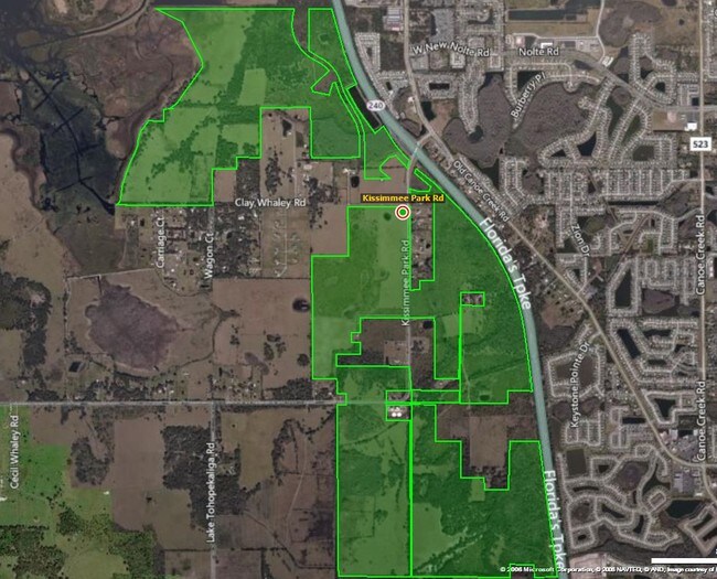
Kissimmee Park Rd
Orlando-Kissimmee-Sanford, FL
S L & I C
22-26-30-4950-0001-0410
COM AT S 1/4 COR OF 16-26-30, W 647.89 FT, N 626.69 FT TO POB; W 100 FT, N 100 FT, E 100 FT, S 100 FT TO POB
Vacantlandnec
Osceola
AE
Florida
12097C0260G
19
2024
9.89 AC
2025
Osceola Outlying
043304
Orlando
DEMOGRAPHICS near Kissimmee Park Rd
1 Mile
3 Mile
5 Mile
2024 Total Population
3,936
41,104
82,596
2029 Population
4,663
48,996
99,057
Pop Growth 2024-2029
+ 18.47%
+ 19.20%
+ 19.93%
Average Age
39
38
38
2024 Total Households
1,286
13,551
28,012
HH Growth 2024-2029
+ 18.27%
+ 18.99%
+ 19.86%
Median Household Inc
$61,250
$67,560
$65,226
Avg Household Size
3.00
3.00
2.90
2024 Avg HH Vehicles
2.00
2.00
2.00
Median Home Value
$307,281
$280,054
$290,439
Median Year Built
2002
2003
2003
Nearby Places
Map Layers
Map Styles
 Street
 Aerial
- Restaurants
- Banks
- Shops
- Fitness
- Groceries
PUBLIC TRANSPORTATION
AIRPORT
Orlando International
DRIVE
WALK
Distance
Orlando International
50 min
39.2 mi
Freight Ports
Port Canaveral
DRIVE
WALK
Distance
Port Canaveral
97 min
80.9 mi
Nearby Properties
Address
Land Use
TOTAL SIZE
Lot Size
Zoning
Address
Land Use
TOTAL SIZE
Lot Size
Zoning
270,959 SF
10.84 AC
SPUD
Address
Land Use
TOTAL SIZE
Lot Size
Zoning
118,121 SF
237.16 AC
SP
Address
Land Use
TOTAL SIZE
Lot Size
Zoning
227,369 SF
18.57 AC
ORM3
Address
Land Use
TOTAL SIZE
Lot Size
Zoning
188,778 SF
15.62 AC
SR4
Address
Land Use
TOTAL SIZE
Lot Size
Zoning
106,078 SF
15.04 AC
SP
Address
Land Use
TOTAL SIZE
Lot Size
Zoning
50,025 SF
4.45 AC
SP
Address
Land Use
TOTAL SIZE
Lot Size
Zoning
136,124 SF
14.46 AC
SAC
Address
Land Use
TOTAL SIZE
Lot Size
Zoning
68,306 SF
9.59 AC
SPUD
Address
Land Use
TOTAL SIZE
Lot Size
Zoning
102,869 SF
1.71 AC
Address
Land Use
TOTAL SIZE
Lot Size
Zoning
107,129 SF
7.87 AC
SPUD
Address
Land Use
TOTAL SIZE
Lot Size
Zoning
4,940 SF
280.16 AC
AC
Address
Land Use
TOTAL SIZE
Lot Size
Zoning
60,772 SF
6.42 AC
SP
Address
Land Use
TOTAL SIZE
Lot Size
Zoning
88,725 SF
5.79 AC
SHB
Address
Land Use
TOTAL SIZE
Lot Size
Zoning
59,852 SF
8.13 AC
SHB
Address
Land Use
TOTAL SIZE
Lot Size
Zoning
92,108 SF
11.44 AC
SHB
Address
Land Use
TOTAL SIZE
Lot Size
Zoning
23,597 SF
2.47 AC
SPUD
Address
Land Use
TOTAL SIZE
Lot Size
Zoning
70,375 SF
4.58 AC
OAR2
Address
Land Use
TOTAL SIZE
Lot Size
Zoning
70,280 SF
2.01 AC
SPUD
Address
Land Use
TOTAL SIZE
Lot Size
Zoning
50,725 SF
29.07 AC
SR1B
Address
Land Use
TOTAL SIZE
Lot Size
Zoning
16.98 AC
Address
Land Use
TOTAL SIZE
Lot Size
Zoning
14,761 SF
1.86 AC
SHB
Address
Land Use
TOTAL SIZE
Lot Size
Zoning
46,404 SF
29.13 AC
SP
Address
Land Use
TOTAL SIZE
Lot Size
Zoning
49.53 AC
Address
Land Use
TOTAL SIZE
Lot Size
Zoning
12,268 SF
1.68 AC
SHB
Address
Land Use
TOTAL SIZE
Lot Size
Zoning
1,104 SF
50.54 AC
OAC
Address
Land Use
TOTAL SIZE
Lot Size
Zoning
25,474 SF
10.57 AC
SPUD
Address
Land Use
TOTAL SIZE
Lot Size
Zoning
42,412 SF
6.30 AC
Address
Land Use
TOTAL SIZE
Lot Size
Zoning
25,232 SF
254.03 AC
SAC
Address
Land Use
TOTAL SIZE
Lot Size
Zoning
35,338 SF
9.27 AC
SP
Address
Land Use
TOTAL SIZE
Lot Size
Zoning
38,910 SF
2.52 AC
SR3
The World's #1 Commercial Real Estate Marketplace
Connect with us
© 2025 CoStar Group
The information above has been obtained from sources believed reliable. While we do not doubt its accuracy we have not verified it and make no guarantee, warranty or representation about it. It is your responsibility to independently confirm its accuracy and completeness. Any projections, opinions, assumptions, or estimates used are for example only and do not represent the current or future performance of the property. The value of this transaction to you depends on tax and other factors which should be evaluated by your tax, financial, and legal advisors. You and your advisors should conduct a careful, independent investigation of the property to determine to your satisfaction the suitability of the property for your needs.