Property Record
Lone Oak Rd, Hogansville, GA 30230

Property Detail
Lone Oak Rd
004-003
18.93 ACS/ LL 123 11TH LD
Agriculturalland
MERIWETHER
001
Georgia
B and X Area of moderate flood hazard, usually the area between the limits of the 100-year and 500-year floods.
18.93 AC
2025
Meriwether County
2025
Atlanta
960101
Atlanta-Sandy Springs-Roswell, GA
NEARBY LISTINGS FOR SALE OR LEASE
-
-
View all Hogansville listings for sale on LoopNet.com
DEMOGRAPHICS near Lone Oak Rd
1 mile
3 mile
5 mile
2025 Total Population
123
2,585
7,933
2030 Population
128
2,691
8,312
Pop Growth 2025-2030
+ 4.07%
+ 4.10%
+ 4.78%
Average Age
42
39
39
2025 Total Households
47
969
2,973
HH Growth 2025-2030
+ 4.26%
+ 4.23%
+ 4.84%
Median Household Inc
$59,999
$67,705
$63,573
Avg Household Size
2.50
2.60
2.60
2025 Avg HH Vehicles
2.00
2.00
2.00
Median Home Value
$250,000
$192,430
$213,559
Median Year Built
1989
1981
1986
Nearby Places
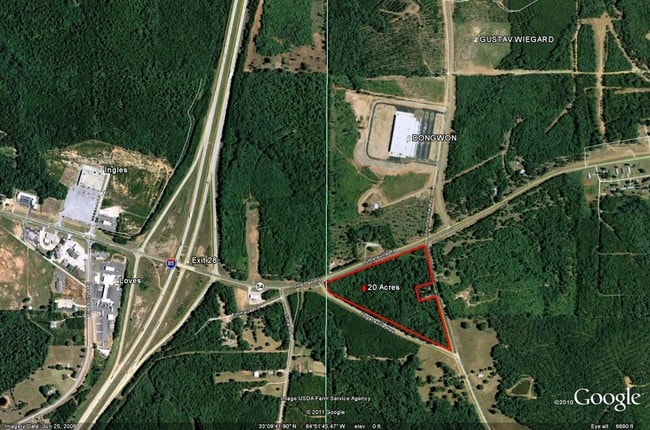
Map Layers
Map Styles
 Street
 Aerial
Layers
 Traffic
 Biking
Places
Listings with unknown addresses are not visible on the map
- Restaurants
- Banks
- Shops
- Fitness
- Groceries
SALE & LEASE HISTORY
LISTING DATE
SALE/LEASE

Sep 24, 2016
For Sale
Aug 01, 2017
For Sale
Nearby Properties
Address
Land Use
TOTAL SIZE
Lot Size
Zoning
Address
Land Use
TOTAL SIZE
Lot Size
Zoning
390,000 SF
74.30 AC
Address
Land Use
TOTAL SIZE
Lot Size
Zoning
20,916 SF
36.96 AC
Address
Land Use
TOTAL SIZE
Lot Size
Zoning
477.38 AC
18-PUD
Address
Land Use
TOTAL SIZE
Lot Size
Zoning
15,996 SF
30 AC
001
Address
Land Use
TOTAL SIZE
Lot Size
Zoning
26,554 SF
15.45 AC
Address
Land Use
TOTAL SIZE
Lot Size
Zoning
228.38 AC
Address
Land Use
TOTAL SIZE
Lot Size
Zoning
9,064 SF
6.65 AC
Address
Land Use
TOTAL SIZE
Lot Size
Zoning
53,630 SF
12.28 AC
Address
Land Use
TOTAL SIZE
Lot Size
Zoning
3,944 SF
10 AC
Address
Land Use
TOTAL SIZE
Lot Size
Zoning
6,795 SF
0.60 AC
Address
Land Use
TOTAL SIZE
Lot Size
Zoning
108.78 AC
18-PUD
Address
Land Use
TOTAL SIZE
Lot Size
Zoning
7,028 SF
2.75 AC
Address
Land Use
TOTAL SIZE
Lot Size
Zoning
24,818 SF
5.76 AC
Address
Land Use
TOTAL SIZE
Lot Size
Zoning
6,528 SF
2.32 AC
Address
Land Use
TOTAL SIZE
Lot Size
Zoning
37.60 AC
Address
Land Use
TOTAL SIZE
Lot Size
Zoning
1,152 SF
13.50 AC
Address
Land Use
TOTAL SIZE
Lot Size
Zoning
1,200 SF
2.23 AC
Address
Land Use
TOTAL SIZE
Lot Size
Zoning
102.99 AC
18-PUD
Address
Land Use
TOTAL SIZE
Lot Size
Zoning
3,607 SF
5 AC
Address
Land Use
TOTAL SIZE
Lot Size
Zoning
16,488 SF
1.48 AC
Address
Land Use
TOTAL SIZE
Lot Size
Zoning
5,635 SF
7.22 AC
Address
Land Use
TOTAL SIZE
Lot Size
Zoning
11,544 SF
9.92 AC
18-R3
Address
Land Use
TOTAL SIZE
Lot Size
Zoning
157.05 AC
Address
Land Use
TOTAL SIZE
Lot Size
Zoning
394.74 AC
01-AGR
Address
Land Use
TOTAL SIZE
Lot Size
Zoning
16,986 SF
1.18 AC
Address
Land Use
TOTAL SIZE
Lot Size
Zoning
3,036 SF
1.66 AC
Address
Land Use
TOTAL SIZE
Lot Size
Zoning
417.54 AC
001
Address
Land Use
TOTAL SIZE
Lot Size
Zoning
494.73 AC
001
Address
Land Use
TOTAL SIZE
Lot Size
Zoning
2,440 SF
1.31 AC
Address
Land Use
TOTAL SIZE
Lot Size
Zoning
13,820 SF
2.02 AC
The World's #1 Commercial Real Estate Marketplace
Connect with us
© 2026 CoStar Group
The information above has been obtained from sources believed reliable. While we do not doubt its accuracy we have not verified it and make no guarantee, warranty or representation about it. It is your responsibility to independently confirm its accuracy and completeness. Any projections, opinions, assumptions, or estimates used are for example only and do not represent the current or future performance of the property. The value of this transaction to you depends on tax and other factors which should be evaluated by your tax, financial, and legal advisors. You and your advisors should conduct a careful, independent investigation of the property to determine to your satisfaction the suitability of the property for your needs.