Property Record
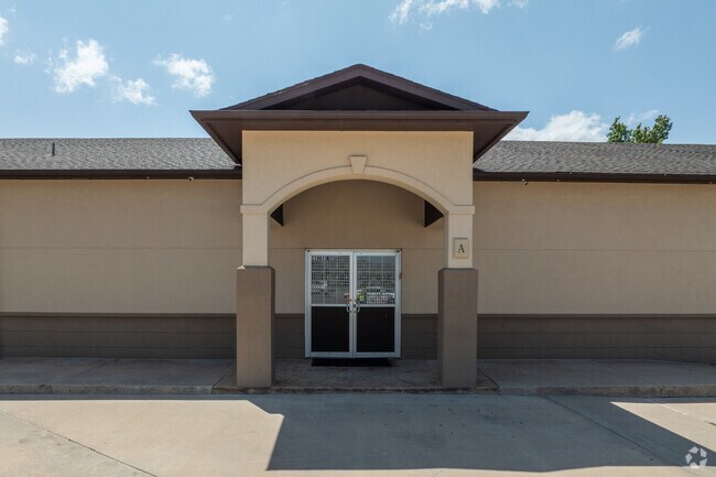
11901 N Macarthur Blvd, Oklahoma City, OK 73162


Property Detail
11901 N Macarthur Blvd
143197100
UNPLTD PT SEC 21 13N 4W 000 000 PT NE4 SEC 21 13N 4W BEG 1327.85FT N & 50FT W OF SE/C NE4 TH SW35.39FT W485.49FT N274.63FT NE10.45FT E465FT S255.10FT TO BEG CONT 3.14ACRS MORE OR LESS EX A TR BEG 1572.95FT N & 50FT W OF SE/C NE4 TH W471.49FT NELY1.65
Commercialnec
Oklahoma
O-2
Oklahoma
AE The base floodplain where base flood elevations are provided. AE Zones are now used on new format FIRMs instead of A1-A30 Zones.
6.90 AC
2024
Northwest
2025
Oklahoma City
108529
Oklahoma City, OK
18,554 SF
NEARBY LISTINGS FOR SALE OR LEASE
DEMOGRAPHICS near 11901 N Macarthur Blvd
1 mile
3 mile
5 mile
2025 Total Population
11,834
70,570
177,297
2030 Population
11,916
71,889
182,864
Pop Growth 2025-2030
+ 0.69%
+ 1.87%
+ 3.14%
Average Age
43
40
39
2025 Total Households
5,581
30,132
76,292
HH Growth 2025-2030
+ 0.88%
+ 1.91%
+ 3.07%
Median Household Inc
$80,543
$84,553
$75,703
Avg Household Size
2.10
2.30
2.30
2025 Avg HH Vehicles
2.00
2.00
2.00
Median Home Value
$316,329
$295,286
$274,867
Median Year Built
1987
1987
1985
Nearby Places
Map Layers
Map Styles
 Street
 Aerial
Layers
 Traffic
 Biking
Places
Listings with unknown addresses are not visible on the map
- Restaurants
- Banks
- Shops
- Fitness
- Groceries
PUBLIC TRANSPORTATION
AIRPORT
Will Rogers World
Drive
Walk
Distance
Will Rogers World
30 min
17.9 mi
Nearby Properties
Address
Land Use
TOTAL SIZE
Lot Size
Zoning
Address
Land Use
TOTAL SIZE
Lot Size
Zoning
885,476 SF
94.89 AC
PUD
Address
Land Use
TOTAL SIZE
Lot Size
Zoning
60,267 SF
0.88 AC
C-3
Address
Land Use
TOTAL SIZE
Lot Size
Zoning
294,327 SF
14.04 AC
PUD
Address
Land Use
TOTAL SIZE
Lot Size
Zoning
414,006 SF
22.80 AC
PUD
Address
Land Use
TOTAL SIZE
Lot Size
Zoning
37,400 SF
4.23 AC
PUD
Address
Land Use
TOTAL SIZE
Lot Size
Zoning
333,436 SF
22.82 AC
PUD
Address
Land Use
TOTAL SIZE
Lot Size
Zoning
302,058 SF
23.78 AC
PUD
Address
Land Use
TOTAL SIZE
Lot Size
Zoning
10,635 SF
1.49 AC
PUD
Address
Land Use
TOTAL SIZE
Lot Size
Zoning
294,250 SF
17.85 AC
PUD
Address
Land Use
TOTAL SIZE
Lot Size
Zoning
356,798 SF
31.11 AC
C-3
Address
Land Use
TOTAL SIZE
Lot Size
Zoning
224,984 SF
12.72 AC
PUD
Address
Land Use
TOTAL SIZE
Lot Size
Zoning
33,004 SF
10.10 AC
PUD
Address
Land Use
TOTAL SIZE
Lot Size
Zoning
288,231 SF
11.79 AC
PUD
Address
Land Use
TOTAL SIZE
Lot Size
Zoning
229,927 SF
25.01 AC
PUD
Address
Land Use
TOTAL SIZE
Lot Size
Zoning
140,756 SF
7.93 AC
C-3
Address
Land Use
TOTAL SIZE
Lot Size
Zoning
175,991 SF
18.07 AC
SPUD
Address
Land Use
TOTAL SIZE
Lot Size
Zoning
286,485 SF
14.86 AC
R-4
Address
Land Use
TOTAL SIZE
Lot Size
Zoning
258,068 SF
10.26 AC
R-4
Address
Land Use
TOTAL SIZE
Lot Size
Zoning
153,065 SF
13.87 AC
C-3
Address
Land Use
TOTAL SIZE
Lot Size
Zoning
64,931 SF
6.44 AC
PUD
Address
Land Use
TOTAL SIZE
Lot Size
Zoning
211,560 SF
8.32 AC
R-4
Address
Land Use
TOTAL SIZE
Lot Size
Zoning
60,238 SF
4.93 AC
PUD
Address
Land Use
TOTAL SIZE
Lot Size
Zoning
226,800 SF
30.07 AC
R-2
Address
Land Use
TOTAL SIZE
Lot Size
Zoning
263,560 SF
13.10 AC
R-4
Address
Land Use
TOTAL SIZE
Lot Size
Zoning
25,536 SF
6.83 AC
PUD
Address
Land Use
TOTAL SIZE
Lot Size
Zoning
363,374 SF
15.85 AC
R-4
Address
Land Use
TOTAL SIZE
Lot Size
Zoning
62,580 SF
5.99 AC
C-3
Address
Land Use
TOTAL SIZE
Lot Size
Zoning
157,279 SF
15.07 AC
PUD
Address
Land Use
TOTAL SIZE
Lot Size
Zoning
150,777 SF
12 AC
C-3
Address
Land Use
TOTAL SIZE
Lot Size
Zoning
101,883 SF
4.42 AC
PUD
The World's #1 Commercial Real Estate Marketplace
Connect with us
© 2026 CoStar Group
The information above has been obtained from sources believed reliable. While we do not doubt its accuracy we have not verified it and make no guarantee, warranty or representation about it. It is your responsibility to independently confirm its accuracy and completeness. Any projections, opinions, assumptions, or estimates used are for example only and do not represent the current or future performance of the property. The value of this transaction to you depends on tax and other factors which should be evaluated by your tax, financial, and legal advisors. You and your advisors should conduct a careful, independent investigation of the property to determine to your satisfaction the suitability of the property for your needs.