Property Record
Maplewood Dr, Hazleton, PA 18202

NEARBY LISTINGS FOR SALE OR LEASE
Property Detail
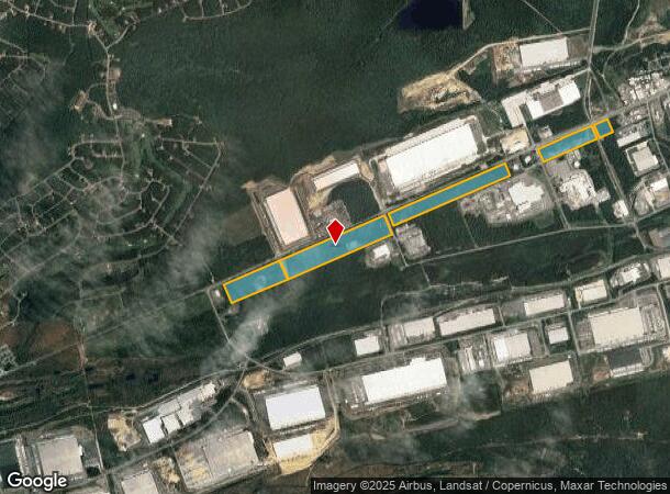
Maplewood Dr
Scranton--Wilkes-Barre--Hazelton, PA
Lands Of New Age Development Inc
26-U6-00A-018-000
26-C-R2-559-D1-1-D1 MAPLEWOOD DR
Commercialacreage
Luzerne
X
Pennsylvania
42107C0062E
18
2025
72.11 AC
2025
I-81 Corridor
217900
Philadelphia
DEMOGRAPHICS near Maplewood Dr
1 Mile
3 Mile
5 Mile
2024 Total Population
209
1,707
13,327
2029 Population
213
1,651
13,051
Pop Growth 2024-2029
+ 1.91%
(3.28%)
(2.07%)
Average Age
45
46
42
2024 Total Households
85
727
5,433
HH Growth 2024-2029
+ 2.35%
(3.30%)
(2.26%)
Median Household Inc
$48,541
$59,393
$61,015
Avg Household Size
2.40
2.30
2.40
2024 Avg HH Vehicles
2.00
2.00
2.00
Median Home Value
$164,999
$165,447
$151,496
Median Year Built
1969
1969
1958
Nearby Places
Map Layers
Map Styles
 Street
 Aerial
- Restaurants
- Banks
- Shops
- Fitness
- Groceries
Nearby Properties
Address
Land Use
TOTAL SIZE
Lot Size
Zoning
Address
Land Use
TOTAL SIZE
Lot Size
Zoning
91.51 AC
Address
Land Use
TOTAL SIZE
Lot Size
Zoning
127.72 AC
Address
Land Use
TOTAL SIZE
Lot Size
Zoning
30.99 AC
Address
Land Use
TOTAL SIZE
Lot Size
Zoning
48.28 AC
Address
Land Use
TOTAL SIZE
Lot Size
Zoning
48.94 AC
Address
Land Use
TOTAL SIZE
Lot Size
Zoning
54.08 AC
Address
Land Use
TOTAL SIZE
Lot Size
Zoning
65 AC
Address
Land Use
TOTAL SIZE
Lot Size
Zoning
34.01 AC
Address
Land Use
TOTAL SIZE
Lot Size
Zoning
41.12 AC
Address
Land Use
TOTAL SIZE
Lot Size
Zoning
48.47 AC
Address
Land Use
TOTAL SIZE
Lot Size
Zoning
32.57 AC
Address
Land Use
TOTAL SIZE
Lot Size
Zoning
73.81 AC
Address
Land Use
TOTAL SIZE
Lot Size
Zoning
16.35 AC
Address
Land Use
TOTAL SIZE
Lot Size
Zoning
61.33 AC
Address
Land Use
TOTAL SIZE
Lot Size
Zoning
43.32 AC
Address
Land Use
TOTAL SIZE
Lot Size
Zoning
Address
Land Use
TOTAL SIZE
Lot Size
Zoning
19.90 AC
Address
Land Use
TOTAL SIZE
Lot Size
Zoning
22.96 AC
Address
Land Use
TOTAL SIZE
Lot Size
Zoning
Address
Land Use
TOTAL SIZE
Lot Size
Zoning
19.48 AC
Address
Land Use
TOTAL SIZE
Lot Size
Zoning
332,820 SF
61.42 AC
Address
Land Use
TOTAL SIZE
Lot Size
Zoning
41.03 AC
Address
Land Use
TOTAL SIZE
Lot Size
Zoning
17.22 AC
Address
Land Use
TOTAL SIZE
Lot Size
Zoning
9.67 AC
Address
Land Use
TOTAL SIZE
Lot Size
Zoning
Address
Land Use
TOTAL SIZE
Lot Size
Zoning
22.78 AC
Address
Land Use
TOTAL SIZE
Lot Size
Zoning
13.70 AC
Address
Land Use
TOTAL SIZE
Lot Size
Zoning
7.24 AC
Address
Land Use
TOTAL SIZE
Lot Size
Zoning
4,250 SF
50.96 AC
Address
Land Use
TOTAL SIZE
Lot Size
Zoning
The World's #1 Commercial Real Estate Marketplace
Connect with us
© 2026 CoStar Group
The information above has been obtained from sources believed reliable. While we do not doubt its accuracy we have not verified it and make no guarantee, warranty or representation about it. It is your responsibility to independently confirm its accuracy and completeness. Any projections, opinions, assumptions, or estimates used are for example only and do not represent the current or future performance of the property. The value of this transaction to you depends on tax and other factors which should be evaluated by your tax, financial, and legal advisors. You and your advisors should conduct a careful, independent investigation of the property to determine to your satisfaction the suitability of the property for your needs.