Property Record
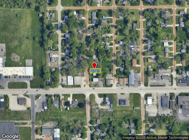
Mccullum Ave, Flint, MI 48504

NEARBY LISTINGS FOR SALE OR LEASE
Property Detail
Mccullum Ave
Flint, MI
Washington Park Subdivision
14-34-577-100
LOT 184 WASHINGTON PARK SUBDIVISION
Commercialnec
Genesee
X
Michigan
26049C0186D
184
2024
0.09 AC
2025
Flint
000900
Detroit
DEMOGRAPHICS near Mccullum Ave
1 Mile
3 Mile
5 Mile
2024 Total Population
8,471
66,371
135,174
2029 Population
8,734
68,227
136,871
Pop Growth 2024-2029
+ 3.10%
+ 2.80%
+ 1.26%
Average Age
40
40
40
2024 Total Households
3,440
27,724
56,079
HH Growth 2024-2029
+ 3.34%
+ 2.81%
+ 1.20%
Median Household Inc
$36,596
$35,415
$37,348
Avg Household Size
2.30
2.30
2.30
2024 Avg HH Vehicles
1.00
1.00
1.00
Median Home Value
$60,419
$68,000
$75,497
Median Year Built
1958
1961
1960
Nearby Places
Map Layers
Map Styles
 Street
 Aerial
- Restaurants
- Banks
- Shops
- Fitness
- Groceries
PUBLIC TRANSPORTATION
COMMUTER RAIL
DRIVE
WALK
Distance
15 min
6.5 mi
AIRPORT
Bishop International
DRIVE
WALK
Distance
Bishop International
25 min
9.7 mi
MBS International
DRIVE
WALK
Distance
MBS International
63 min
47.5 mi
SALE & LEASE HISTORY
LISTING DATE
SALE/LEASE

Sep 24, 2016
For Sale
Nearby Properties
Address
Land Use
TOTAL SIZE
Lot Size
Zoning
Address
Land Use
TOTAL SIZE
Lot Size
Zoning
101,590 SF
5.54 AC
Address
Land Use
TOTAL SIZE
Lot Size
Zoning
54,651 SF
3.06 AC
Address
Land Use
TOTAL SIZE
Lot Size
Zoning
571,389 SF
584 AC
Address
Land Use
TOTAL SIZE
Lot Size
Zoning
59,232 SF
3.65 AC
Address
Land Use
TOTAL SIZE
Lot Size
Zoning
329,849 SF
21.20 AC
CE
Address
Land Use
TOTAL SIZE
Lot Size
Zoning
247,555 SF
198 AC
Address
Land Use
TOTAL SIZE
Lot Size
Zoning
156,250 SF
Address
Land Use
TOTAL SIZE
Lot Size
Zoning
23,500 SF
4.96 AC
Address
Land Use
TOTAL SIZE
Lot Size
Zoning
290,502 SF
272.83 AC
Address
Land Use
TOTAL SIZE
Lot Size
Zoning
10,212 SF
2.60 AC
UC
Address
Land Use
TOTAL SIZE
Lot Size
Zoning
182,408 SF
Address
Land Use
TOTAL SIZE
Lot Size
Zoning
157,068 SF
160 AC
Address
Land Use
TOTAL SIZE
Lot Size
Zoning
11.97 AC
Address
Land Use
TOTAL SIZE
Lot Size
Zoning
403,803 SF
252 AC
Address
Land Use
TOTAL SIZE
Lot Size
Zoning
123,170 SF
3.41 AC
DE
Address
Land Use
TOTAL SIZE
Lot Size
Zoning
10.30 AC
Address
Land Use
TOTAL SIZE
Lot Size
Zoning
Address
Land Use
TOTAL SIZE
Lot Size
Zoning
203,200 SF
0.92 AC
DE
Address
Land Use
TOTAL SIZE
Lot Size
Zoning
44,864 SF
5.54 AC
Address
Land Use
TOTAL SIZE
Lot Size
Zoning
59,173 SF
11.43 AC
Address
Land Use
TOTAL SIZE
Lot Size
Zoning
Address
Land Use
TOTAL SIZE
Lot Size
Zoning
242,560 SF
0.55 AC
DE
Address
Land Use
TOTAL SIZE
Lot Size
Zoning
224,263 SF
24.98 AC
CC
Address
Land Use
TOTAL SIZE
Lot Size
Zoning
22,792 SF
3.89 AC
Address
Land Use
TOTAL SIZE
Lot Size
Zoning
11.12 AC
Address
Land Use
TOTAL SIZE
Lot Size
Zoning
101,744 SF
4.90 AC
TN-2
Address
Land Use
TOTAL SIZE
Lot Size
Zoning
33.39 AC
Address
Land Use
TOTAL SIZE
Lot Size
Zoning
26,106 SF
2.53 AC
Address
Land Use
TOTAL SIZE
Lot Size
Zoning
13,296 SF
2.79 AC
Address
Land Use
TOTAL SIZE
Lot Size
Zoning
9.46 AC
The World's #1 Commercial Real Estate Marketplace
Connect with us
© 2026 CoStar Group
The information above has been obtained from sources believed reliable. While we do not doubt its accuracy we have not verified it and make no guarantee, warranty or representation about it. It is your responsibility to independently confirm its accuracy and completeness. Any projections, opinions, assumptions, or estimates used are for example only and do not represent the current or future performance of the property. The value of this transaction to you depends on tax and other factors which should be evaluated by your tax, financial, and legal advisors. You and your advisors should conduct a careful, independent investigation of the property to determine to your satisfaction the suitability of the property for your needs.