Property Record
Mesquite Rd, Apple Valley, CA 92307


NEARBY LISTINGS FOR SALE OR LEASE
Property Detail
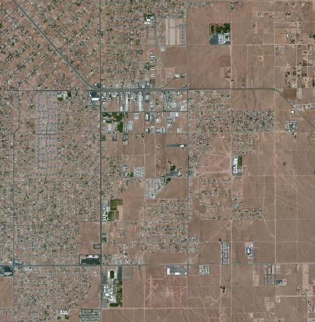
Mesquite Rd
Riverside-San Bernardino-Ontario, CA
E 1/2 S 1/2 SW 1/4 SEC 26 TP 5N R 3W
0439-421-33
San Bernardino
Vacantlandnec
California
D
22
06071C6510H
40 AC
2024
Mojave River Valley
2025
Inland Empire (California)
009714
DEMOGRAPHICS near Mesquite Rd
1 Mile
3 Mile
5 Mile
2024 Total Population
4,229
31,046
65,652
2029 Population
4,350
31,581
66,758
Pop Growth 2024-2029
+ 2.86%
+ 1.72%
+ 1.68%
Average Age
37
37
39
2024 Total Households
1,424
9,911
21,942
HH Growth 2024-2029
+ 2.81%
+ 1.73%
+ 1.67%
Median Household Inc
$47,500
$55,217
$65,097
Avg Household Size
2.90
3.10
2.90
2024 Avg HH Vehicles
2.00
2.00
2.00
Median Home Value
$227,224
$287,390
$350,965
Median Year Built
1985
1984
1985
Nearby Places
Map Layers
Map Styles
 Street
 Aerial
- Restaurants
- Banks
- Shops
- Fitness
- Groceries
PUBLIC TRANSPORTATION
COMMUTER RAIL
DRIVE
WALK
Distance
16 min
9.6 mi
SALE & LEASE HISTORY
LISTING DATE
SALE/LEASE

Dec 18, 2020
For Sale
Apr 27, 2024
For Sale
Nearby Properties
Address
Land Use
TOTAL SIZE
Lot Size
Zoning
Address
Land Use
TOTAL SIZE
Lot Size
Zoning
116,365 SF
8.93 AC
Address
Land Use
TOTAL SIZE
Lot Size
Zoning
75,280 SF
4.07 AC
Address
Land Use
TOTAL SIZE
Lot Size
Zoning
14,739 SF
1.38 AC
Address
Land Use
TOTAL SIZE
Lot Size
Zoning
16,804 SF
1.80 AC
Address
Land Use
TOTAL SIZE
Lot Size
Zoning
35,178 SF
3.44 AC
Address
Land Use
TOTAL SIZE
Lot Size
Zoning
22,488 SF
3.05 AC
Address
Land Use
TOTAL SIZE
Lot Size
Zoning
86,148 SF
5.38 AC
Address
Land Use
TOTAL SIZE
Lot Size
Zoning
4,998 SF
2.76 AC
Address
Land Use
TOTAL SIZE
Lot Size
Zoning
55,415 SF
2.91 AC
Address
Land Use
TOTAL SIZE
Lot Size
Zoning
53,972 SF
4.80 AC
Address
Land Use
TOTAL SIZE
Lot Size
Zoning
3,500 SF
0.51 AC
Address
Land Use
TOTAL SIZE
Lot Size
Zoning
22,700 SF
6.19 AC
Address
Land Use
TOTAL SIZE
Lot Size
Zoning
60.38 AC
Address
Land Use
TOTAL SIZE
Lot Size
Zoning
37,521 SF
24.52 AC
Address
Land Use
TOTAL SIZE
Lot Size
Zoning
9,545 SF
0.52 AC
Address
Land Use
TOTAL SIZE
Lot Size
Zoning
8,970 SF
0.78 AC
Address
Land Use
TOTAL SIZE
Lot Size
Zoning
15,885 SF
4.38 AC
Address
Land Use
TOTAL SIZE
Lot Size
Zoning
870 SF
0.79 AC
Address
Land Use
TOTAL SIZE
Lot Size
Zoning
31,524 SF
2.94 AC
Address
Land Use
TOTAL SIZE
Lot Size
Zoning
15,740 SF
4.23 AC
Address
Land Use
TOTAL SIZE
Lot Size
Zoning
12,320 SF
0.92 AC
Address
Land Use
TOTAL SIZE
Lot Size
Zoning
2,247 SF
0.73 AC
Address
Land Use
TOTAL SIZE
Lot Size
Zoning
21,050 SF
1.45 AC
Address
Land Use
TOTAL SIZE
Lot Size
Zoning
28,200 SF
2.50 AC
Address
Land Use
TOTAL SIZE
Lot Size
Zoning
12,505 SF
4.84 AC
Address
Land Use
TOTAL SIZE
Lot Size
Zoning
19,590 SF
2.19 AC
Address
Land Use
TOTAL SIZE
Lot Size
Zoning
19,140 SF
1.84 AC
Address
Land Use
TOTAL SIZE
Lot Size
Zoning
12,483 SF
1.80 AC
Address
Land Use
TOTAL SIZE
Lot Size
Zoning
11,714 SF
0.90 AC
Address
Land Use
TOTAL SIZE
Lot Size
Zoning
13,000 SF
0.96 AC
The World's #1 Commercial Real Estate Marketplace
Connect with us
© 2025 CoStar Group
The information above has been obtained from sources believed reliable. While we do not doubt its accuracy we have not verified it and make no guarantee, warranty or representation about it. It is your responsibility to independently confirm its accuracy and completeness. Any projections, opinions, assumptions, or estimates used are for example only and do not represent the current or future performance of the property. The value of this transaction to you depends on tax and other factors which should be evaluated by your tax, financial, and legal advisors. You and your advisors should conduct a careful, independent investigation of the property to determine to your satisfaction the suitability of the property for your needs.