Property Record
3204 Walnut Grove Pl, Flower Mound, TX 75022
This Property Is For Sale
Property Detail
3204 Walnut Grove Pl
Dallas-Fort Worth-Arlington, TX
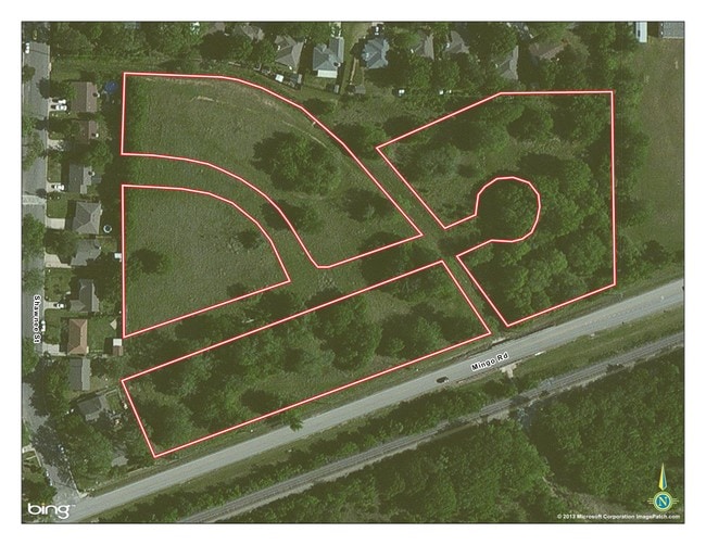
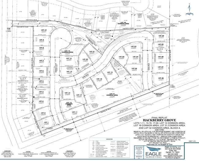
Walnut Grove Addition
R192938
SEQUOIA PARK EXT 1 BLK 5 LOT 21(NE PT) ACRES 0.26 2/176-T // LILLY SUR AB 762
Sfr
Denton
X
Texas
48121C0540G
21
2024
0.14 AC
2025
Denton
020601
Dallas/Ft Worth
3,166 SF
NEARBY LISTINGS FOR SALE OR LEASE
-
-
-
-
2460-2554 Central Park Avenue & 4460 N River Walk
Flower Mound, TX 75028
Rent Upon Request
2.68 AC Lots
Land
-
-
-
-
View all Flower Mound listings for sale on LoopNet.com
DEMOGRAPHICS near 3204 Walnut Grove Pl
1 mile
3 mile
5 mile
2024 Total Population
13,106
91,088
141,674
2029 Population
15,801
110,189
171,596
Pop Growth 2024-2029
+ 20.56%
+ 20.97%
+ 21.12%
Average Age
38
35
35
2024 Total Households
4,990
36,762
55,899
HH Growth 2024-2029
+ 21.10%
+ 21.96%
+ 22.06%
Median Household Inc
$71,508
$50,801
$56,973
Avg Household Size
2.50
2.30
2.30
2024 Avg HH Vehicles
2.00
2.00
2.00
Median Home Value
$261,573
$245,677
$272,696
Median Year Built
1984
1987
1992
Nearby Places
Map Layers
Map Styles
 Street
 Aerial
Transit
 Traffic
 Biking
Places
Listings with unknown addresses are not visible on the map
- Restaurants
- Banks
- Shops
- Fitness
- Groceries
PUBLIC TRANSPORTATION
COMMUTER RAIL
Old Town Station (A-train - Denton County Transportation Authority)
Drive
Walk
Distance
Old Town Station (A-train - Denton County Transportation Authority)
13 min
6.6 mi
Highland Village/Lewisville Lake Station (A-train - Denton County Transportation Authority)
Drive
Walk
Distance
Highland Village/Lewisville Lake Station (A-train - Denton County Transportation Authority)
14 min
7.8 mi
AIRPORT
Dallas-Fort Worth International
Drive
Walk
Distance
Dallas-Fort Worth International
18 min
11.0 mi
Dallas Love Field
Drive
Walk
Distance
Dallas Love Field
37 min
24.5 mi
Freight Ports
Port of Shreveport
Drive
Walk
Distance
Port of Shreveport
242 min
222.7 mi
Nearby Properties
Address
Land Use
TOTAL SIZE
Lot Size
Zoning
Address
Land Use
TOTAL SIZE
Lot Size
Zoning
478,148 SF
57.44 AC
Address
Land Use
TOTAL SIZE
Lot Size
Zoning
428,117 SF
67.02 AC
Address
Land Use
TOTAL SIZE
Lot Size
Zoning
531,979 SF
4.54 AC
Address
Land Use
TOTAL SIZE
Lot Size
Zoning
309,498 SF
9.57 AC
Address
Land Use
TOTAL SIZE
Lot Size
Zoning
282,766 SF
9 AC
Address
Land Use
TOTAL SIZE
Lot Size
Zoning
231,043 SF
11.89 AC
Address
Land Use
TOTAL SIZE
Lot Size
Zoning
371,268 SF
7.45 AC
Address
Land Use
TOTAL SIZE
Lot Size
Zoning
226,888 SF
5.62 AC
Address
Land Use
TOTAL SIZE
Lot Size
Zoning
302,183 SF
15.50 AC
7G
Address
Land Use
TOTAL SIZE
Lot Size
Zoning
285,996 SF
13.88 AC
7G
Address
Land Use
TOTAL SIZE
Lot Size
Zoning
226,871 SF
6.22 AC
Address
Land Use
TOTAL SIZE
Lot Size
Zoning
262,035 SF
10.88 AC
Address
Land Use
TOTAL SIZE
Lot Size
Zoning
199,049 SF
28.96 AC
Address
Land Use
TOTAL SIZE
Lot Size
Zoning
241,095 SF
13.02 AC
Address
Land Use
TOTAL SIZE
Lot Size
Zoning
480,400 SF
26.61 AC
Address
Land Use
TOTAL SIZE
Lot Size
Zoning
465,860 SF
26.80 AC
Address
Land Use
TOTAL SIZE
Lot Size
Zoning
401,600 SF
23.07 AC
Address
Land Use
TOTAL SIZE
Lot Size
Zoning
240,886 SF
6.65 AC
Address
Land Use
TOTAL SIZE
Lot Size
Zoning
327,800 SF
23.74 AC
Address
Land Use
TOTAL SIZE
Lot Size
Zoning
214,415 SF
1.16 AC
Address
Land Use
TOTAL SIZE
Lot Size
Zoning
156,748 SF
4.26 AC
Address
Land Use
TOTAL SIZE
Lot Size
Zoning
154,756 SF
15.12 AC
7G
Address
Land Use
TOTAL SIZE
Lot Size
Zoning
148,458 SF
14.69 AC
Address
Land Use
TOTAL SIZE
Lot Size
Zoning
135,394 SF
14.48 AC
Address
Land Use
TOTAL SIZE
Lot Size
Zoning
168,897 SF
11.62 AC
7G
Address
Land Use
TOTAL SIZE
Lot Size
Zoning
122,000 SF
3.09 AC
Address
Land Use
TOTAL SIZE
Lot Size
Zoning
310,224 SF
20.35 AC
Address
Land Use
TOTAL SIZE
Lot Size
Zoning
125,237 SF
35.93 AC
Address
Land Use
TOTAL SIZE
Lot Size
Zoning
289,428 SF
16.75 AC
The World's #1 Commercial Real Estate Marketplace
Connect with us
© 2026 CoStar Group
The information above has been obtained from sources believed reliable. While we do not doubt its accuracy we have not verified it and make no guarantee, warranty or representation about it. It is your responsibility to independently confirm its accuracy and completeness. Any projections, opinions, assumptions, or estimates used are for example only and do not represent the current or future performance of the property. The value of this transaction to you depends on tax and other factors which should be evaluated by your tax, financial, and legal advisors. You and your advisors should conduct a careful, independent investigation of the property to determine to your satisfaction the suitability of the property for your needs.