Property Record
Montello St, Carver, MA 02330

Save to a Folder
{{folder.Name}}
{{folder.ListingIds.length}} Properties
{{folder.ListingIds.length}} Property
Create a New Folder
Property Detail
Montello St
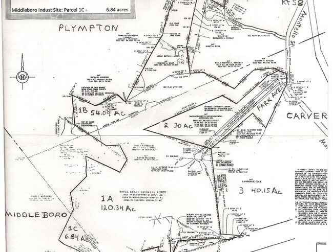
CARV-000023-000000-000003-000003
PLYMOUTH
Nonbuildableland
Massachusetts
RA
0.74 AC
B and X Area of moderate flood hazard, usually the area between the limits of the 100-year and 500-year floods.
Route 3 South
2025
Boston
2025
Boston-Cambridge-Newton, MA-NH
544200
NEARBY LISTINGS FOR SALE OR LEASE
-
-
View all Carver listings for sale on LoopNet.com
DEMOGRAPHICS near Montello St
1 mile
3 mile
5 mile
2025 Total Population
579
8,962
29,387
2030 Population
585
9,097
29,912
Pop Growth 2025-2030
+ 1.04%
+ 1.51%
+ 1.79%
Average Age
43
42
44
2025 Total Households
203
3,087
11,024
HH Growth 2025-2030
+ 0.99%
+ 1.43%
+ 1.69%
Median Household Inc
$117,592
$109,048
$96,046
Avg Household Size
2.90
2.80
2.60
2025 Avg HH Vehicles
3.00
2.00
2.00
Median Home Value
$550,000
$504,197
$488,414
Median Year Built
1978
1978
1981
Nearby Places
Map Layers
Map Styles
 Street
 Aerial
Layers
 Traffic
 Biking
Places
Listings with unknown addresses are not visible on the map
- Restaurants
- Banks
- Shops
- Fitness
- Groceries
PUBLIC TRANSPORTATION
COMMUTER RAIL
Halifax (Kingston/Plymouth Line - Massachusetts Bay Transportation Authority Commuter Rail (Purple Line))
Drive
Walk
Distance
Halifax (Kingston/Plymouth Line - Massachusetts Bay Transportation Authority Commuter Rail (Purple Line))
15 min
7.4 mi
Kingston/Route 3 (Kingston/Plymouth Line - Massachusetts Bay Transportation Authority Commuter Rail (Purple Line))
Drive
Walk
Distance
Kingston/Route 3 (Kingston/Plymouth Line - Massachusetts Bay Transportation Authority Commuter Rail (Purple Line))
17 min
9.0 mi
Freight Ports
Port of New Bedford Harbor
Drive
Walk
Distance
Port of New Bedford Harbor
44 min
29.8 mi
Nearby Properties
Address
Land Use
TOTAL SIZE
Lot Size
Zoning
Address
Land Use
TOTAL SIZE
Lot Size
Zoning
82.62 AC
I
Address
Land Use
TOTAL SIZE
Lot Size
Zoning
15.13 AC
HC
Address
Land Use
TOTAL SIZE
Lot Size
Zoning
68,240 SF
10 AC
R1
Address
Land Use
TOTAL SIZE
Lot Size
Zoning
33.98 AC
RA
Address
Land Use
TOTAL SIZE
Lot Size
Zoning
45.45 AC
I
Address
Land Use
TOTAL SIZE
Lot Size
Zoning
227 AC
HC
Address
Land Use
TOTAL SIZE
Lot Size
Zoning
76,134 SF
HC
Address
Land Use
TOTAL SIZE
Lot Size
Zoning
5.90 AC
C
Address
Land Use
TOTAL SIZE
Lot Size
Zoning
12.57 AC
RA
Address
Land Use
TOTAL SIZE
Lot Size
Zoning
29.50 AC
HC
Address
Land Use
TOTAL SIZE
Lot Size
Zoning
2,911 SF
123.74 AC
RA
Address
Land Use
TOTAL SIZE
Lot Size
Zoning
6.82 AC
IC
Address
Land Use
TOTAL SIZE
Lot Size
Zoning
1.20 AC
R1
Address
Land Use
TOTAL SIZE
Lot Size
Zoning
22,030 SF
3.73 AC
HC
Address
Land Use
TOTAL SIZE
Lot Size
Zoning
2,653 SF
B
Address
Land Use
TOTAL SIZE
Lot Size
Zoning
14,182 SF
6.49 AC
Address
Land Use
TOTAL SIZE
Lot Size
Zoning
26,729 SF
2.84 AC
VB
Address
Land Use
TOTAL SIZE
Lot Size
Zoning
3.76 AC
IC
Address
Land Use
TOTAL SIZE
Lot Size
Zoning
2.76 AC
GB
Address
Land Use
TOTAL SIZE
Lot Size
Zoning
1.90 AC
SSI
Address
Land Use
TOTAL SIZE
Lot Size
Zoning
97.20 AC
RA
Address
Land Use
TOTAL SIZE
Lot Size
Zoning
39.70 AC
I
Address
Land Use
TOTAL SIZE
Lot Size
Zoning
3 AC
IC
Address
Land Use
TOTAL SIZE
Lot Size
Zoning
3.01 AC
IC
Address
Land Use
TOTAL SIZE
Lot Size
Zoning
3,195 SF
7.84 AC
RA
Address
Land Use
TOTAL SIZE
Lot Size
Zoning
1,088 SF
202.01 AC
R1
Address
Land Use
TOTAL SIZE
Lot Size
Zoning
29.54 AC
AR
Address
Land Use
TOTAL SIZE
Lot Size
Zoning
6,640 SF
2.91 AC
VB
Address
Land Use
TOTAL SIZE
Lot Size
Zoning
87.39 AC
Address
Land Use
TOTAL SIZE
Lot Size
Zoning
4,272 SF
3.42 AC
HC
The World's #1 Commercial Real Estate Marketplace
Connect with us
© 2026 CoStar Group
The information above has been obtained from sources believed reliable. While we do not doubt its accuracy we have not verified it and make no guarantee, warranty or representation about it. It is your responsibility to independently confirm its accuracy and completeness. Any projections, opinions, assumptions, or estimates used are for example only and do not represent the current or future performance of the property. The value of this transaction to you depends on tax and other factors which should be evaluated by your tax, financial, and legal advisors. You and your advisors should conduct a careful, independent investigation of the property to determine to your satisfaction the suitability of the property for your needs.