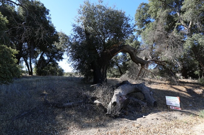
Property Record
Montezuma Valley Rd, Ranchita, CA 92066


Save to a Folder
{{folder.Name}}
{{folder.ListingIds.length}} Properties
{{folder.ListingIds.length}} Property
Create a New Folder
Property Detail
Montezuma Valley Rd
196-150-39
SEC 23-11-4E NEQ (EX ST)W H OF E H OF
Vacantlandnec
SAN DIEGO
A70
California
D Areas with possible but undetermined flood hazards.
39.40 AC
2024
Outlying SD County N
2025
San Diego
020903
San Diego-Chula Vista-Carlsbad, CA
NEARBY LISTINGS FOR SALE OR LEASE
-
-
View all Ranchita listings for sale on LoopNet.com
DEMOGRAPHICS near Montezuma Valley Rd
1 mile
3 mile
5 mile
2025 Total Population
146
469
526
2030 Population
138
444
497
Pop Growth 2025-2030
(5.48%)
(5.33%)
(5.51%)
Average Age
47
47
47
2025 Total Households
60
192
215
HH Growth 2025-2030
(6.67%)
(5.73%)
(6.05%)
Median Household Inc
$66,562
$65,000
$64,250
Avg Household Size
2.40
2.40
2.40
2025 Avg HH Vehicles
2.00
2.00
2.00
Median Home Value
$583,333
$583,333
$596,591
Median Year Built
1980
1980
1980
Nearby Places
Map Layers
Map Styles
 Street
 Aerial
Layers
 Traffic
 Biking
Places
Listings with unknown addresses are not visible on the map
- Restaurants
- Banks
- Shops
- Fitness
- Groceries
SALE & LEASE HISTORY
LISTING DATE
SALE/LEASE

Nov 02, 2018
For Sale
Nearby Properties
Address
Land Use
TOTAL SIZE
Lot Size
Zoning
Address
Land Use
TOTAL SIZE
Lot Size
Zoning
3,388 SF
4.85 AC
A70
Address
Land Use
TOTAL SIZE
Lot Size
Zoning
129.55 AC
A
Address
Land Use
TOTAL SIZE
Lot Size
Zoning
18.39 AC
A70
Address
Land Use
TOTAL SIZE
Lot Size
Zoning
160 AC
A70
Address
Land Use
TOTAL SIZE
Lot Size
Zoning
37.16 AC
A70
Address
Land Use
TOTAL SIZE
Lot Size
Zoning
0.81 AC
A70
Address
Land Use
TOTAL SIZE
Lot Size
Zoning
2,000 SF
8.45 AC
A70
Address
Land Use
TOTAL SIZE
Lot Size
Zoning
1,326 SF
150.78 AC
A70
Address
Land Use
TOTAL SIZE
Lot Size
Zoning
40 AC
A70
Address
Land Use
TOTAL SIZE
Lot Size
Zoning
78.79 AC
A70
Address
Land Use
TOTAL SIZE
Lot Size
Zoning
2,324 SF
4.70 AC
C40
Address
Land Use
TOTAL SIZE
Lot Size
Zoning
39.40 AC
A70
Address
Land Use
TOTAL SIZE
Lot Size
Zoning
80 AC
A70
Address
Land Use
TOTAL SIZE
Lot Size
Zoning
40.60 AC
A70
Address
Land Use
TOTAL SIZE
Lot Size
Zoning
2,316 SF
28.42 AC
A70
Address
Land Use
TOTAL SIZE
Lot Size
Zoning
3,005 SF
3.10 AC
A70
Address
Land Use
TOTAL SIZE
Lot Size
Zoning
9.70 AC
A70
Address
Land Use
TOTAL SIZE
Lot Size
Zoning
40 AC
A70
Address
Land Use
TOTAL SIZE
Lot Size
Zoning
80 AC
A70
Address
Land Use
TOTAL SIZE
Lot Size
Zoning
1,017 SF
20 AC
A70
Address
Land Use
TOTAL SIZE
Lot Size
Zoning
39.89 AC
A70
Address
Land Use
TOTAL SIZE
Lot Size
Zoning
39.88 AC
A70
Address
Land Use
TOTAL SIZE
Lot Size
Zoning
82.22 AC
A70
Address
Land Use
TOTAL SIZE
Lot Size
Zoning
40 AC
A70
Address
Land Use
TOTAL SIZE
Lot Size
Zoning
18.78 AC
A70
Address
Land Use
TOTAL SIZE
Lot Size
Zoning
40 AC
A70
Address
Land Use
TOTAL SIZE
Lot Size
Zoning
40 AC
A70
Address
Land Use
TOTAL SIZE
Lot Size
Zoning
19.17 AC
A70
Address
Land Use
TOTAL SIZE
Lot Size
Zoning
80 AC
A70
The World's #1 Commercial Real Estate Marketplace
Connect with us
© 2026 CoStar Group
The information above has been obtained from sources believed reliable. While we do not doubt its accuracy we have not verified it and make no guarantee, warranty or representation about it. It is your responsibility to independently confirm its accuracy and completeness. Any projections, opinions, assumptions, or estimates used are for example only and do not represent the current or future performance of the property. The value of this transaction to you depends on tax and other factors which should be evaluated by your tax, financial, and legal advisors. You and your advisors should conduct a careful, independent investigation of the property to determine to your satisfaction the suitability of the property for your needs.