Property Record
Moses St, Carson City, NV 89703


Property Detail
Moses St
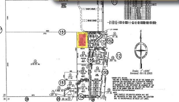
009-151-50
L L ADJ #170167 R/S #2080
Multifamilyacreage
CARSON CITY
GO-CR
Nevada
B and X Area of moderate flood hazard, usually the area between the limits of the 100-year and 500-year floods.
7.94 AC
2025
Carson City County
2025
Reno/Sparks
000200
Carson City, NV
NEARBY LISTINGS FOR SALE OR LEASE
DEMOGRAPHICS near Moses St
1 mile
3 mile
5 mile
2025 Total Population
4,928
31,631
64,190
2030 Population
4,929
31,623
64,102
Pop Growth 2025-2030
+ 0.02%
(0.03%)
(0.14%)
Average Age
45
45
44
2025 Total Households
2,107
12,674
25,882
HH Growth 2025-2030
(0.33%)
+ 0.10%
(0.13%)
Median Household Inc
$77,473
$76,202
$71,958
Avg Household Size
2.30
2.30
2.30
2025 Avg HH Vehicles
2.00
2.00
2.00
Median Home Value
$425,373
$478,044
$457,816
Median Year Built
1980
1981
1983
Nearby Places
Map Layers
Map Styles
 Street
 Aerial
Transit
 Traffic
 Biking
Places
Listings with unknown addresses are not visible on the map
- Restaurants
- Banks
- Shops
- Fitness
- Groceries
PUBLIC TRANSPORTATION
AIRPORT
Reno/Tahoe International
Drive
Walk
Distance
Reno/Tahoe International
58 min
33.5 mi
Freight Ports
Port of Stockton
Drive
Walk
Distance
Port of Stockton
216 min
149.3 mi
SALE & LEASE HISTORY
LISTING DATE
SALE/LEASE

Nov 19, 2018
For Sale
Nearby Properties
Address
Land Use
TOTAL SIZE
Lot Size
Zoning
Address
Land Use
TOTAL SIZE
Lot Size
Zoning
395,706 SF
998.20 AC
A-P
Address
Land Use
TOTAL SIZE
Lot Size
Zoning
351,100 SF
22.10 AC
MFA-GC
Address
Land Use
TOTAL SIZE
Lot Size
Zoning
428,691 SF
10.40 AC
P
Address
Land Use
TOTAL SIZE
Lot Size
Zoning
356,776 SF
64.42 AC
P
Address
Land Use
TOTAL SIZE
Lot Size
Zoning
175,233 SF
5.88 AC
PR
Address
Land Use
TOTAL SIZE
Lot Size
Zoning
1.24 AC
PR
Address
Land Use
TOTAL SIZE
Lot Size
Zoning
272,519 SF
102.35 AC
P
Address
Land Use
TOTAL SIZE
Lot Size
Zoning
144,231 SF
25.73 AC
P
Address
Land Use
TOTAL SIZE
Lot Size
Zoning
230,573 SF
21.37 AC
Address
Land Use
TOTAL SIZE
Lot Size
Zoning
3,120 SF
6.12 AC
NB
Address
Land Use
TOTAL SIZE
Lot Size
Zoning
1,680 SF
600 AC
CR
Address
Land Use
TOTAL SIZE
Lot Size
Zoning
92,560 SF
4.93 AC
MFA
Address
Land Use
TOTAL SIZE
Lot Size
Zoning
157,914 SF
7.15 AC
PR
Address
Land Use
TOTAL SIZE
Lot Size
Zoning
199,052 SF
7.46 AC
GC
Address
Land Use
TOTAL SIZE
Lot Size
Zoning
8,000 SF
413.63 AC
PC
Address
Land Use
TOTAL SIZE
Lot Size
Zoning
224,615 SF
21.47 AC
Address
Land Use
TOTAL SIZE
Lot Size
Zoning
287,038 SF
49.20 AC
P
Address
Land Use
TOTAL SIZE
Lot Size
Zoning
116,494 SF
16.39 AC
P
Address
Land Use
TOTAL SIZE
Lot Size
Zoning
87,992 SF
4.13 AC
P
Address
Land Use
TOTAL SIZE
Lot Size
Zoning
138,001 SF
2.20 AC
P
Address
Land Use
TOTAL SIZE
Lot Size
Zoning
113,007 SF
52.90 AC
PR
Address
Land Use
TOTAL SIZE
Lot Size
Zoning
4,685 SF
49.08 AC
PR
Address
Land Use
TOTAL SIZE
Lot Size
Zoning
49,959 SF
61.75 AC
Address
Land Use
TOTAL SIZE
Lot Size
Zoning
160 AC
PR
Address
Land Use
TOTAL SIZE
Lot Size
Zoning
125,780 SF
28.21 AC
P
Address
Land Use
TOTAL SIZE
Lot Size
Zoning
148,474 SF
16.08 AC
GC
Address
Land Use
TOTAL SIZE
Lot Size
Zoning
135,232 SF
11.46 AC
RC
Address
Land Use
TOTAL SIZE
Lot Size
Zoning
118,660 SF
6.73 AC
P
Address
Land Use
TOTAL SIZE
Lot Size
Zoning
20,800 SF
2.90 AC
GC
The World's #1 Commercial Real Estate Marketplace
Connect with us
© 2026 CoStar Group
The information above has been obtained from sources believed reliable. While we do not doubt its accuracy we have not verified it and make no guarantee, warranty or representation about it. It is your responsibility to independently confirm its accuracy and completeness. Any projections, opinions, assumptions, or estimates used are for example only and do not represent the current or future performance of the property. The value of this transaction to you depends on tax and other factors which should be evaluated by your tax, financial, and legal advisors. You and your advisors should conduct a careful, independent investigation of the property to determine to your satisfaction the suitability of the property for your needs.