Property Record
Muirfield Dr, Winslow, NJ 08095

Save to a Folder
{{folder.Name}}
{{folder.ListingIds.length}} Properties
{{folder.ListingIds.length}} Property
Create a New Folder
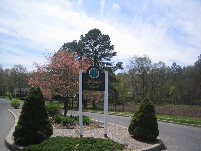
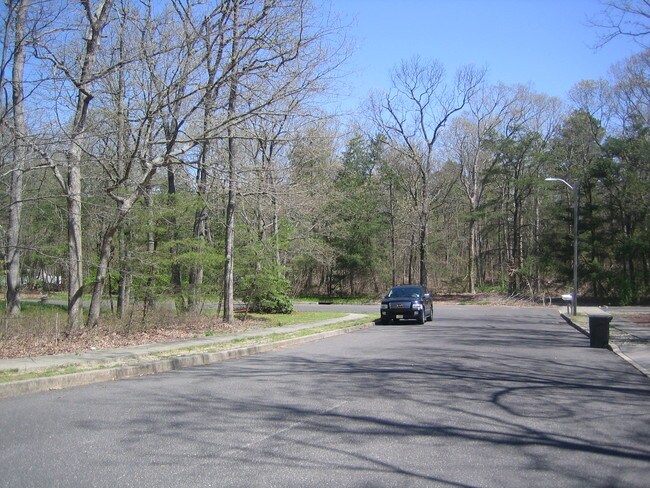
Property Detail
Muirfield Dr
36-05210-0000-00004
CAMDEN
Vacantlandnec
New Jersey
PR-2
4
B and X Area of moderate flood hazard, usually the area between the limits of the 100-year and 500-year floods.
3.44 AC
2025
South Camden County
2026
Philadelphia
609205
Philadelphia-Camden-Wilmington, PA-NJ-DE-MD
NEARBY LISTINGS FOR SALE OR LEASE
DEMOGRAPHICS near Muirfield Dr
1 mile
3 mile
5 mile
2025 Total Population
2,024
21,031
71,885
2030 Population
2,063
21,611
73,739
Pop Growth 2025-2030
+ 1.93%
+ 2.76%
+ 2.58%
Average Age
41
40
41
2025 Total Households
695
7,426
26,479
HH Growth 2025-2030
+ 2.01%
+ 2.90%
+ 2.68%
Median Household Inc
$97,584
$85,602
$92,805
Avg Household Size
2.90
2.80
2.70
2025 Avg HH Vehicles
2.00
2.00
2.00
Median Home Value
$374,462
$274,828
$285,316
Median Year Built
1999
1980
1984
Nearby Places
Map Layers
Map Styles
 Street
 Aerial
Layers
 Traffic
 Biking
Places
Listings with unknown addresses are not visible on the map
- Restaurants
- Banks
- Shops
- Fitness
- Groceries
PUBLIC TRANSPORTATION
COMMUTER RAIL
Atco (Atlantic City Line - NJ Transit Commuter Rail (NJ Transit))
Drive
Walk
Distance
Atco (Atlantic City Line - NJ Transit Commuter Rail (NJ Transit))
10 min
6.8 mi
AIRPORT
Philadelphia International
Drive
Walk
Distance
Philadelphia International
46 min
29.5 mi
Atlantic City International
Drive
Walk
Distance
Atlantic City International
61 min
32.9 mi
Freight Ports
Broadway Terminal - Pier 5
Drive
Walk
Distance
Broadway Terminal - Pier 5
31 min
20.9 mi
SALE & LEASE HISTORY
LISTING DATE
SALE/LEASE

Sep 24, 2016
For Sale
Nearby Properties
Address
Land Use
TOTAL SIZE
Lot Size
Zoning
Address
Land Use
TOTAL SIZE
Lot Size
Zoning
73.95 AC
PI3
Address
Land Use
TOTAL SIZE
Lot Size
Zoning
2,264 SF
21.47 AC
PL-2
Address
Land Use
TOTAL SIZE
Lot Size
Zoning
89,672 SF
30.01 AC
PR-2
Address
Land Use
TOTAL SIZE
Lot Size
Zoning
3.44 AC
RM
Address
Land Use
TOTAL SIZE
Lot Size
Zoning
54,056 SF
17.26 AC
P
Address
Land Use
TOTAL SIZE
Lot Size
Zoning
Address
Land Use
TOTAL SIZE
Lot Size
Zoning
6.51 AC
C
Address
Land Use
TOTAL SIZE
Lot Size
Zoning
26.68 AC
PL-2
Address
Land Use
TOTAL SIZE
Lot Size
Zoning
30 AC
PR-2
Address
Land Use
TOTAL SIZE
Lot Size
Zoning
16,000 SF
13.22 AC
PC-2
Address
Land Use
TOTAL SIZE
Lot Size
Zoning
6.63 AC
RM
Address
Land Use
TOTAL SIZE
Lot Size
Zoning
1,718 SF
68.48 AC
PR-2
Address
Land Use
TOTAL SIZE
Lot Size
Zoning
4.33 AC
C
Address
Land Use
TOTAL SIZE
Lot Size
Zoning
45.89 AC
PR-1
Address
Land Use
TOTAL SIZE
Lot Size
Zoning
11.82 AC
RM
Address
Land Use
TOTAL SIZE
Lot Size
Zoning
6.20 AC
Address
Land Use
TOTAL SIZE
Lot Size
Zoning
73.95 AC
MULT
Address
Land Use
TOTAL SIZE
Lot Size
Zoning
8.41 AC
CM
Address
Land Use
TOTAL SIZE
Lot Size
Zoning
5,464 SF
3.46 AC
C
Address
Land Use
TOTAL SIZE
Lot Size
Zoning
4.56 AC
C
Address
Land Use
TOTAL SIZE
Lot Size
Zoning
37.24 AC
CM
Address
Land Use
TOTAL SIZE
Lot Size
Zoning
15.94 AC
C
Address
Land Use
TOTAL SIZE
Lot Size
Zoning
720.84 AC
PRC
Address
Land Use
TOTAL SIZE
Lot Size
Zoning
18,829 SF
1.86 AC
C
Address
Land Use
TOTAL SIZE
Lot Size
Zoning
6.29 AC
C
Address
Land Use
TOTAL SIZE
Lot Size
Zoning
6.99 AC
RM
Address
Land Use
TOTAL SIZE
Lot Size
Zoning
10.72 AC
PC-2
Address
Land Use
TOTAL SIZE
Lot Size
Zoning
11,200 SF
1.17 AC
C
Address
Land Use
TOTAL SIZE
Lot Size
Zoning
85.89 AC
PI-3
Address
Land Use
TOTAL SIZE
Lot Size
Zoning
28.53 AC
RGNC
The World's #1 Commercial Real Estate Marketplace
Connect with us
© 2026 CoStar Group
The information above has been obtained from sources believed reliable. While we do not doubt its accuracy we have not verified it and make no guarantee, warranty or representation about it. It is your responsibility to independently confirm its accuracy and completeness. Any projections, opinions, assumptions, or estimates used are for example only and do not represent the current or future performance of the property. The value of this transaction to you depends on tax and other factors which should be evaluated by your tax, financial, and legal advisors. You and your advisors should conduct a careful, independent investigation of the property to determine to your satisfaction the suitability of the property for your needs.