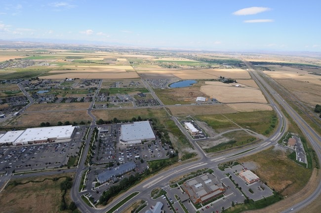
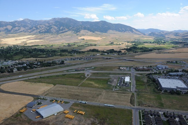
Property Record
N 27Th Ave, Bozeman, MT 59718


NEARBY LISTINGS FOR SALE OR LEASE
Property Detail
N 27Th Ave
Bozeman, MT
Minor Sub 221B
06-0904-26-3-01-61-0000
MINOR SUB 221B, S26, T01 S, R05 E, LOT 1, ACRES 2.822, PLUS OPEN SPACE
Commercialacreage
Gallatin
X
Montana
30031C0804D
1
2025
2.82 AC
2025
Bozeman/Yellowstone Country
000505
Other Market Areas
DEMOGRAPHICS near N 27Th Ave
1 Mile
3 Mile
5 Mile
2024 Total Population
3,467
38,285
73,040
2029 Population
4,021
43,959
83,386
Pop Growth 2024-2029
+ 15.98%
+ 14.82%
+ 14.16%
Average Age
36
36
36
2024 Total Households
1,534
16,266
29,797
HH Growth 2024-2029
+ 16.43%
+ 15.26%
+ 15.04%
Median Household Inc
$111,471
$75,013
$77,409
Avg Household Size
2.20
2.30
2.30
2024 Avg HH Vehicles
2.00
2.00
2.00
Median Home Value
$914,156
$492,115
$598,605
Median Year Built
2010
2005
2002
Nearby Places
Map Layers
Map Styles
 Street
 Aerial
- Restaurants
- Banks
- Shops
- Fitness
- Groceries
PUBLIC TRANSPORTATION
AIRPORT
Bozeman Yellowstone International
DRIVE
WALK
Distance
Bozeman Yellowstone International
12 min
6.5 mi
SALE & LEASE HISTORY
LISTING DATE
SALE/LEASE

May 26, 2017
For Sale
May 25, 2022
For Sale
Jun 23, 2017
For Sale
Nearby Properties
Address
Land Use
TOTAL SIZE
Lot Size
Zoning
Address
Land Use
TOTAL SIZE
Lot Size
Zoning
138,308 SF
58.03 AC
Address
Land Use
TOTAL SIZE
Lot Size
Zoning
214,283 SF
5.20 AC
Address
Land Use
TOTAL SIZE
Lot Size
Zoning
6,317 SF
9.14 AC
Address
Land Use
TOTAL SIZE
Lot Size
Zoning
129,579 SF
9.74 AC
Address
Land Use
TOTAL SIZE
Lot Size
Zoning
10,368 SF
6.75 AC
Address
Land Use
TOTAL SIZE
Lot Size
Zoning
8,100 SF
64.73 AC
Address
Land Use
TOTAL SIZE
Lot Size
Zoning
33,771 SF
7.10 AC
Address
Land Use
TOTAL SIZE
Lot Size
Zoning
85,290 SF
7.82 AC
Address
Land Use
TOTAL SIZE
Lot Size
Zoning
81,620 SF
10.65 AC
1
Address
Land Use
TOTAL SIZE
Lot Size
Zoning
85,052 SF
1.26 AC
6
Address
Land Use
TOTAL SIZE
Lot Size
Zoning
149,599 SF
18.41 AC
Address
Land Use
TOTAL SIZE
Lot Size
Zoning
119,732 SF
7.32 AC
Address
Land Use
TOTAL SIZE
Lot Size
Zoning
19,938 SF
Address
Land Use
TOTAL SIZE
Lot Size
Zoning
27,219 SF
10.11 AC
R3
Address
Land Use
TOTAL SIZE
Lot Size
Zoning
128,745 SF
4.24 AC
Address
Land Use
TOTAL SIZE
Lot Size
Zoning
59,860 SF
42.94 AC
Address
Land Use
TOTAL SIZE
Lot Size
Zoning
94,146 SF
7.18 AC
R3
Address
Land Use
TOTAL SIZE
Lot Size
Zoning
122,580 SF
10.85 AC
Address
Land Use
TOTAL SIZE
Lot Size
Zoning
97,504 SF
0.56 AC
Address
Land Use
TOTAL SIZE
Lot Size
Zoning
173,255 SF
3.26 AC
Address
Land Use
TOTAL SIZE
Lot Size
Zoning
93,211 SF
4.24 AC
Address
Land Use
TOTAL SIZE
Lot Size
Zoning
47,466 SF
25.72 AC
Address
Land Use
TOTAL SIZE
Lot Size
Zoning
59,184 SF
0.44 AC
Address
Land Use
TOTAL SIZE
Lot Size
Zoning
5,870 SF
4.41 AC
Address
Land Use
TOTAL SIZE
Lot Size
Zoning
20,940 SF
9.97 AC
Address
Land Use
TOTAL SIZE
Lot Size
Zoning
85,204 SF
3.05 AC
Address
Land Use
TOTAL SIZE
Lot Size
Zoning
70,684 SF
5.15 AC
Address
Land Use
TOTAL SIZE
Lot Size
Zoning
90,560 SF
14.43 AC
Address
Land Use
TOTAL SIZE
Lot Size
Zoning
62,329 SF
0.83 AC
6
Address
Land Use
TOTAL SIZE
Lot Size
Zoning
77,828 SF
5.62 AC
6
The World's #1 Commercial Real Estate Marketplace
Connect with us
© 2025 CoStar Group
The information above has been obtained from sources believed reliable. While we do not doubt its accuracy we have not verified it and make no guarantee, warranty or representation about it. It is your responsibility to independently confirm its accuracy and completeness. Any projections, opinions, assumptions, or estimates used are for example only and do not represent the current or future performance of the property. The value of this transaction to you depends on tax and other factors which should be evaluated by your tax, financial, and legal advisors. You and your advisors should conduct a careful, independent investigation of the property to determine to your satisfaction the suitability of the property for your needs.