Property Record
N Cobb Rd, Mount Airy, GA 30563


NEARBY LISTINGS FOR SALE OR LEASE
-
-
View all Mount Airy listings for sale on LoopNet.com
Property Detail
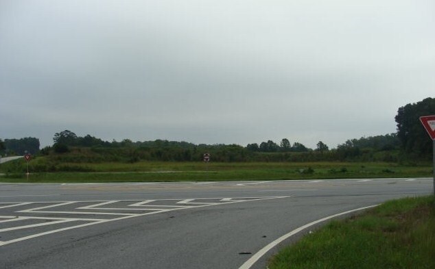
N Cobb Rd
Cornelia, GA
Mountain View
129-111
12-84 85 PB 49-160 485-221
Residentialacreage
Habersham
A
Georgia
13137C0227D
5.95 AC
2025
Georgia Northeast
2025
Other Market Areas
000400
DEMOGRAPHICS near N Cobb Rd
1 mile
3 mile
5 mile
2024 Total Population
355
3,277
11,066
2029 Population
388
3,568
11,999
Pop Growth 2024-2029
+ 9.30%
+ 8.88%
+ 8.43%
Average Age
43
43
42
2024 Total Households
135
1,255
4,208
HH Growth 2024-2029
+ 8.89%
+ 8.45%
+ 8.15%
Median Household Inc
$88,461
$77,437
$69,659
Avg Household Size
2.50
2.50
2.50
2024 Avg HH Vehicles
3.00
3.00
2.00
Median Home Value
$225,926
$216,667
$210,869
Median Year Built
1988
1991
1991
Nearby Places
Map Layers
Map Styles
 Street
 Aerial
Transit
 Traffic
 Biking
Places
Listings with unknown addresses are not visible on the map
- Restaurants
- Banks
- Shops
- Fitness
- Groceries
PUBLIC TRANSPORTATION
COMMUTER RAIL
Toccoa Amtrak Station (Crescent - Amtrak)
Drive
Walk
Distance
Toccoa Amtrak Station (Crescent - Amtrak)
14 min
8.9 mi
Freight Ports
Georgia Ports - Savannah
Drive
Walk
Distance
Georgia Ports - Savannah
313 min
256.3 mi
SALE & LEASE HISTORY
LISTING DATE
SALE/LEASE

Aug 24, 2017
For Sale
Nearby Properties
Address
Land Use
TOTAL SIZE
Lot Size
Zoning
Address
Land Use
TOTAL SIZE
Lot Size
Zoning
998.49 AC
LI
Address
Land Use
TOTAL SIZE
Lot Size
Zoning
11,224 SF
30 AC
HI
Address
Land Use
TOTAL SIZE
Lot Size
Zoning
380.79 AC
LI
Address
Land Use
TOTAL SIZE
Lot Size
Zoning
46,196 SF
15.30 AC
LI
Address
Land Use
TOTAL SIZE
Lot Size
Zoning
3,600 SF
171.59 AC
HI
Address
Land Use
TOTAL SIZE
Lot Size
Zoning
1,575 SF
199.50 AC
LI
Address
Land Use
TOTAL SIZE
Lot Size
Zoning
32,868 SF
6.64 AC
HI
Address
Land Use
TOTAL SIZE
Lot Size
Zoning
352 AC
LI
Address
Land Use
TOTAL SIZE
Lot Size
Zoning
4,482 SF
48.97 AC
LI
Address
Land Use
TOTAL SIZE
Lot Size
Zoning
291.54 AC
LI
Address
Land Use
TOTAL SIZE
Lot Size
Zoning
17,877 SF
6.61 AC
HI
Address
Land Use
TOTAL SIZE
Lot Size
Zoning
262 AC
LI
Address
Land Use
TOTAL SIZE
Lot Size
Zoning
257.34 AC
LI
Address
Land Use
TOTAL SIZE
Lot Size
Zoning
242.66 AC
LI
Address
Land Use
TOTAL SIZE
Lot Size
Zoning
3,102 SF
58.86 AC
AGRI
Address
Land Use
TOTAL SIZE
Lot Size
Zoning
212.78 AC
LI
Address
Land Use
TOTAL SIZE
Lot Size
Zoning
55.52 AC
AGRI
Address
Land Use
TOTAL SIZE
Lot Size
Zoning
4,868 SF
111.19 AC
LI
Address
Land Use
TOTAL SIZE
Lot Size
Zoning
3,472 SF
111.96 AC
AGRI
Address
Land Use
TOTAL SIZE
Lot Size
Zoning
900 SF
2 AC
HI
Address
Land Use
TOTAL SIZE
Lot Size
Zoning
163.40 AC
LI
Address
Land Use
TOTAL SIZE
Lot Size
Zoning
1,175 SF
141.84 AC
LI
Address
Land Use
TOTAL SIZE
Lot Size
Zoning
9,312 SF
2 AC
LI
Address
Land Use
TOTAL SIZE
Lot Size
Zoning
21,900 SF
21.25 AC
HI
Address
Land Use
TOTAL SIZE
Lot Size
Zoning
138.51 AC
LI
Address
Land Use
TOTAL SIZE
Lot Size
Zoning
1,860 SF
21.90 AC
LI
Address
Land Use
TOTAL SIZE
Lot Size
Zoning
1,408 SF
103.94 AC
LI
Address
Land Use
TOTAL SIZE
Lot Size
Zoning
35,692 SF
5.64 AC
HI
Address
Land Use
TOTAL SIZE
Lot Size
Zoning
124 AC
LI
Address
Land Use
TOTAL SIZE
Lot Size
Zoning
22,814 SF
36.53 AC
LI
The World's #1 Commercial Real Estate Marketplace
Connect with us
© 2026 CoStar Group
The information above has been obtained from sources believed reliable. While we do not doubt its accuracy we have not verified it and make no guarantee, warranty or representation about it. It is your responsibility to independently confirm its accuracy and completeness. Any projections, opinions, assumptions, or estimates used are for example only and do not represent the current or future performance of the property. The value of this transaction to you depends on tax and other factors which should be evaluated by your tax, financial, and legal advisors. You and your advisors should conduct a careful, independent investigation of the property to determine to your satisfaction the suitability of the property for your needs.