Property Record
N Ner Rd, Dexter, MI 48130

NEARBY LISTINGS FOR SALE OR LEASE
-
-
View all Dexter listings for sale on LoopNet.com
Property Detail
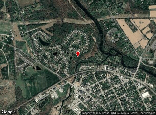
N Ner Rd
07-01-400-020
REWRITE PER SURVEY 06/19/12 OWNER REQUEST LI 1-9B-3B PCL B-1 COM AT SE COR SEC 1
Residentialacreage
Washtenaw
A
Michigan
26161C0209E
12.59 AC
2024
Washtenaw W of 23
2025
Detroit
461000
Ann Arbor, MI
DEMOGRAPHICS near N Ner Rd
1 Mile
3 Mile
5 Mile
2024 Total Population
1,657
9,970
23,180
2029 Population
1,672
9,903
22,907
Pop Growth 2024-2029
+ 0.91%
(0.67%)
(1.18%)
Average Age
43
42
42
2024 Total Households
637
3,749
8,710
HH Growth 2024-2029
+ 0.94%
(0.77%)
(1.26%)
Median Household Inc
$93,810
$107,033
$114,517
Avg Household Size
2.50
2.60
2.60
2024 Avg HH Vehicles
2.00
2.00
2.00
Median Home Value
$399,152
$387,486
$406,059
Median Year Built
1978
1992
1992
Nearby Places
Map Layers
Map Styles
 Street
 Aerial
- Restaurants
- Banks
- Shops
- Fitness
- Groceries
PUBLIC TRANSPORTATION
COMMUTER RAIL
Ann Arbor Amtrak Station (Wolverine - Amtrak)
DRIVE
WALK
Distance
Ann Arbor Amtrak Station (Wolverine - Amtrak)
19 min
9.5 mi
AIRPORT
Detroit Metro Wayne County
DRIVE
WALK
Distance
Detroit Metro Wayne County
46 min
36.3 mi
Freight Ports
Port of Toledo
DRIVE
WALK
Distance
Port of Toledo
89 min
69.6 mi
SALE & LEASE HISTORY
LISTING DATE
SALE/LEASE

Oct 03, 2024
For Sale
Nearby Properties
Address
Land Use
TOTAL SIZE
Lot Size
Zoning
Address
Land Use
TOTAL SIZE
Lot Size
Zoning
460,082 SF
42.24 AC
RD
Address
Land Use
TOTAL SIZE
Lot Size
Zoning
443,838 SF
47.01 AC
I-1
Address
Land Use
TOTAL SIZE
Lot Size
Zoning
24.06 AC
R-3
Address
Land Use
TOTAL SIZE
Lot Size
Zoning
61,760 SF
18.06 AC
II
Address
Land Use
TOTAL SIZE
Lot Size
Zoning
52,990 SF
20.49 AC
I-1
Address
Land Use
TOTAL SIZE
Lot Size
Zoning
Address
Land Use
TOTAL SIZE
Lot Size
Zoning
13.36 AC
R-3
Address
Land Use
TOTAL SIZE
Lot Size
Zoning
Address
Land Use
TOTAL SIZE
Lot Size
Zoning
49,707 SF
4.50 AC
C-1
Address
Land Use
TOTAL SIZE
Lot Size
Zoning
31,970 SF
8.34 AC
C-1
Address
Land Use
TOTAL SIZE
Lot Size
Zoning
88,590 SF
9.80 AC
RD
Address
Land Use
TOTAL SIZE
Lot Size
Zoning
150,000 SF
18.24 AC
I-1
Address
Land Use
TOTAL SIZE
Lot Size
Zoning
68,000 SF
11.61 AC
RD
Address
Land Use
TOTAL SIZE
Lot Size
Zoning
84,460 SF
IFT PARCEL
Address
Land Use
TOTAL SIZE
Lot Size
Zoning
67,262 SF
9.05 AC
C-1
Address
Land Use
TOTAL SIZE
Lot Size
Zoning
4,788 SF
14.35 AC
SEVERAL
Address
Land Use
TOTAL SIZE
Lot Size
Zoning
43,293 SF
2.20 AC
RD
Address
Land Use
TOTAL SIZE
Lot Size
Zoning
15,444 SF
3.28 AC
PB
Address
Land Use
TOTAL SIZE
Lot Size
Zoning
576 SF
IFT PARCEL
Address
Land Use
TOTAL SIZE
Lot Size
Zoning
21,870 SF
0.46 AC
VILLAGE
Address
Land Use
TOTAL SIZE
Lot Size
Zoning
10,530 SF
2 AC
PB
Address
Land Use
TOTAL SIZE
Lot Size
Zoning
73,803 SF
3.70 AC
RD
Address
Land Use
TOTAL SIZE
Lot Size
Zoning
7,890 SF
1.20 AC
VR
Address
Land Use
TOTAL SIZE
Lot Size
Zoning
21,312 SF
1.99 AC
PUD
Address
Land Use
TOTAL SIZE
Lot Size
Zoning
131,520 SF
6.62 AC
C-1
Address
Land Use
TOTAL SIZE
Lot Size
Zoning
62,900 SF
10.01 AC
RD
Address
Land Use
TOTAL SIZE
Lot Size
Zoning
57,836 SF
6.89 AC
VILLAGE
Address
Land Use
TOTAL SIZE
Lot Size
Zoning
61,128 SF
4.79 AC
VILLAGE
Address
Land Use
TOTAL SIZE
Lot Size
Zoning
4,721 SF
1.52 AC
PUD
Address
Land Use
TOTAL SIZE
Lot Size
Zoning
30,720 SF
3.50 AC
RD
The World's #1 Commercial Real Estate Marketplace
Connect with us
© 2026 CoStar Group
The information above has been obtained from sources believed reliable. While we do not doubt its accuracy we have not verified it and make no guarantee, warranty or representation about it. It is your responsibility to independently confirm its accuracy and completeness. Any projections, opinions, assumptions, or estimates used are for example only and do not represent the current or future performance of the property. The value of this transaction to you depends on tax and other factors which should be evaluated by your tax, financial, and legal advisors. You and your advisors should conduct a careful, independent investigation of the property to determine to your satisfaction the suitability of the property for your needs.