Property Record
N North Carolina Hwy, West End, NC 27376

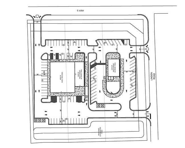
Current Lease Availabilities
NEARBY LISTINGS FOR SALE OR LEASE
Property Detail
N North Carolina Hwy
Other Market Areas
Sandhills Estates
Pinehurst-Southern Pines, NC
SANDHILLS ESTATES LOT 1
8551-16-83-8653
Moore
Commercialacreage
North Carolina
X
1
3710854000J
1.20 AC
2024
North Carolina Southeast Area
2024
DEMOGRAPHICS near N North Carolina Hwy
1 Mile
3 Mile
5 Mile
2024 Total Population
1,600
18,851
48,503
2029 Population
1,857
21,831
56,135
Pop Growth 2024-2029
+ 16.06%
+ 15.81%
+ 15.74%
Average Age
45
47
45
2024 Total Households
708
8,312
21,521
HH Growth 2024-2029
+ 16.38%
+ 16.17%
+ 16.01%
Median Household Inc
$59,102
$84,474
$71,199
Avg Household Size
2.20
2.20
2.20
2024 Avg HH Vehicles
2.00
2.00
2.00
Median Home Value
$327,659
$383,724
$354,592
Median Year Built
1988
1993
1995
Nearby Places
- Restaurants
- Banks
- Shops
- Fitness
- Groceries
PUBLIC TRANSPORTATION
COMMUTER RAIL
Southern Pines Amtrak Station (Silver Star - Amtrak)
DRIVE
WALK
Distance
Southern Pines Amtrak Station (Silver Star - Amtrak)
13 min
7.6 mi
Freight Ports
Port of Wilmington
DRIVE
WALK
Distance
Port of Wilmington
170 min
134.4 mi
Nearby Properties
Address
Land Use
TOTAL SIZE
Lot Size
Zoning
Address
Land Use
TOTAL SIZE
Lot Size
Zoning
29,476 SF
22.76 AC
H
Address
Land Use
TOTAL SIZE
Lot Size
Zoning
20,091 SF
12 AC
PPC
Address
Land Use
TOTAL SIZE
Lot Size
Zoning
16.26 AC
PD
Address
Land Use
TOTAL SIZE
Lot Size
Zoning
7,161 SF
0.87 AC
RD
Address
Land Use
TOTAL SIZE
Lot Size
Zoning
17,091 SF
12.65 AC
R10
Address
Land Use
TOTAL SIZE
Lot Size
Zoning
21,138 SF
473.33 AC
RD
Address
Land Use
TOTAL SIZE
Lot Size
Zoning
70,130 SF
19.18 AC
Address
Land Use
TOTAL SIZE
Lot Size
Zoning
22,772 SF
12.46 AC
HC
Address
Land Use
TOTAL SIZE
Lot Size
Zoning
51,552 SF
33.02 AC
GBCD
Address
Land Use
TOTAL SIZE
Lot Size
Zoning
83,896 SF
66.98 AC
R20
Address
Land Use
TOTAL SIZE
Lot Size
Zoning
4,992 SF
14.75 AC
PD
Address
Land Use
TOTAL SIZE
Lot Size
Zoning
190.53 AC
Address
Land Use
TOTAL SIZE
Lot Size
Zoning
155.66 AC
RD
Address
Land Use
TOTAL SIZE
Lot Size
Zoning
7.45 AC
Address
Land Use
TOTAL SIZE
Lot Size
Zoning
199,100 SF
24.89 AC
HC
Address
Land Use
TOTAL SIZE
Lot Size
Zoning
2,450 SF
2.96 AC
Address
Land Use
TOTAL SIZE
Lot Size
Zoning
57,109 SF
4.08 AC
GBSD
Address
Land Use
TOTAL SIZE
Lot Size
Zoning
0.84 AC
GC
Address
Land Use
TOTAL SIZE
Lot Size
Zoning
20,709 SF
3.60 AC
H
Address
Land Use
TOTAL SIZE
Lot Size
Zoning
0.87 AC
Address
Land Use
TOTAL SIZE
Lot Size
Zoning
0.87 AC
Address
Land Use
TOTAL SIZE
Lot Size
Zoning
9,690 SF
19.96 AC
HC
Address
Land Use
TOTAL SIZE
Lot Size
Zoning
47,273 SF
11.25 AC
NC
Address
Land Use
TOTAL SIZE
Lot Size
Zoning
23,472 SF
3.49 AC
GC
Address
Land Use
TOTAL SIZE
Lot Size
Zoning
Address
Land Use
TOTAL SIZE
Lot Size
Zoning
5,090 SF
99.55 AC
RD
Address
Land Use
TOTAL SIZE
Lot Size
Zoning
5,700 SF
205.35 AC
RS2CD
Address
Land Use
TOTAL SIZE
Lot Size
Zoning
480 SF
73.70 AC
PC
Address
Land Use
TOTAL SIZE
Lot Size
Zoning
20,679 SF
3.58 AC
PD
Address
Land Use
TOTAL SIZE
Lot Size
Zoning
5,946 SF
4.84 AC
GB
The World's #1 Commercial Real Estate Marketplace
Connect with us
© 2025 CoStar Group
The information above has been obtained from sources believed reliable. While we do not doubt its accuracy we have not verified it and make no guarantee, warranty or representation about it. It is your responsibility to independently confirm its accuracy and completeness. Any projections, opinions, assumptions, or estimates used are for example only and do not represent the current or future performance of the property. The value of this transaction to you depends on tax and other factors which should be evaluated by your tax, financial, and legal advisors. You and your advisors should conduct a careful, independent investigation of the property to determine to your satisfaction the suitability of the property for your needs.