Property Record
N Rouse, Pittsburg, KS 66762
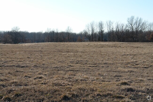

Property Detail
N Rouse
Pittsburg, KS
S17, T30, R25, ACRES 10.5, BEG NE COR SE1/4, TH W 100, S 120, W 481.68, SWLY 730, E 755, N 162.57, NELY ON CURVE 205(S), NELY
204-17-0-40-01-002.00-0
CRAWFORD
Commercialnec
Kansas
IP3
10.50 AC
2025
Kansas Area
2025
Other Market Areas
957000
NEARBY LISTINGS FOR SALE OR LEASE
DEMOGRAPHICS near N Rouse
1 mile
3 mile
5 mile
2025 Total Population
3,200
20,119
26,883
2030 Population
3,167
19,998
26,727
Pop Growth 2025-2030
(1.03%)
(0.60%)
(0.58%)
Average Age
36
36
36
2025 Total Households
1,256
7,871
10,705
HH Growth 2025-2030
(1.04%)
(0.60%)
(0.63%)
Median Household Inc
$44,062
$46,351
$47,249
Avg Household Size
2.40
2.30
2.30
2025 Avg HH Vehicles
1.00
2.00
2.00
Median Home Value
$101,190
$126,777
$150,088
Median Year Built
1969
1969
1972
Nearby Places
Map Layers
Map Styles
 Street
 Aerial
Layers
 Traffic
 Biking
Places
Listings with unknown addresses are not visible on the map
- Restaurants
- Banks
- Shops
- Fitness
- Groceries
Nearby Properties
Address
Land Use
TOTAL SIZE
Lot Size
Zoning
Address
Land Use
TOTAL SIZE
Lot Size
Zoning
232,664 SF
16.10 AC
CP2
Address
Land Use
TOTAL SIZE
Lot Size
Zoning
431,989 SF
19.40 AC
Address
Land Use
TOTAL SIZE
Lot Size
Zoning
197,181 SF
49 AC
R1A
Address
Land Use
TOTAL SIZE
Lot Size
Zoning
89,822 SF
5.60 AC
R2
Address
Land Use
TOTAL SIZE
Lot Size
Zoning
5,512 SF
530.50 AC
A0
Address
Land Use
TOTAL SIZE
Lot Size
Zoning
64,068 SF
3.50 AC
R1B
Address
Land Use
TOTAL SIZE
Lot Size
Zoning
43,756 SF
2 AC
R1C
Address
Land Use
TOTAL SIZE
Lot Size
Zoning
49,748 SF
10.30 AC
R1B
Address
Land Use
TOTAL SIZE
Lot Size
Zoning
31,930 SF
4.80 AC
Address
Land Use
TOTAL SIZE
Lot Size
Zoning
55,320 SF
1.19 AC
CP4
Address
Land Use
TOTAL SIZE
Lot Size
Zoning
139,580 SF
5 AC
Address
Land Use
TOTAL SIZE
Lot Size
Zoning
42,938 SF
2.19 AC
R2
Address
Land Use
TOTAL SIZE
Lot Size
Zoning
86,906 SF
3.10 AC
R1C
Address
Land Use
TOTAL SIZE
Lot Size
Zoning
184,784 SF
33.98 AC
IP3
Address
Land Use
TOTAL SIZE
Lot Size
Zoning
25,256 SF
1.30 AC
CP4
Address
Land Use
TOTAL SIZE
Lot Size
Zoning
29,840 SF
2.68 AC
CP4
Address
Land Use
TOTAL SIZE
Lot Size
Zoning
46,821 SF
2.76 AC
R1C
Address
Land Use
TOTAL SIZE
Lot Size
Zoning
27,044 SF
5.36 AC
Address
Land Use
TOTAL SIZE
Lot Size
Zoning
5,200 SF
13.02 AC
Address
Land Use
TOTAL SIZE
Lot Size
Zoning
12,960 SF
5.10 AC
Address
Land Use
TOTAL SIZE
Lot Size
Zoning
22,668 SF
1.80 AC
CP2
Address
Land Use
TOTAL SIZE
Lot Size
Zoning
15,000 SF
2.40 AC
CP4
Address
Land Use
TOTAL SIZE
Lot Size
Zoning
1,829 SF
139.70 AC
Address
Land Use
TOTAL SIZE
Lot Size
Zoning
41,806 SF
3.31 AC
CP2
Address
Land Use
TOTAL SIZE
Lot Size
Zoning
27,654 SF
1.07 AC
Address
Land Use
TOTAL SIZE
Lot Size
Zoning
27,755 SF
3 AC
Address
Land Use
TOTAL SIZE
Lot Size
Zoning
297,339 SF
29.30 AC
Address
Land Use
TOTAL SIZE
Lot Size
Zoning
30,248 SF
5.70 AC
Address
Land Use
TOTAL SIZE
Lot Size
Zoning
12,795 SF
1.20 AC
CP0
Address
Land Use
TOTAL SIZE
Lot Size
Zoning
1,300 SF
29.30 AC
The World's #1 Commercial Real Estate Marketplace
Connect with us
© 2026 CoStar Group
The information above has been obtained from sources believed reliable. While we do not doubt its accuracy we have not verified it and make no guarantee, warranty or representation about it. It is your responsibility to independently confirm its accuracy and completeness. Any projections, opinions, assumptions, or estimates used are for example only and do not represent the current or future performance of the property. The value of this transaction to you depends on tax and other factors which should be evaluated by your tax, financial, and legal advisors. You and your advisors should conduct a careful, independent investigation of the property to determine to your satisfaction the suitability of the property for your needs.