Property Record
N Walnut St, Shelburn, IN 47879

NEARBY LISTINGS FOR SALE OR LEASE
-
-
View all Shelburn listings for sale on LoopNet.com
Property Detail
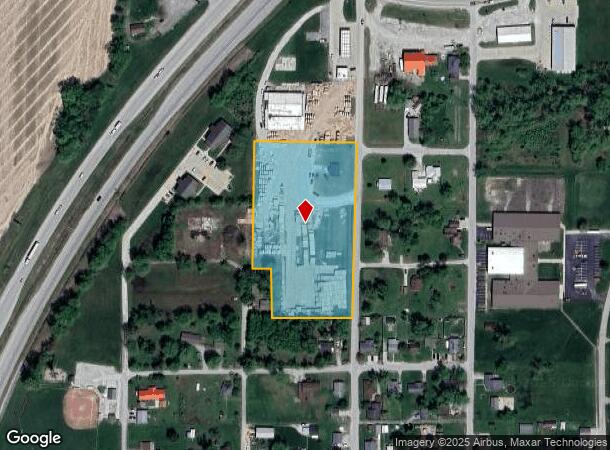
N Walnut St
Other Market Areas
Highland Addition
Terre Haute, IN
PT NW PT NE SEC 34-9-9 3.51 ACRES
77-02-34-112-019.000-005
Sullivan
Residentialacreage
Indiana
2024
3.51 AC
2024
Bloomington/Terre Haute
050101
DEMOGRAPHICS near N Walnut St
1 Mile
3 Mile
5 Mile
2024 Total Population
1,474
2,551
5,185
2029 Population
1,478
2,548
5,133
Pop Growth 2024-2029
+ 0.27%
(0.12%)
(1.00%)
Average Age
41
42
42
2024 Total Households
614
1,045
2,095
HH Growth 2024-2029
+ 0.33%
(0.10%)
(1.05%)
Median Household Inc
$45,458
$47,426
$51,333
Avg Household Size
2.40
2.40
2.40
2024 Avg HH Vehicles
2.00
2.00
2.00
Median Home Value
$91,349
$106,081
$112,587
Median Year Built
1974
1973
1972
Nearby Places
Map Layers
Map Styles
 Street
 Aerial
- Restaurants
- Banks
- Shops
- Fitness
- Groceries
SALE & LEASE HISTORY
LISTING DATE
SALE/LEASE

Jul 09, 2018
For Sale
Nearby Properties
Address
Land Use
TOTAL SIZE
Lot Size
Zoning
Address
Land Use
TOTAL SIZE
Lot Size
Zoning
161,044 SF
56.12 AC
Address
Land Use
TOTAL SIZE
Lot Size
Zoning
1,200 SF
11.33 AC
Address
Land Use
TOTAL SIZE
Lot Size
Zoning
26,430 SF
8.98 AC
Address
Land Use
TOTAL SIZE
Lot Size
Zoning
4,000 SF
1.11 AC
Address
Land Use
TOTAL SIZE
Lot Size
Zoning
196.70 AC
Address
Land Use
TOTAL SIZE
Lot Size
Zoning
172 AC
Address
Land Use
TOTAL SIZE
Lot Size
Zoning
Address
Land Use
TOTAL SIZE
Lot Size
Zoning
7,892 SF
1.75 AC
Address
Land Use
TOTAL SIZE
Lot Size
Zoning
130 AC
Address
Land Use
TOTAL SIZE
Lot Size
Zoning
1,440 SF
Address
Land Use
TOTAL SIZE
Lot Size
Zoning
113.50 AC
Address
Land Use
TOTAL SIZE
Lot Size
Zoning
139.09 AC
Address
Land Use
TOTAL SIZE
Lot Size
Zoning
336.14 AC
Address
Land Use
TOTAL SIZE
Lot Size
Zoning
3,100 SF
4.81 AC
Address
Land Use
TOTAL SIZE
Lot Size
Zoning
Address
Land Use
TOTAL SIZE
Lot Size
Zoning
114.21 AC
Address
Land Use
TOTAL SIZE
Lot Size
Zoning
Address
Land Use
TOTAL SIZE
Lot Size
Zoning
119.06 AC
Address
Land Use
TOTAL SIZE
Lot Size
Zoning
103.66 AC
Address
Land Use
TOTAL SIZE
Lot Size
Zoning
122.16 AC
Address
Land Use
TOTAL SIZE
Lot Size
Zoning
137.78 AC
Address
Land Use
TOTAL SIZE
Lot Size
Zoning
2,029 SF
122.32 AC
Address
Land Use
TOTAL SIZE
Lot Size
Zoning
94.15 AC
Address
Land Use
TOTAL SIZE
Lot Size
Zoning
Address
Land Use
TOTAL SIZE
Lot Size
Zoning
880 SF
70.89 AC
Address
Land Use
TOTAL SIZE
Lot Size
Zoning
112.96 AC
Address
Land Use
TOTAL SIZE
Lot Size
Zoning
Address
Land Use
TOTAL SIZE
Lot Size
Zoning
4,391 SF
0.40 AC
Address
Land Use
TOTAL SIZE
Lot Size
Zoning
110.56 AC
Address
Land Use
TOTAL SIZE
Lot Size
Zoning
The World's #1 Commercial Real Estate Marketplace
Connect with us
© 2025 CoStar Group
The information above has been obtained from sources believed reliable. While we do not doubt its accuracy we have not verified it and make no guarantee, warranty or representation about it. It is your responsibility to independently confirm its accuracy and completeness. Any projections, opinions, assumptions, or estimates used are for example only and do not represent the current or future performance of the property. The value of this transaction to you depends on tax and other factors which should be evaluated by your tax, financial, and legal advisors. You and your advisors should conduct a careful, independent investigation of the property to determine to your satisfaction the suitability of the property for your needs.