Property Record
N13577 Narrows Trl, Minong, WI 54859

NEARBY LISTINGS FOR SALE OR LEASE
Property Detail
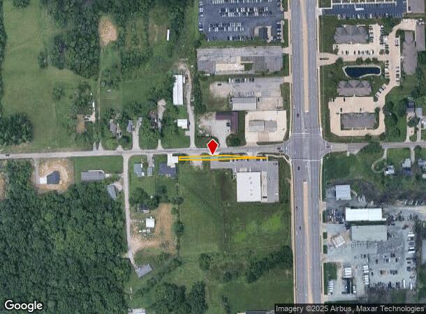
N13577 Narrows Trl
Fort Wayne, IN
Thompsonville Addition
02-07-03-330-009.000-073
.009 A IRR TRACT SW 1/4 SEC 3 PT VAC LOTS 8 THRU 11 THOMPSONVILLE ADDITION EXTENDED
Commercialacreage
Allen
X
Indiana
18003C0170G
8-11
2023
0.01 AC
2024
Outlying Allen County
010602
Fort Wayne
DEMOGRAPHICS near N13577 Narrows Trl
1 Mile
3 Mile
5 Mile
2024 Total Population
4,509
43,030
99,510
2029 Population
4,687
44,707
104,175
Pop Growth 2024-2029
+ 3.95%
+ 3.90%
+ 4.69%
Average Age
41
39
38
2024 Total Households
1,954
16,722
40,172
HH Growth 2024-2029
+ 4.09%
+ 3.96%
+ 4.80%
Median Household Inc
$71,173
$74,530
$69,829
Avg Household Size
2.30
2.50
2.40
2024 Avg HH Vehicles
2.00
2.00
2.00
Median Home Value
$182,886
$190,606
$187,200
Median Year Built
1992
1993
1990
Nearby Places
Map Layers
Map Styles
 Street
 Aerial
- Restaurants
- Banks
- Shops
- Fitness
- Groceries
PUBLIC TRANSPORTATION
AIRPORT
Fort Wayne International
DRIVE
WALK
Distance
Fort Wayne International
29 min
19.5 mi
Freight Ports
Port of Toledo
DRIVE
WALK
Distance
Port of Toledo
143 min
108.6 mi
SALE & LEASE HISTORY
LISTING DATE
SALE/LEASE

Apr 05, 2017
For Sale
Nearby Properties
Address
Land Use
TOTAL SIZE
Lot Size
Zoning
Address
Land Use
TOTAL SIZE
Lot Size
Zoning
28,590 SF
55.23 AC
Address
Land Use
TOTAL SIZE
Lot Size
Zoning
242,556 SF
17.18 AC
Address
Land Use
TOTAL SIZE
Lot Size
Zoning
75,843 SF
25.43 AC
Address
Land Use
TOTAL SIZE
Lot Size
Zoning
152,404 SF
27.47 AC
Address
Land Use
TOTAL SIZE
Lot Size
Zoning
59,089 SF
28.68 AC
Address
Land Use
TOTAL SIZE
Lot Size
Zoning
57,938 SF
34.20 AC
Address
Land Use
TOTAL SIZE
Lot Size
Zoning
222,349 SF
32.27 AC
Address
Land Use
TOTAL SIZE
Lot Size
Zoning
248,016 SF
50.67 AC
Address
Land Use
TOTAL SIZE
Lot Size
Zoning
158,885 SF
22.96 AC
Address
Land Use
TOTAL SIZE
Lot Size
Zoning
196,815 SF
32.76 AC
Address
Land Use
TOTAL SIZE
Lot Size
Zoning
86,016 SF
6.89 AC
Address
Land Use
TOTAL SIZE
Lot Size
Zoning
52,910 SF
4.91 AC
Address
Land Use
TOTAL SIZE
Lot Size
Zoning
84,684 SF
35.49 AC
Address
Land Use
TOTAL SIZE
Lot Size
Zoning
125,120 SF
6.90 AC
Address
Land Use
TOTAL SIZE
Lot Size
Zoning
22,750 SF
2.69 AC
Address
Land Use
TOTAL SIZE
Lot Size
Zoning
96,006 SF
18.20 AC
Address
Land Use
TOTAL SIZE
Lot Size
Zoning
301,162 SF
25.05 AC
Address
Land Use
TOTAL SIZE
Lot Size
Zoning
53,961 SF
25.57 AC
Address
Land Use
TOTAL SIZE
Lot Size
Zoning
138,585 SF
18.45 AC
Address
Land Use
TOTAL SIZE
Lot Size
Zoning
105,660 SF
17.66 AC
Address
Land Use
TOTAL SIZE
Lot Size
Zoning
125,241 SF
8.45 AC
Address
Land Use
TOTAL SIZE
Lot Size
Zoning
91,800 SF
3.80 AC
Address
Land Use
TOTAL SIZE
Lot Size
Zoning
243,259 SF
20 AC
Address
Land Use
TOTAL SIZE
Lot Size
Zoning
95,246 SF
12.40 AC
Address
Land Use
TOTAL SIZE
Lot Size
Zoning
50,509 SF
7.15 AC
Address
Land Use
TOTAL SIZE
Lot Size
Zoning
345,312 SF
20.41 AC
Address
Land Use
TOTAL SIZE
Lot Size
Zoning
26,328 SF
3.26 AC
Address
Land Use
TOTAL SIZE
Lot Size
Zoning
91,478 SF
10.51 AC
Address
Land Use
TOTAL SIZE
Lot Size
Zoning
7,862 SF
16.65 AC
Address
Land Use
TOTAL SIZE
Lot Size
Zoning
134,721 SF
10.91 AC
The World's #1 Commercial Real Estate Marketplace
Connect with us
© 2025 CoStar Group
The information above has been obtained from sources believed reliable. While we do not doubt its accuracy we have not verified it and make no guarantee, warranty or representation about it. It is your responsibility to independently confirm its accuracy and completeness. Any projections, opinions, assumptions, or estimates used are for example only and do not represent the current or future performance of the property. The value of this transaction to you depends on tax and other factors which should be evaluated by your tax, financial, and legal advisors. You and your advisors should conduct a careful, independent investigation of the property to determine to your satisfaction the suitability of the property for your needs.