Property Record
Nc 226 Hwy, Bostic, NC 28018

Property Detail
Nc 226 Hwy
Forest City, NC
GPIN:1694003419520000; HWY 226 (PUV)
505492
RUTHERFORD
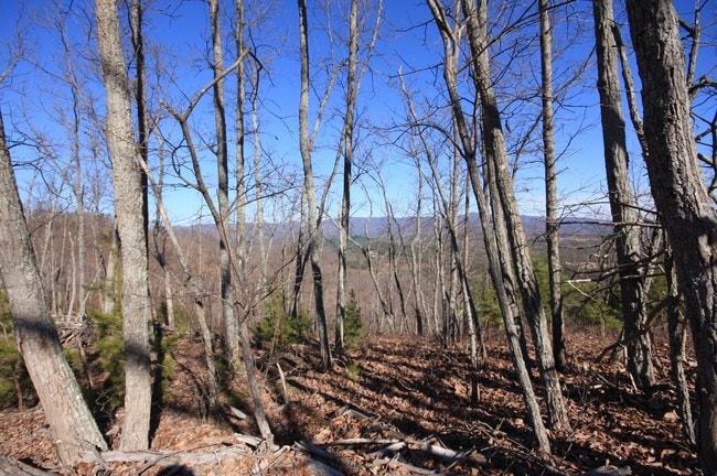
Vacantlandnec
North Carolina
B and X Area of moderate flood hazard, usually the area between the limits of the 100-year and 500-year floods.
206.50 AC
2025
North Carolina West Central Area
2025
Other Market Areas
960103
NEARBY LISTINGS FOR SALE OR LEASE
-
-
View all Bostic listings for sale on LoopNet.com
DEMOGRAPHICS near Nc 226 Hwy
1 mile
3 mile
5 mile
2025 Total Population
120
996
2,840
2030 Population
125
1,030
2,934
Pop Growth 2025-2030
+ 4.17%
+ 3.41%
+ 3.31%
Average Age
46
45
45
2025 Total Households
50
420
1,198
HH Growth 2025-2030
+ 6.00%
+ 3.33%
+ 3.26%
Median Household Inc
$68,749
$63,261
$64,780
Avg Household Size
2.30
2.30
2.30
2025 Avg HH Vehicles
2.00
2.00
2.00
Median Home Value
$218,182
$241,904
$240,406
Median Year Built
1997
1996
1994
Nearby Places
Map Layers
Map Styles
 Street
 Aerial
Layers
 Traffic
 Biking
Places
Listings with unknown addresses are not visible on the map
- Restaurants
- Banks
- Shops
- Fitness
- Groceries
SALE & LEASE HISTORY
LISTING DATE
SALE/LEASE

Mar 10, 2017
For Sale
Nearby Properties
Address
Land Use
TOTAL SIZE
Lot Size
Zoning
Address
Land Use
TOTAL SIZE
Lot Size
Zoning
224,905 SF
61.74 AC
Address
Land Use
TOTAL SIZE
Lot Size
Zoning
2,160 SF
80.90 AC
Address
Land Use
TOTAL SIZE
Lot Size
Zoning
4,714 SF
2.19 AC
R15
Address
Land Use
TOTAL SIZE
Lot Size
Zoning
270.08 AC
R15
Address
Land Use
TOTAL SIZE
Lot Size
Zoning
34.19 AC
Address
Land Use
TOTAL SIZE
Lot Size
Zoning
114.88 AC
Address
Land Use
TOTAL SIZE
Lot Size
Zoning
127.44 AC
Address
Land Use
TOTAL SIZE
Lot Size
Zoning
228.97 AC
Address
Land Use
TOTAL SIZE
Lot Size
Zoning
5,182 SF
6.30 AC
Address
Land Use
TOTAL SIZE
Lot Size
Zoning
3,724 SF
5.40 AC
R15
Address
Land Use
TOTAL SIZE
Lot Size
Zoning
2 AC
R15
Address
Land Use
TOTAL SIZE
Lot Size
Zoning
647.85 AC
Address
Land Use
TOTAL SIZE
Lot Size
Zoning
274.32 AC
Address
Land Use
TOTAL SIZE
Lot Size
Zoning
247.18 AC
Address
Land Use
TOTAL SIZE
Lot Size
Zoning
17.30 AC
Address
Land Use
TOTAL SIZE
Lot Size
Zoning
980 SF
95.08 AC
R15
Address
Land Use
TOTAL SIZE
Lot Size
Zoning
92 AC
R15
Address
Land Use
TOTAL SIZE
Lot Size
Zoning
93 AC
R15
Address
Land Use
TOTAL SIZE
Lot Size
Zoning
2,745 SF
4 AC
Address
Land Use
TOTAL SIZE
Lot Size
Zoning
138.42 AC
Address
Land Use
TOTAL SIZE
Lot Size
Zoning
3,802 SF
4 AC
R15
Address
Land Use
TOTAL SIZE
Lot Size
Zoning
255.68 AC
Address
Land Use
TOTAL SIZE
Lot Size
Zoning
62.15 AC
Address
Land Use
TOTAL SIZE
Lot Size
Zoning
93.77 AC
R15
Address
Land Use
TOTAL SIZE
Lot Size
Zoning
1,607 SF
79.54 AC
R15
Address
Land Use
TOTAL SIZE
Lot Size
Zoning
212.61 AC
Address
Land Use
TOTAL SIZE
Lot Size
Zoning
205.38 AC
Address
Land Use
TOTAL SIZE
Lot Size
Zoning
70.44 AC
Address
Land Use
TOTAL SIZE
Lot Size
Zoning
68.04 AC
R15
The World's #1 Commercial Real Estate Marketplace
Connect with us
© 2026 CoStar Group
The information above has been obtained from sources believed reliable. While we do not doubt its accuracy we have not verified it and make no guarantee, warranty or representation about it. It is your responsibility to independently confirm its accuracy and completeness. Any projections, opinions, assumptions, or estimates used are for example only and do not represent the current or future performance of the property. The value of this transaction to you depends on tax and other factors which should be evaluated by your tax, financial, and legal advisors. You and your advisors should conduct a careful, independent investigation of the property to determine to your satisfaction the suitability of the property for your needs.