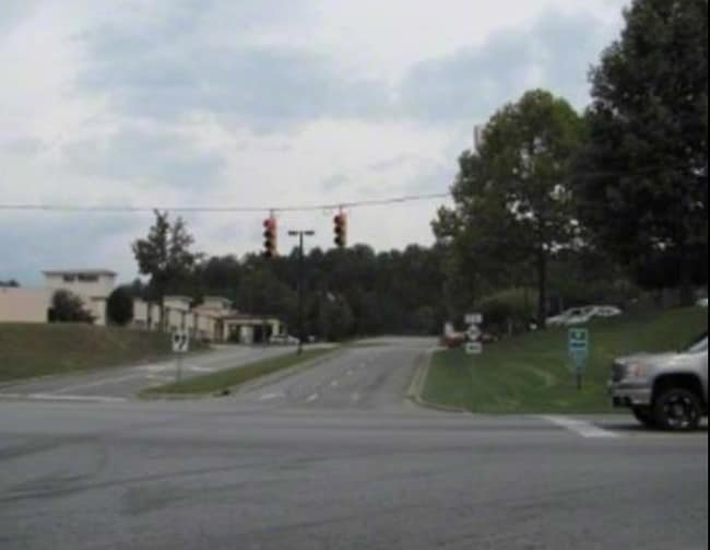
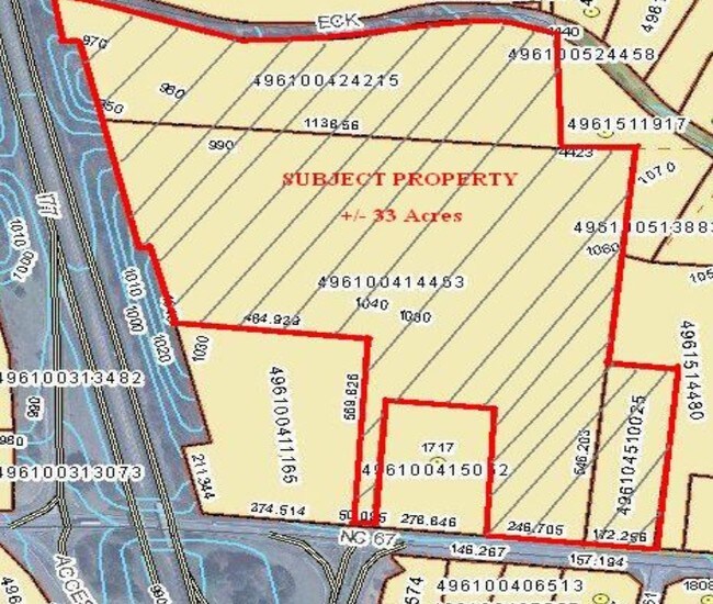
Property Record
Nc 67 Hwy, Jonesville, NC 28642
NEARBY LISTINGS FOR SALE OR LEASE
Property Detail
Nc 67 Hwy
124933
OTHERS-CHECK DEED
Vacantlandnec
Yadkin
X
North Carolina
3710496100K
2.18 AC
2025
Yadkin County
2025
Greensboro/Winston-Salem
050300
Winston-Salem, NC
DEMOGRAPHICS near Nc 67 Hwy
1 Mile
3 Mile
5 Mile
2024 Total Population
1,224
9,164
14,209
2029 Population
1,258
9,386
14,451
Pop Growth 2024-2029
+ 2.78%
+ 2.42%
+ 1.70%
Average Age
43
43
43
2024 Total Households
550
3,948
6,059
HH Growth 2024-2029
+ 2.91%
+ 2.41%
+ 1.70%
Median Household Inc
$25,333
$52,130
$54,581
Avg Household Size
2.20
2.20
2.30
2024 Avg HH Vehicles
2.00
2.00
2.00
Median Home Value
$101,938
$143,865
$146,635
Median Year Built
1972
1970
1970
Nearby Places
Map Layers
Map Styles
 Street
 Aerial
- Restaurants
- Banks
- Shops
- Fitness
- Groceries
SALE & LEASE HISTORY
LISTING DATE
SALE/LEASE

Sep 24, 2016
For Sale
Nearby Properties
Address
Land Use
TOTAL SIZE
Lot Size
Zoning
Address
Land Use
TOTAL SIZE
Lot Size
Zoning
155,096 SF
149.94 AC
MA
Address
Land Use
TOTAL SIZE
Lot Size
Zoning
666,492 SF
61.07 AC
Address
Land Use
TOTAL SIZE
Lot Size
Zoning
217,774 SF
39.92 AC
HB
Address
Land Use
TOTAL SIZE
Lot Size
Zoning
94,923 SF
18.31 AC
MDR
Address
Land Use
TOTAL SIZE
Lot Size
Zoning
415,005 SF
37.38 AC
M2
Address
Land Use
TOTAL SIZE
Lot Size
Zoning
227,661 SF
285.97 AC
MI
Address
Land Use
TOTAL SIZE
Lot Size
Zoning
6,050 SF
11.80 AC
MA
Address
Land Use
TOTAL SIZE
Lot Size
Zoning
57,895 SF
1.34 AC
B2
Address
Land Use
TOTAL SIZE
Lot Size
Zoning
69,411 SF
18.99 AC
MA
Address
Land Use
TOTAL SIZE
Lot Size
Zoning
117,278 SF
17.06 AC
B2
Address
Land Use
TOTAL SIZE
Lot Size
Zoning
69,396 SF
9 AC
R12
Address
Land Use
TOTAL SIZE
Lot Size
Zoning
21,714 SF
1.90 AC
MDR
Address
Land Use
TOTAL SIZE
Lot Size
Zoning
46,128 SF
5.09 AC
MA
Address
Land Use
TOTAL SIZE
Lot Size
Zoning
52,248 SF
2.76 AC
Address
Land Use
TOTAL SIZE
Lot Size
Zoning
1,760 SF
8.17 AC
B2
Address
Land Use
TOTAL SIZE
Lot Size
Zoning
30,980 SF
5.75 AC
B2
Address
Land Use
TOTAL SIZE
Lot Size
Zoning
14,784 SF
2.17 AC
B2
Address
Land Use
TOTAL SIZE
Lot Size
Zoning
32,940 SF
6.15 AC
B1
Address
Land Use
TOTAL SIZE
Lot Size
Zoning
9,159 SF
6.61 AC
B2
Address
Land Use
TOTAL SIZE
Lot Size
Zoning
35,055 SF
3.28 AC
Address
Land Use
TOTAL SIZE
Lot Size
Zoning
44,000 SF
5.01 AC
Address
Land Use
TOTAL SIZE
Lot Size
Zoning
18,674 SF
10 AC
R8
Address
Land Use
TOTAL SIZE
Lot Size
Zoning
17,272 SF
6.62 AC
R20
Address
Land Use
TOTAL SIZE
Lot Size
Zoning
6,814 SF
4.54 AC
HB
Address
Land Use
TOTAL SIZE
Lot Size
Zoning
18,274 SF
2.13 AC
HB
Address
Land Use
TOTAL SIZE
Lot Size
Zoning
17,586 SF
27 AC
B2
Address
Land Use
TOTAL SIZE
Lot Size
Zoning
51,558 SF
4.61 AC
Address
Land Use
TOTAL SIZE
Lot Size
Zoning
28,976 SF
28.02 AC
MDR
Address
Land Use
TOTAL SIZE
Lot Size
Zoning
12,640 SF
4.25 AC
R12
Address
Land Use
TOTAL SIZE
Lot Size
Zoning
14,580 SF
1.41 AC
MA
The World's #1 Commercial Real Estate Marketplace
Connect with us
© 2026 CoStar Group
The information above has been obtained from sources believed reliable. While we do not doubt its accuracy we have not verified it and make no guarantee, warranty or representation about it. It is your responsibility to independently confirm its accuracy and completeness. Any projections, opinions, assumptions, or estimates used are for example only and do not represent the current or future performance of the property. The value of this transaction to you depends on tax and other factors which should be evaluated by your tax, financial, and legal advisors. You and your advisors should conduct a careful, independent investigation of the property to determine to your satisfaction the suitability of the property for your needs.