Property Record
14620 W Morrison Rd, Lakewood, CO 80228

Property Detail
14620 W Morrison Rd
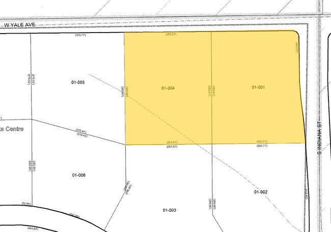
50-011-00-001
SECTION 01 TOWNSHIP 05 RANGE 70 QTR NE SIZE: 5223941 VALUE: 119.925 KEY=009 SECTION 36 TOWNSHIP 04 RANGE 70 QTR SE SIZE: 1580259 VALUE: 36.278 KEY=004
Parkplaygroundpicnicarea
JEFFERSON
A1
Colorado
A Areas with a 1% annual chance of flooding and a 26% chance of flooding over the life of a 30-year mortgage.
156.20 AC
0
West Denver
2024
Denver
011711
Denver-Aurora-Centennial, CO
NEARBY LISTINGS FOR SALE OR LEASE
DEMOGRAPHICS near 14620 W Morrison Rd
1 mile
3 mile
5 mile
2025 Total Population
1,734
24,045
117,343
2030 Population
1,749
23,840
116,622
Pop Growth 2025-2030
+ 0.87%
(0.85%)
(0.61%)
Average Age
42
43
42
2025 Total Households
647
9,068
48,331
HH Growth 2025-2030
+ 0.46%
(0.97%)
(0.59%)
Median Household Inc
$223,497
$156,701
$108,965
Avg Household Size
2.60
2.60
2.40
2025 Avg HH Vehicles
2.00
2.00
2.00
Median Home Value
$1,007,692
$770,019
$680,974
Median Year Built
2010
1989
1983
Nearby Places
Map Layers
Map Styles
 Street
 Aerial
Transit
 Traffic
 Biking
Places
Listings with unknown addresses are not visible on the map
- Restaurants
- Banks
- Shops
- Fitness
- Groceries
SALE & LEASE HISTORY
LISTING DATE
SALE/LEASE

Sep 24, 2016
For Sale
May 22, 2017
For Sale
Jul 05, 2017
For Sale
Nearby Properties
Address
Land Use
TOTAL SIZE
Lot Size
Zoning
Address
Land Use
TOTAL SIZE
Lot Size
Zoning
5,075 SF
1,955.14 AC
A2
Address
Land Use
TOTAL SIZE
Lot Size
Zoning
173,389 SF
24.80 AC
Address
Land Use
TOTAL SIZE
Lot Size
Zoning
294,876 SF
12.25 AC
Address
Land Use
TOTAL SIZE
Lot Size
Zoning
80,798 SF
12.27 AC
PD
Address
Land Use
TOTAL SIZE
Lot Size
Zoning
230,358 SF
13.64 AC
Address
Land Use
TOTAL SIZE
Lot Size
Zoning
70,614 SF
4.78 AC
CDOLI
Address
Land Use
TOTAL SIZE
Lot Size
Zoning
101,894 SF
15.56 AC
Address
Land Use
TOTAL SIZE
Lot Size
Zoning
124,224 SF
1.56 AC
Address
Land Use
TOTAL SIZE
Lot Size
Zoning
57,221 SF
2.31 AC
Address
Land Use
TOTAL SIZE
Lot Size
Zoning
77,135 SF
8.09 AC
Address
Land Use
TOTAL SIZE
Lot Size
Zoning
134.98 AC
PD
Address
Land Use
TOTAL SIZE
Lot Size
Zoning
72,694 SF
13.85 AC
Address
Land Use
TOTAL SIZE
Lot Size
Zoning
56,769 SF
2.28 AC
Address
Land Use
TOTAL SIZE
Lot Size
Zoning
33,467 SF
2.51 AC
CDOLI
Address
Land Use
TOTAL SIZE
Lot Size
Zoning
64,336 SF
2.56 AC
PD
Address
Land Use
TOTAL SIZE
Lot Size
Zoning
108,566 SF
9.84 AC
C1
Address
Land Use
TOTAL SIZE
Lot Size
Zoning
33.55 AC
Address
Land Use
TOTAL SIZE
Lot Size
Zoning
122,296 SF
9.78 AC
PD
Address
Land Use
TOTAL SIZE
Lot Size
Zoning
50,892 SF
63.59 AC
OS-C
Address
Land Use
TOTAL SIZE
Lot Size
Zoning
1,959.26 AC
A2
Address
Land Use
TOTAL SIZE
Lot Size
Zoning
90.62 AC
PD
Address
Land Use
TOTAL SIZE
Lot Size
Zoning
50,148 SF
3.55 AC
Address
Land Use
TOTAL SIZE
Lot Size
Zoning
71,556 SF
8.07 AC
Address
Land Use
TOTAL SIZE
Lot Size
Zoning
367.86 AC
A2
Address
Land Use
TOTAL SIZE
Lot Size
Zoning
51,500 SF
9.07 AC
PD
Address
Land Use
TOTAL SIZE
Lot Size
Zoning
115.60 AC
A1
Address
Land Use
TOTAL SIZE
Lot Size
Zoning
49,576 SF
3.42 AC
Address
Land Use
TOTAL SIZE
Lot Size
Zoning
9,942 SF
276.11 AC
CO
Address
Land Use
TOTAL SIZE
Lot Size
Zoning
98,174 SF
13.17 AC
Address
Land Use
TOTAL SIZE
Lot Size
Zoning
73,750 SF
10.40 AC
The World's #1 Commercial Real Estate Marketplace
Connect with us
© 2026 CoStar Group
The information above has been obtained from sources believed reliable. While we do not doubt its accuracy we have not verified it and make no guarantee, warranty or representation about it. It is your responsibility to independently confirm its accuracy and completeness. Any projections, opinions, assumptions, or estimates used are for example only and do not represent the current or future performance of the property. The value of this transaction to you depends on tax and other factors which should be evaluated by your tax, financial, and legal advisors. You and your advisors should conduct a careful, independent investigation of the property to determine to your satisfaction the suitability of the property for your needs.