Property Record
Noid Rd, Canton, SD 57013

NEARBY LISTINGS FOR SALE OR LEASE
Property Detail
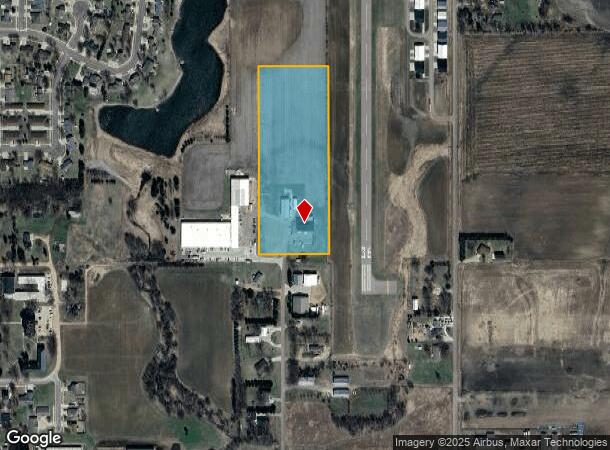
Noid Rd
Sioux Falls, SD-MN
Industrial Park Add
200.50.13.402
LANDS IN CANTON-IND TR 1 & N 544.5' OF S 2476. 4' OF W 400' OF E 1133' SE14
Commercialnec
Lincoln
X
South Dakota
19119C0375D
402
2024
9.83 AC
2024
Sioux Falls
010200
Other Market Areas
DEMOGRAPHICS near Noid Rd
1 Mile
3 Mile
5 Mile
2024 Total Population
2,003
3,810
4,257
2029 Population
2,418
4,583
5,103
Pop Growth 2024-2029
+ 20.72%
+ 20.29%
+ 19.87%
Average Age
42
42
42
2024 Total Households
778
1,505
1,668
HH Growth 2024-2029
+ 21.08%
+ 20.73%
+ 20.32%
Median Household Inc
$77,517
$75,164
$75,579
Avg Household Size
2.50
2.50
2.50
2024 Avg HH Vehicles
2.00
3.00
3.00
Median Home Value
$202,941
$185,604
$191,718
Median Year Built
1970
1963
1963
Nearby Places
Map Layers
Map Styles
 Street
 Aerial
- Restaurants
- Banks
- Shops
- Fitness
- Groceries
PUBLIC TRANSPORTATION
AIRPORT
Joe Foss Field
DRIVE
WALK
Distance
Joe Foss Field
44 min
28.3 mi
SALE & LEASE HISTORY
LISTING DATE
SALE/LEASE

Jun 07, 2017
For Lease
Nearby Properties
Address
Land Use
TOTAL SIZE
Lot Size
Zoning
Address
Land Use
TOTAL SIZE
Lot Size
Zoning
24.55 AC
I-1 LIGHT
Address
Land Use
TOTAL SIZE
Lot Size
Zoning
8.01 AC
MUNICIPALI
Address
Land Use
TOTAL SIZE
Lot Size
Zoning
11.45 AC
MUNICIPALI
Address
Land Use
TOTAL SIZE
Lot Size
Zoning
5.14 AC
MUNICIPALI
Address
Land Use
TOTAL SIZE
Lot Size
Zoning
2.62 AC
MUNICIPALI
Address
Land Use
TOTAL SIZE
Lot Size
Zoning
16.28 AC
MUNICIPALI
Address
Land Use
TOTAL SIZE
Lot Size
Zoning
9.72 AC
C COMMERCI
Address
Land Use
TOTAL SIZE
Lot Size
Zoning
9.76 AC
MUNICIPALI
Address
Land Use
TOTAL SIZE
Lot Size
Zoning
1.42 AC
MUNICIPALI
Address
Land Use
TOTAL SIZE
Lot Size
Zoning
9.24 AC
MUNICIPALI
Address
Land Use
TOTAL SIZE
Lot Size
Zoning
1.48 AC
MUNICIPALI
Address
Land Use
TOTAL SIZE
Lot Size
Zoning
1.83 AC
MUNICIPALI
Address
Land Use
TOTAL SIZE
Lot Size
Zoning
14.29 AC
MUNICIPALI
Address
Land Use
TOTAL SIZE
Lot Size
Zoning
Address
Land Use
TOTAL SIZE
Lot Size
Zoning
3.60 AC
C COMMERCI
Address
Land Use
TOTAL SIZE
Lot Size
Zoning
5.30 AC
MUNICIPALI
Address
Land Use
TOTAL SIZE
Lot Size
Zoning
1.22 AC
MUNICIPALI
Address
Land Use
TOTAL SIZE
Lot Size
Zoning
2.44 AC
C COMMERCI
Address
Land Use
TOTAL SIZE
Lot Size
Zoning
1.29 AC
MUNICIPALI
Address
Land Use
TOTAL SIZE
Lot Size
Zoning
5 AC
MUNICIPALI
Address
Land Use
TOTAL SIZE
Lot Size
Zoning
1.04 AC
MUNICIPALI
Address
Land Use
TOTAL SIZE
Lot Size
Zoning
0.54 AC
MUNICIPALI
Address
Land Use
TOTAL SIZE
Lot Size
Zoning
2.65 AC
A-1 AGRICU
Address
Land Use
TOTAL SIZE
Lot Size
Zoning
0.58 AC
MUNICIPALI
Address
Land Use
TOTAL SIZE
Lot Size
Zoning
0.32 AC
MUNICIPALI
Address
Land Use
TOTAL SIZE
Lot Size
Zoning
0.57 AC
MUNICIPALI
Address
Land Use
TOTAL SIZE
Lot Size
Zoning
90.26 AC
RC, A-1
Address
Land Use
TOTAL SIZE
Lot Size
Zoning
0.43 AC
MUNICIPALI
Address
Land Use
TOTAL SIZE
Lot Size
Zoning
1.03 AC
MUNICIPALI
The World's #1 Commercial Real Estate Marketplace
Connect with us
© 2026 CoStar Group
The information above has been obtained from sources believed reliable. While we do not doubt its accuracy we have not verified it and make no guarantee, warranty or representation about it. It is your responsibility to independently confirm its accuracy and completeness. Any projections, opinions, assumptions, or estimates used are for example only and do not represent the current or future performance of the property. The value of this transaction to you depends on tax and other factors which should be evaluated by your tax, financial, and legal advisors. You and your advisors should conduct a careful, independent investigation of the property to determine to your satisfaction the suitability of the property for your needs.