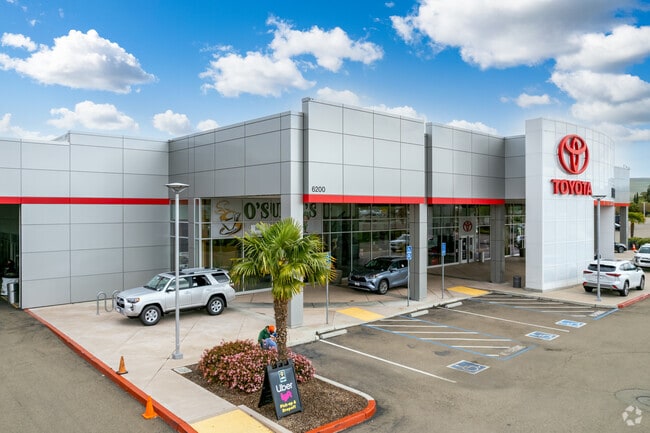
Property Record
Northfront Rd, Livermore, CA 94550

Property Detail
Northfront Rd
Oakland-Fremont-Berkeley, CA
LOT: 00001 BLK: PM: 0324 PAGE: 0039 ;LOT: 00002 BLK: PM: 0324 PAGE: 0039 ;LOT: 00003 BLK: PM: 0324 PAGE: 0039
099B-8129-006-00
ALAMEDA
Commercialacreage
California
B and X Area of moderate flood hazard, usually the area between the limits of the 100-year and 500-year floods.
2.49 AC
2024
Livermore
2025
East Bay/Oakland
451601
NEARBY LISTINGS FOR SALE OR LEASE
DEMOGRAPHICS near Northfront Rd
1 mile
3 mile
5 mile
2025 Total Population
11,204
37,222
77,692
2030 Population
11,114
36,973
77,347
Pop Growth 2025-2030
(0.80%)
(0.67%)
(0.44%)
Average Age
40
41
42
2025 Total Households
3,724
13,041
27,936
HH Growth 2025-2030
(0.99%)
(0.82%)
(0.52%)
Median Household Inc
$139,360
$155,095
$146,623
Avg Household Size
2.90
2.80
2.70
2025 Avg HH Vehicles
2.00
2.00
2.00
Median Home Value
$954,369
$1,015,095
$1,017,167
Median Year Built
1991
1985
1979
Nearby Places
Map Layers
Map Styles
 Street
 Aerial
Transit
 Traffic
 Biking
Places
Listings with unknown addresses are not visible on the map
- Restaurants
- Banks
- Shops
- Fitness
- Groceries
PUBLIC TRANSPORTATION
COMMUTER RAIL
Vasco Rd Station (ACE Train - Altamont Corridor Express)
Drive
Walk
Distance
Vasco Rd Station (ACE Train - Altamont Corridor Express)
5 min
1.9 mi
Livermore Station (ACE Train - Altamont Corridor Express)
Drive
Walk
Distance
Livermore Station (ACE Train - Altamont Corridor Express)
8 min
3.8 mi
AIRPORT
Metro Oakland International
Drive
Walk
Distance
Metro Oakland International
38 min
30.2 mi
Stockton Metro
Drive
Walk
Distance
Stockton Metro
44 min
35.7 mi
Norman Y Mineta San Jose International
Drive
Walk
Distance
Norman Y Mineta San Jose International
49 min
36.1 mi
Freight Ports
Port of Stockton
Drive
Walk
Distance
Port of Stockton
47 min
39.0 mi
Nearby Properties
Address
Land Use
TOTAL SIZE
Lot Size
Zoning
Address
Land Use
TOTAL SIZE
Lot Size
Zoning
609,984 SF
34.43 AC
Address
Land Use
TOTAL SIZE
Lot Size
Zoning
372,574 SF
19.75 AC
Address
Land Use
TOTAL SIZE
Lot Size
Zoning
322,482 SF
15.52 AC
Address
Land Use
TOTAL SIZE
Lot Size
Zoning
183,774 SF
15.21 AC
Address
Land Use
TOTAL SIZE
Lot Size
Zoning
89,049 SF
8.17 AC
Address
Land Use
TOTAL SIZE
Lot Size
Zoning
52,458 SF
13.11 AC
Address
Land Use
TOTAL SIZE
Lot Size
Zoning
267,413 SF
14.02 AC
Address
Land Use
TOTAL SIZE
Lot Size
Zoning
241,591 SF
12.75 AC
Address
Land Use
TOTAL SIZE
Lot Size
Zoning
94,332 SF
8.89 AC
Address
Land Use
TOTAL SIZE
Lot Size
Zoning
128,622 SF
6.68 AC
Address
Land Use
TOTAL SIZE
Lot Size
Zoning
75,564 SF
3.34 AC
Address
Land Use
TOTAL SIZE
Lot Size
Zoning
150,063 SF
4.96 AC
Address
Land Use
TOTAL SIZE
Lot Size
Zoning
333,938 SF
19.21 AC
Address
Land Use
TOTAL SIZE
Lot Size
Zoning
88,789 SF
5.63 AC
Address
Land Use
TOTAL SIZE
Lot Size
Zoning
99,280 SF
6.11 AC
Address
Land Use
TOTAL SIZE
Lot Size
Zoning
70,472 SF
7.13 AC
Address
Land Use
TOTAL SIZE
Lot Size
Zoning
135,039 SF
13.45 AC
Address
Land Use
TOTAL SIZE
Lot Size
Zoning
111,172 SF
6.06 AC
Address
Land Use
TOTAL SIZE
Lot Size
Zoning
90,500 SF
4.94 AC
Address
Land Use
TOTAL SIZE
Lot Size
Zoning
88,633 SF
9.54 AC
Address
Land Use
TOTAL SIZE
Lot Size
Zoning
276,065 SF
13.13 AC
Address
Land Use
TOTAL SIZE
Lot Size
Zoning
73,561 SF
5.81 AC
Address
Land Use
TOTAL SIZE
Lot Size
Zoning
119,184 SF
13.19 AC
Address
Land Use
TOTAL SIZE
Lot Size
Zoning
Address
Land Use
TOTAL SIZE
Lot Size
Zoning
58,002 SF
9.47 AC
Address
Land Use
TOTAL SIZE
Lot Size
Zoning
201,304 SF
11.68 AC
Address
Land Use
TOTAL SIZE
Lot Size
Zoning
106,700 SF
6.19 AC
Address
Land Use
TOTAL SIZE
Lot Size
Zoning
388,368 SF
17.74 AC
Address
Land Use
TOTAL SIZE
Lot Size
Zoning
67,701 SF
4.26 AC
Address
Land Use
TOTAL SIZE
Lot Size
Zoning
286,100 SF
13.35 AC
The World's #1 Commercial Real Estate Marketplace
Connect with us
© 2026 CoStar Group
The information above has been obtained from sources believed reliable. While we do not doubt its accuracy we have not verified it and make no guarantee, warranty or representation about it. It is your responsibility to independently confirm its accuracy and completeness. Any projections, opinions, assumptions, or estimates used are for example only and do not represent the current or future performance of the property. The value of this transaction to you depends on tax and other factors which should be evaluated by your tax, financial, and legal advisors. You and your advisors should conduct a careful, independent investigation of the property to determine to your satisfaction the suitability of the property for your needs.