Property Record
7464 E Main St, Mesa, AZ 85207

NEARBY LISTINGS FOR SALE OR LEASE
Property Detail
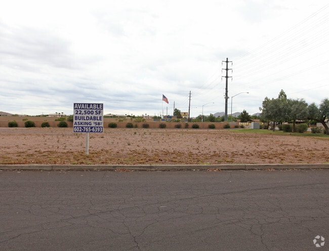
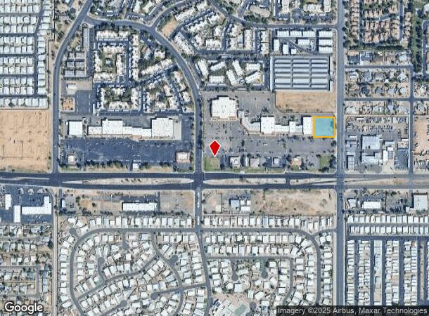
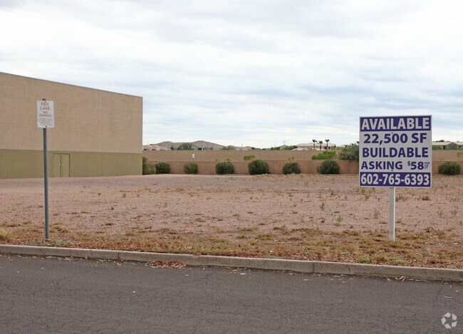
7464 E Main St
Phoenix-Mesa-Scottsdale, AZ
Sunvalley Plaza Lots 7 & 8 Replat
218-16-301C
SUNVALLEY PLAZA LOTS 7 & 8 REPLAT MCR 375-24
Commercialacreage
Maricopa
X
Arizona
04013C2295L
8
2025
0.81 AC
2025
Mesa East
420113
Phoenix
DEMOGRAPHICS near 7464 E Main St
1 Mile
3 Mile
5 Mile
2024 Total Population
16,441
107,139
271,024
2029 Population
18,160
116,690
294,952
Pop Growth 2024-2029
+ 10.46%
+ 8.91%
+ 8.83%
Average Age
48
47
44
2024 Total Households
7,277
46,220
110,057
HH Growth 2024-2029
+ 11.14%
+ 9.20%
+ 9.21%
Median Household Inc
$57,428
$60,704
$69,800
Avg Household Size
2.10
2.20
2.40
2024 Avg HH Vehicles
2.00
2.00
2.00
Median Home Value
$196,132
$275,965
$327,410
Median Year Built
1990
1988
1993
Nearby Places
- Restaurants
- Banks
- Shops
- Fitness
- Groceries
PUBLIC TRANSPORTATION
AIRPORT
Phoenix-Mesa Gateway
DRIVE
WALK
Distance
Phoenix-Mesa Gateway
17 min
9.3 mi
Phoenix Sky Harbor International
DRIVE
WALK
Distance
Phoenix Sky Harbor International
34 min
25.2 mi
Freight Ports
Port of San Diego
DRIVE
WALK
Distance
Port of San Diego
422 min
383.3 mi
Nearby Properties
Address
Land Use
TOTAL SIZE
Lot Size
Zoning
Address
Land Use
TOTAL SIZE
Lot Size
Zoning
1,522,034 SF
32.67 AC
C-N
Address
Land Use
TOTAL SIZE
Lot Size
Zoning
53,910 SF
4.98 AC
C-G
Address
Land Use
TOTAL SIZE
Lot Size
Zoning
57.25 AC
PF
Address
Land Use
TOTAL SIZE
Lot Size
Zoning
324,534 SF
50.86 AC
PF
Address
Land Use
TOTAL SIZE
Lot Size
Zoning
271,098 SF
142.75 AC
PF
Address
Land Use
TOTAL SIZE
Lot Size
Zoning
390,917 SF
15.82 AC
RM4
Address
Land Use
TOTAL SIZE
Lot Size
Zoning
279,338 SF
39.90 AC
PF
Address
Land Use
TOTAL SIZE
Lot Size
Zoning
18.75 AC
PF
Address
Land Use
TOTAL SIZE
Lot Size
Zoning
711,933 SF
45.84 AC
Address
Land Use
TOTAL SIZE
Lot Size
Zoning
122,042 SF
15.79 AC
PF
Address
Land Use
TOTAL SIZE
Lot Size
Zoning
140,141 SF
37.70 AC
PF
Address
Land Use
TOTAL SIZE
Lot Size
Zoning
172,756 SF
8.52 AC
LC
Address
Land Use
TOTAL SIZE
Lot Size
Zoning
219,041 SF
5.71 AC
I-1
Address
Land Use
TOTAL SIZE
Lot Size
Zoning
8.82 AC
Address
Land Use
TOTAL SIZE
Lot Size
Zoning
1.61 AC
LC
Address
Land Use
TOTAL SIZE
Lot Size
Zoning
82,772 SF
131.12 AC
PF
Address
Land Use
TOTAL SIZE
Lot Size
Zoning
267,380 SF
17.08 AC
M-H
Address
Land Use
TOTAL SIZE
Lot Size
Zoning
225,660 SF
10.36 AC
M-H
Address
Land Use
TOTAL SIZE
Lot Size
Zoning
203,722 SF
11.73 AC
C-G
Address
Land Use
TOTAL SIZE
Lot Size
Zoning
7.90 AC
Address
Land Use
TOTAL SIZE
Lot Size
Zoning
190,630 SF
6.61 AC
M-H
Address
Land Use
TOTAL SIZE
Lot Size
Zoning
80,180 SF
6.44 AC
R-43
Address
Land Use
TOTAL SIZE
Lot Size
Zoning
256,284 SF
11.42 AC
M-H
Address
Land Use
TOTAL SIZE
Lot Size
Zoning
187,297 SF
3.99 AC
R-9
Address
Land Use
TOTAL SIZE
Lot Size
Zoning
7.26 AC
Address
Land Use
TOTAL SIZE
Lot Size
Zoning
94,209 SF
14.93 AC
C-G
Address
Land Use
TOTAL SIZE
Lot Size
Zoning
163,562 SF
16.34 AC
Address
Land Use
TOTAL SIZE
Lot Size
Zoning
124,850 SF
12.09 AC
RM4
Address
Land Use
TOTAL SIZE
Lot Size
Zoning
69,102 SF
12.80 AC
OC
Address
Land Use
TOTAL SIZE
Lot Size
Zoning
308,103 SF
14.78 AC
M-H
The World's #1 Commercial Real Estate Marketplace
Connect with us
© 2025 CoStar Group
The information above has been obtained from sources believed reliable. While we do not doubt its accuracy we have not verified it and make no guarantee, warranty or representation about it. It is your responsibility to independently confirm its accuracy and completeness. Any projections, opinions, assumptions, or estimates used are for example only and do not represent the current or future performance of the property. The value of this transaction to you depends on tax and other factors which should be evaluated by your tax, financial, and legal advisors. You and your advisors should conduct a careful, independent investigation of the property to determine to your satisfaction the suitability of the property for your needs.