Property Record
201 E 13Th St, Saint Cloud, FL 34769

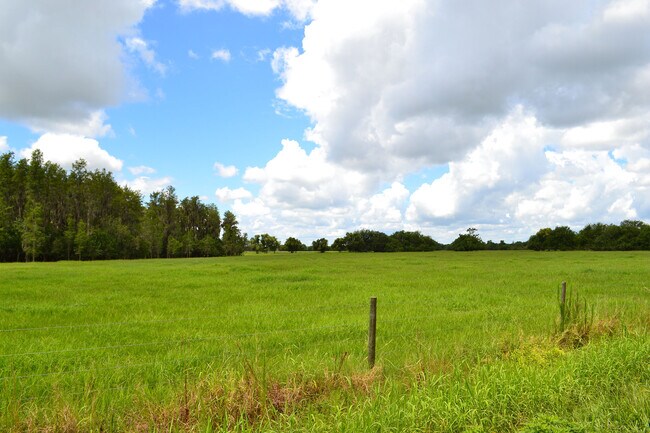

Property Detail
201 E 13Th St
Orlando-Kissimmee-Sanford, FL
S L & I C PB B PG 3 LOT 128
12-26-30-4950-0001-0030
OSCEOLA
Commercialacreage
Florida
OCG
128
B and X Area of moderate flood hazard, usually the area between the limits of the 100-year and 500-year floods.
1.96 AC
2024
Osceola Outlying
2025
Orlando
043400
NEARBY LISTINGS FOR SALE OR LEASE
DEMOGRAPHICS near 201 E 13Th St
1 mile
3 mile
5 mile
2025 Total Population
2,521
45,635
90,987
2030 Population
3,006
53,468
106,953
Pop Growth 2025-2030
+ 19.24%
+ 17.16%
+ 17.55%
Average Age
40
39
39
2025 Total Households
921
16,244
31,401
HH Growth 2025-2030
+ 19.98%
+ 17.84%
+ 18.21%
Median Household Inc
$93,262
$87,031
$88,141
Avg Household Size
2.70
2.80
2.90
2025 Avg HH Vehicles
2.00
2.00
2.00
Median Home Value
$382,448
$387,134
$404,686
Median Year Built
2007
2001
2005
Nearby Places
Map Layers
Map Styles
 Street
 Aerial
Layers
 Traffic
 Biking
Places
Listings with unknown addresses are not visible on the map
- Restaurants
- Banks
- Shops
- Fitness
- Groceries
PUBLIC TRANSPORTATION
COMMUTER RAIL
Kissimmee Amtrak Station (Silver Meteor - Amtrak, Silver Star - Amtrak, SunRail - Amtrak)
Drive
Walk
Distance
Kissimmee Amtrak Station (Silver Meteor - Amtrak, Silver Star - Amtrak, SunRail - Amtrak)
19 min
9.8 mi
AIRPORT
Orlando International
Drive
Walk
Distance
Orlando International
32 min
19.5 mi
Freight Ports
Port Canaveral
Drive
Walk
Distance
Port Canaveral
72 min
55.5 mi
SALE & LEASE HISTORY
LISTING DATE
SALE/LEASE

Jul 16, 2020
For Sale
Nearby Properties
Address
Land Use
TOTAL SIZE
Lot Size
Zoning
Address
Land Use
TOTAL SIZE
Lot Size
Zoning
270,959 SF
10.84 AC
SPUD
Address
Land Use
TOTAL SIZE
Lot Size
Zoning
313,120 SF
54.86 AC
SP
Address
Land Use
TOTAL SIZE
Lot Size
Zoning
118,121 SF
237.16 AC
SP
Address
Land Use
TOTAL SIZE
Lot Size
Zoning
208,677 SF
12.64 AC
Address
Land Use
TOTAL SIZE
Lot Size
Zoning
185,953 SF
63.41 AC
SP
Address
Land Use
TOTAL SIZE
Lot Size
Zoning
77,928 SF
24.79 AC
SHB
Address
Land Use
TOTAL SIZE
Lot Size
Zoning
127,960 SF
14.40 AC
SPUD
Address
Land Use
TOTAL SIZE
Lot Size
Zoning
106,078 SF
15.04 AC
SP
Address
Land Use
TOTAL SIZE
Lot Size
Zoning
50,025 SF
4.45 AC
SP
Address
Land Use
TOTAL SIZE
Lot Size
Zoning
79,854 SF
8.89 AC
SHB
Address
Land Use
TOTAL SIZE
Lot Size
Zoning
136,124 SF
14.46 AC
SAC
Address
Land Use
TOTAL SIZE
Lot Size
Zoning
55,521 SF
10.75 AC
SHB
Address
Land Use
TOTAL SIZE
Lot Size
Zoning
84,902 SF
11.12 AC
SPUD
Address
Land Use
TOTAL SIZE
Lot Size
Zoning
89,482 SF
4.82 AC
SPUD
Address
Land Use
TOTAL SIZE
Lot Size
Zoning
30,520 SF
5.94 AC
SHB
Address
Land Use
TOTAL SIZE
Lot Size
Zoning
88,369 SF
15.54 AC
Address
Land Use
TOTAL SIZE
Lot Size
Zoning
92,108 SF
11.44 AC
SHB
Address
Land Use
TOTAL SIZE
Lot Size
Zoning
86,610 SF
10.79 AC
SP
Address
Land Use
TOTAL SIZE
Lot Size
Zoning
13.38 AC
Address
Land Use
TOTAL SIZE
Lot Size
Zoning
23,597 SF
2.47 AC
SPUD
Address
Land Use
TOTAL SIZE
Lot Size
Zoning
60,211 SF
6.46 AC
SPUD
Address
Land Use
TOTAL SIZE
Lot Size
Zoning
44,380 SF
7.84 AC
SHB
Address
Land Use
TOTAL SIZE
Lot Size
Zoning
70,375 SF
4.58 AC
OAR2
Address
Land Use
TOTAL SIZE
Lot Size
Zoning
70,280 SF
2.01 AC
SPUD
Address
Land Use
TOTAL SIZE
Lot Size
Zoning
20,634 SF
4.55 AC
SHB
Address
Land Use
TOTAL SIZE
Lot Size
Zoning
1,400 SF
5.07 AC
SP
Address
Land Use
TOTAL SIZE
Lot Size
Zoning
113,211 SF
6.80 AC
SI2
Address
Land Use
TOTAL SIZE
Lot Size
Zoning
57,600 SF
4.83 AC
SHB
Address
Land Use
TOTAL SIZE
Lot Size
Zoning
13,900 SF
3.90 AC
SI3
Address
Land Use
TOTAL SIZE
Lot Size
Zoning
50,570 SF
4.98 AC
SPUD
The World's #1 Commercial Real Estate Marketplace
Connect with us
© 2026 CoStar Group
The information above has been obtained from sources believed reliable. While we do not doubt its accuracy we have not verified it and make no guarantee, warranty or representation about it. It is your responsibility to independently confirm its accuracy and completeness. Any projections, opinions, assumptions, or estimates used are for example only and do not represent the current or future performance of the property. The value of this transaction to you depends on tax and other factors which should be evaluated by your tax, financial, and legal advisors. You and your advisors should conduct a careful, independent investigation of the property to determine to your satisfaction the suitability of the property for your needs.