Property Record
Palmdale Rd, Adelanto, CA 92301
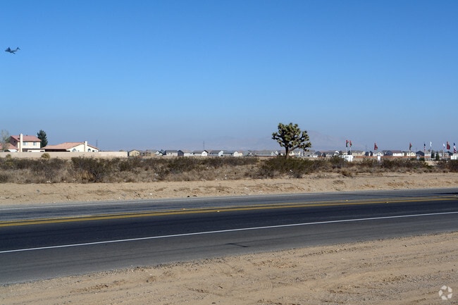

Property Detail
Palmdale Rd
Riverside-San Bernardino-Ontario, CA
E 1/2 W 1/2 E 1/2 NW 1/4 SEC 20 TP 5N R 5W EX ANY PTN LYING WITHIN TRACT 14726-1 AND EX ST ***** 7-25-91 #91-283108 ST *****
3103-411-06
SAN BERNARDINO
Vacantlandnec
California
B and X Area of moderate flood hazard, usually the area between the limits of the 100-year and 500-year floods.
4.55 AC
2025
Mojave River Valley
2025
Inland Empire (California)
009133
NEARBY LISTINGS FOR SALE OR LEASE
DEMOGRAPHICS near Palmdale Rd
1 mile
3 mile
5 mile
2025 Total Population
11,617
48,612
113,520
2030 Population
11,716
49,709
115,851
Pop Growth 2025-2030
+ 0.85%
+ 2.26%
+ 2.05%
Average Age
34
34
35
2025 Total Households
2,585
11,781
28,528
HH Growth 2025-2030
+ 1.16%
+ 2.40%
+ 2.18%
Median Household Inc
$82,455
$88,207
$87,536
Avg Household Size
3.90
3.90
3.70
2025 Avg HH Vehicles
3.00
2.00
2.00
Median Home Value
$353,072
$395,932
$390,839
Median Year Built
1999
2002
2001
Nearby Places
Map Layers
Map Styles
 Street
 Aerial
Layers
 Traffic
 Biking
Places
Listings with unknown addresses are not visible on the map
- Restaurants
- Banks
- Shops
- Fitness
- Groceries
PUBLIC TRANSPORTATION
COMMUTER RAIL
Victorville Amtrak (Southwest Chief - Amtrak)
Drive
Walk
Distance
Victorville Amtrak (Southwest Chief - Amtrak)
13 min
9.7 mi
Freight Ports
Port of Long Beach
Drive
Walk
Distance
Port of Long Beach
114 min
95.4 mi
SALE & LEASE HISTORY
LISTING DATE
SALE/LEASE

Sep 25, 2019
For Lease
Nearby Properties
Address
Land Use
TOTAL SIZE
Lot Size
Zoning
Address
Land Use
TOTAL SIZE
Lot Size
Zoning
Address
Land Use
TOTAL SIZE
Lot Size
Zoning
194,280 SF
22.61 AC
Address
Land Use
TOTAL SIZE
Lot Size
Zoning
71,284 SF
9.34 AC
Address
Land Use
TOTAL SIZE
Lot Size
Zoning
48,050 SF
4.66 AC
Address
Land Use
TOTAL SIZE
Lot Size
Zoning
42,278 SF
5.11 AC
Address
Land Use
TOTAL SIZE
Lot Size
Zoning
36,068 SF
80 AC
Address
Land Use
TOTAL SIZE
Lot Size
Zoning
12,238 SF
1.91 AC
Address
Land Use
TOTAL SIZE
Lot Size
Zoning
40.26 AC
Address
Land Use
TOTAL SIZE
Lot Size
Zoning
14,736 SF
1.96 AC
Address
Land Use
TOTAL SIZE
Lot Size
Zoning
9,000 SF
0.85 AC
Address
Land Use
TOTAL SIZE
Lot Size
Zoning
11,640 SF
0.65 AC
Address
Land Use
TOTAL SIZE
Lot Size
Zoning
5,176 SF
0.92 AC
Address
Land Use
TOTAL SIZE
Lot Size
Zoning
6,971 SF
0.79 AC
Address
Land Use
TOTAL SIZE
Lot Size
Zoning
1.58 AC
Address
Land Use
TOTAL SIZE
Lot Size
Zoning
18.76 AC
Address
Land Use
TOTAL SIZE
Lot Size
Zoning
13,190 SF
1.03 AC
Address
Land Use
TOTAL SIZE
Lot Size
Zoning
1.49 AC
Address
Land Use
TOTAL SIZE
Lot Size
Zoning
26,865 SF
2.50 AC
Address
Land Use
TOTAL SIZE
Lot Size
Zoning
19,764 SF
1.64 AC
Address
Land Use
TOTAL SIZE
Lot Size
Zoning
4,179 SF
1.03 AC
Address
Land Use
TOTAL SIZE
Lot Size
Zoning
9,508 SF
0.78 AC
Address
Land Use
TOTAL SIZE
Lot Size
Zoning
4,080 SF
0.65 AC
Address
Land Use
TOTAL SIZE
Lot Size
Zoning
3,962 SF
1.11 AC
Address
Land Use
TOTAL SIZE
Lot Size
Zoning
4,142 SF
1.13 AC
Address
Land Use
TOTAL SIZE
Lot Size
Zoning
6,900 SF
0.68 AC
Address
Land Use
TOTAL SIZE
Lot Size
Zoning
17.94 AC
Address
Land Use
TOTAL SIZE
Lot Size
Zoning
59.13 AC
RL
Address
Land Use
TOTAL SIZE
Lot Size
Zoning
15,748 SF
0.61 AC
Address
Land Use
TOTAL SIZE
Lot Size
Zoning
11,322 SF
8.61 AC
Address
Land Use
TOTAL SIZE
Lot Size
Zoning
3,122 SF
0.81 AC
The World's #1 Commercial Real Estate Marketplace
Connect with us
© 2026 CoStar Group
The information above has been obtained from sources believed reliable. While we do not doubt its accuracy we have not verified it and make no guarantee, warranty or representation about it. It is your responsibility to independently confirm its accuracy and completeness. Any projections, opinions, assumptions, or estimates used are for example only and do not represent the current or future performance of the property. The value of this transaction to you depends on tax and other factors which should be evaluated by your tax, financial, and legal advisors. You and your advisors should conduct a careful, independent investigation of the property to determine to your satisfaction the suitability of the property for your needs.